In November 2023, Estonian Safety Investigation Bureau (OJK) and Swedish Accident Investigation Authority (SHK), facilitated by Finnish authorities completed a high-resolution seabed imaging survey at the wreck site of MV Estonia.
The purpose of the survey was to gain a better understanding of the flooded vessel's track during the accident and document the seabed around the wreck in detail.
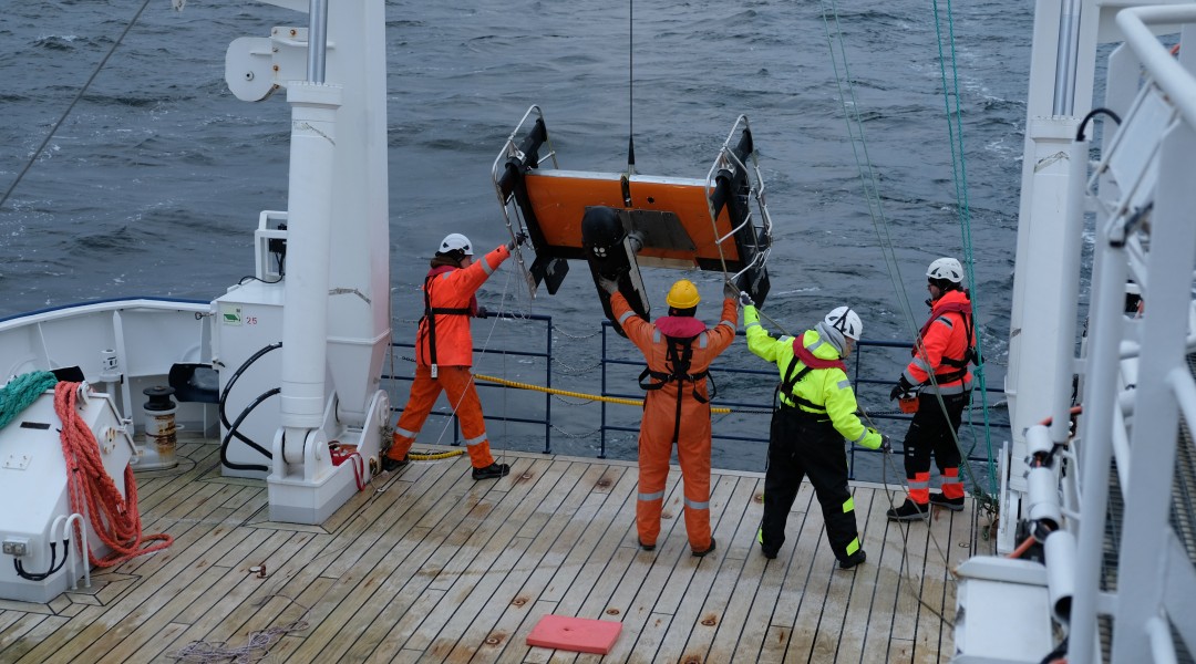
In July 2024, an additional ROV video survey on the sinking track of MV Estonia was carried out. This survey was the follow-up survey for the high-resolution seabed imaging sonar survey conducted in November 2023. About 300 presumably man-made objects were detected and located by the sonar survey in the area of the proposed sinking tracks of MV Estonia. The purpose of the follow-up survey was to identify the detected objects seen on the sonar image, verify whether these originate from MV Estonia and from which part of the vessel, if possible. The additional follow-up marine survey was conducted in co-operation between OJK, the Estonian State Fleet and the European Maritime Safety Agency (EMSA).