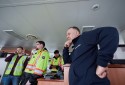
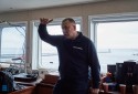
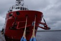
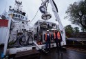
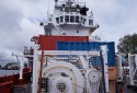
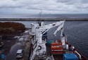
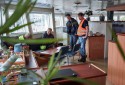
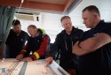
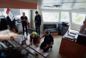
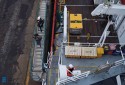
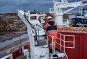
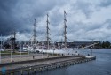
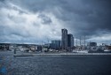
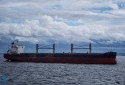
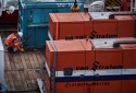
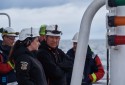
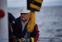
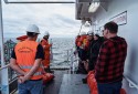
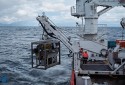
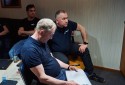
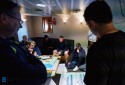
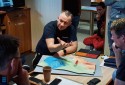
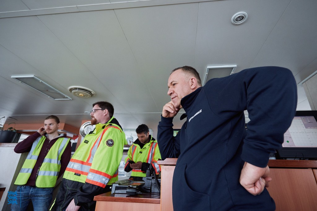
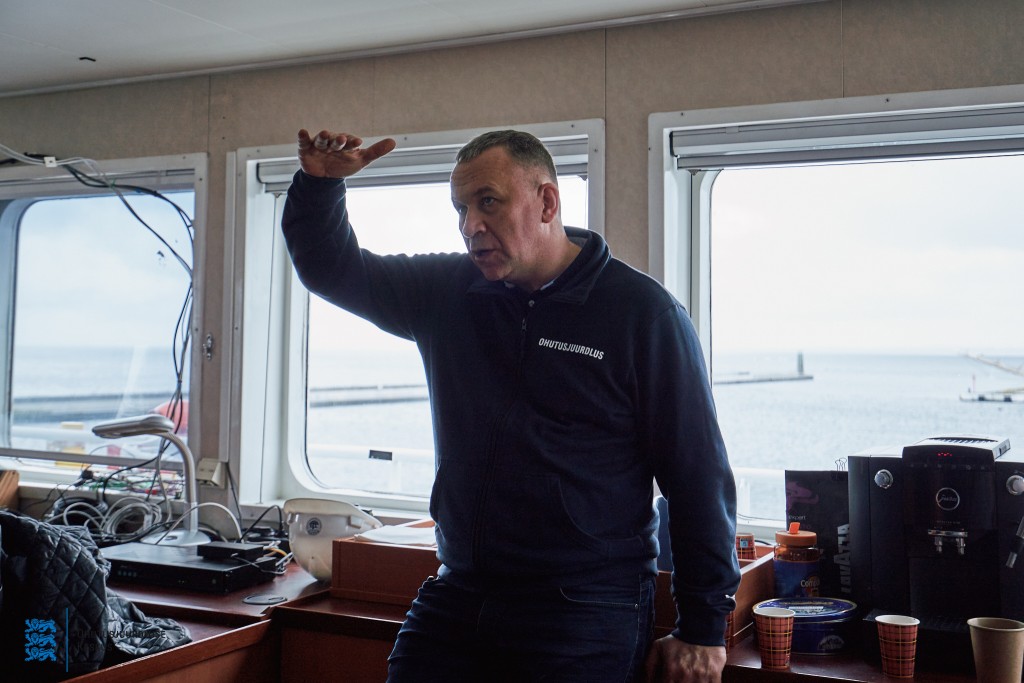
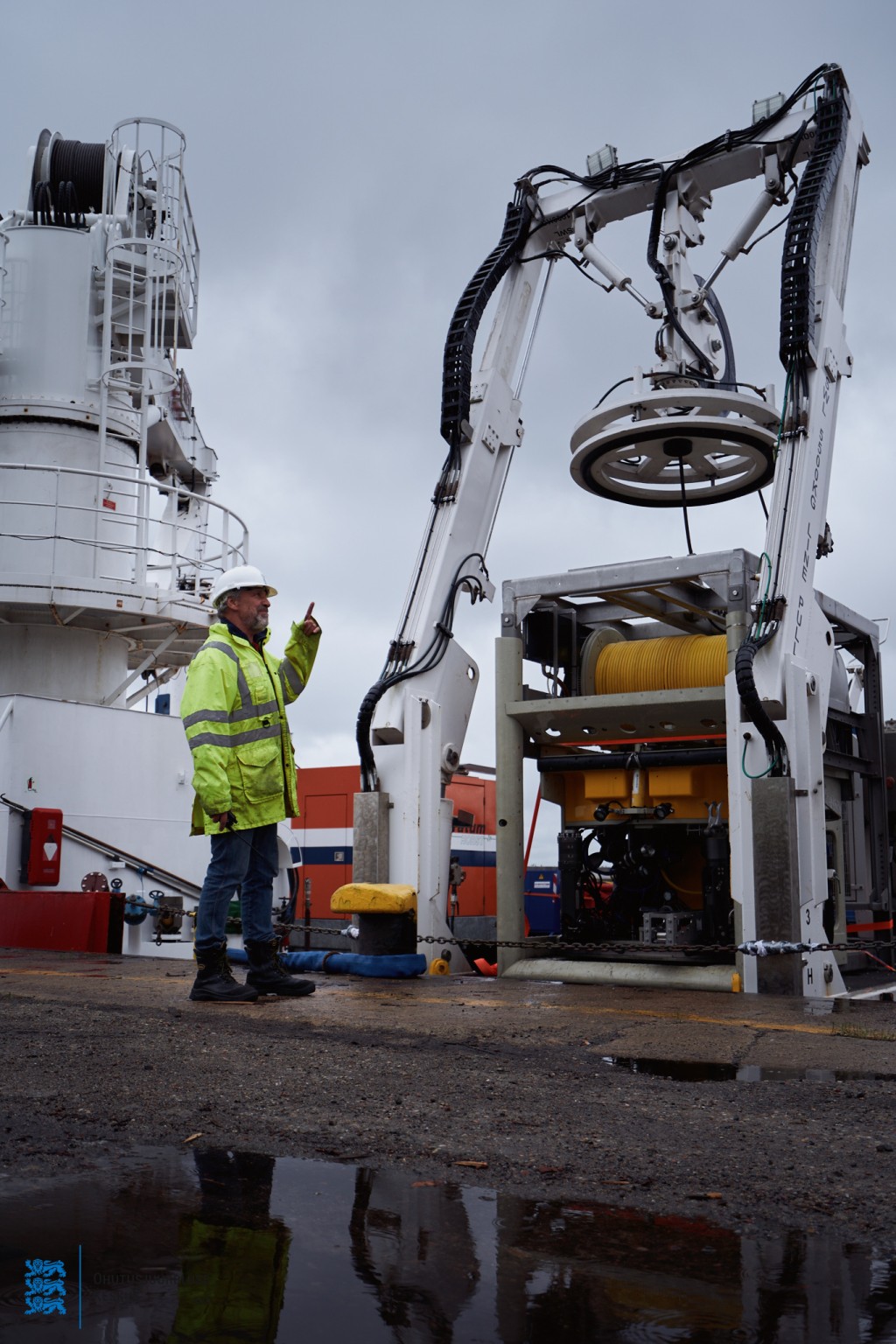
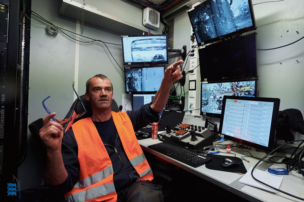
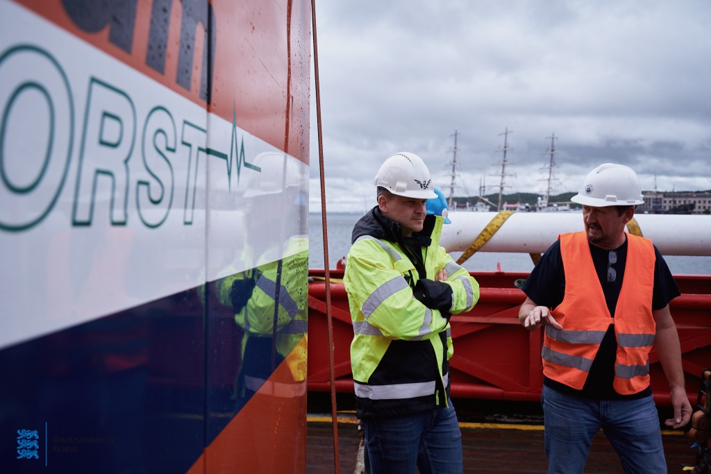
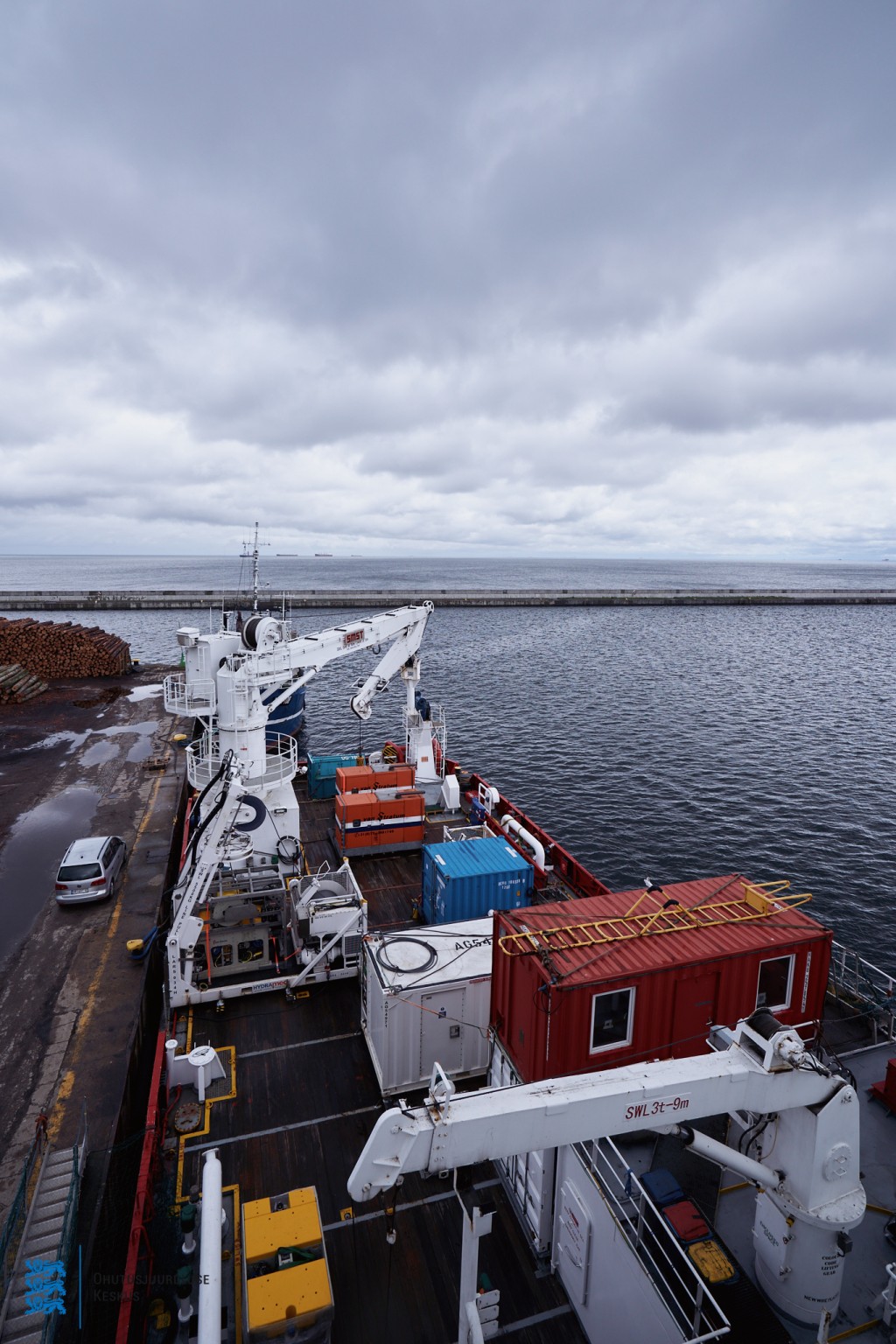
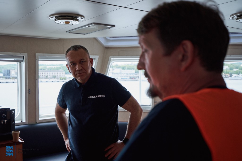
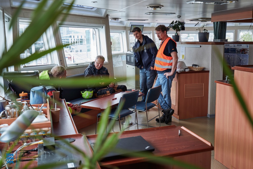
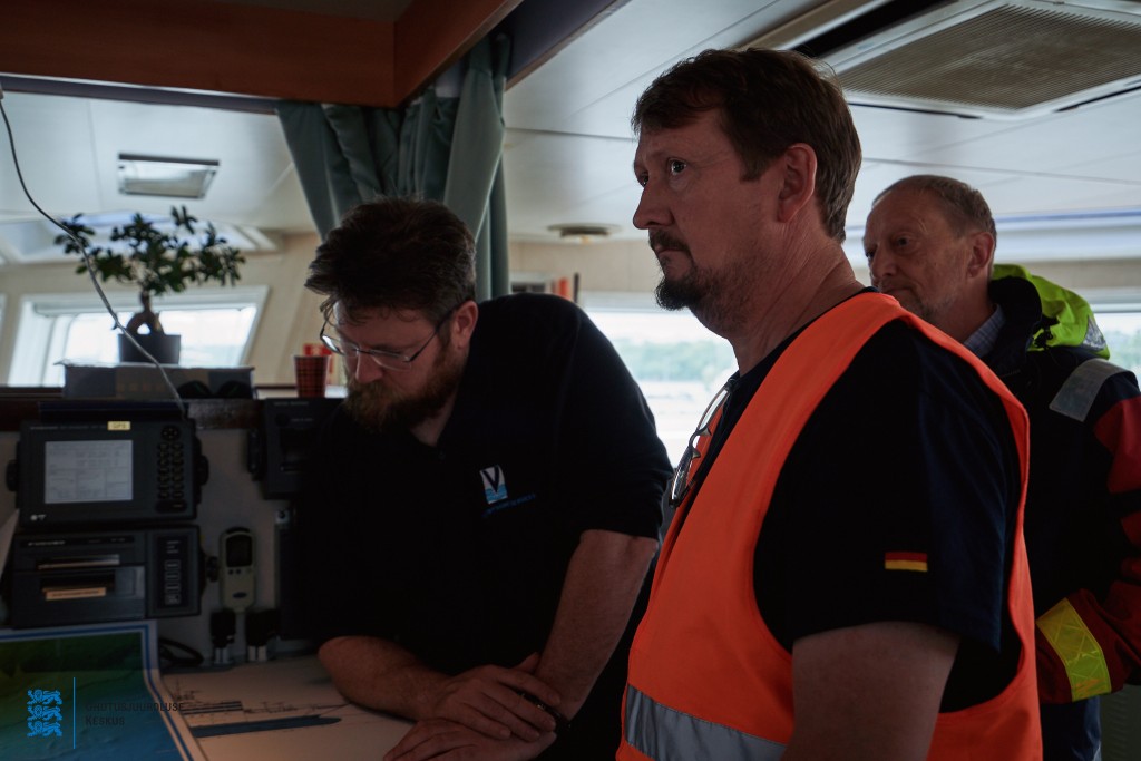
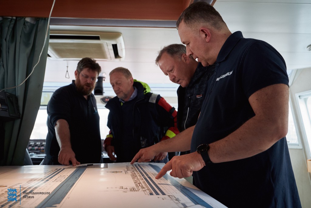
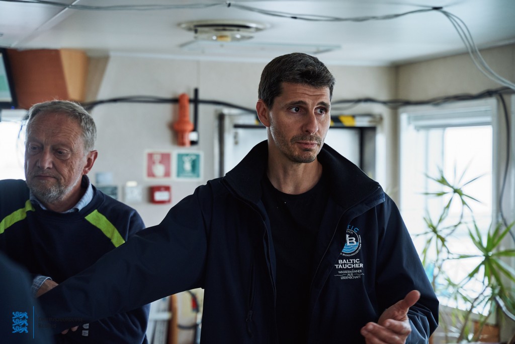
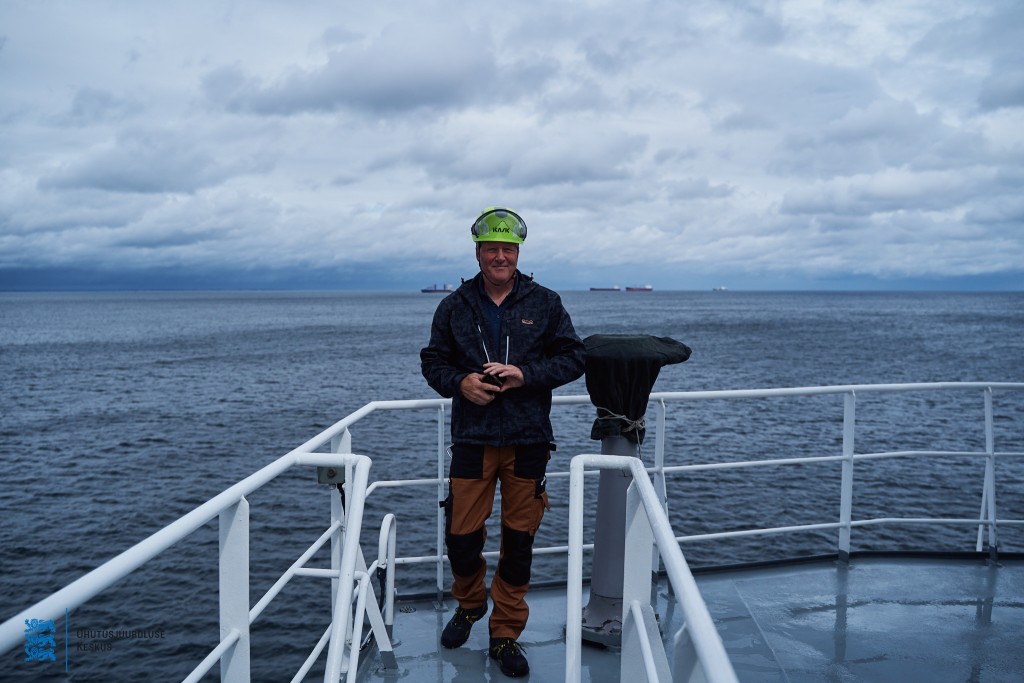
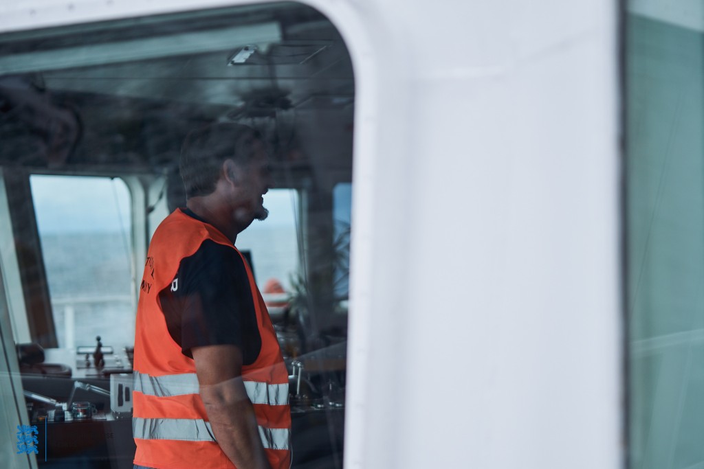
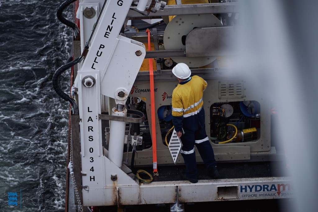
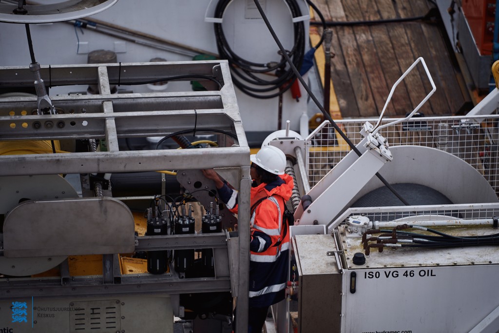
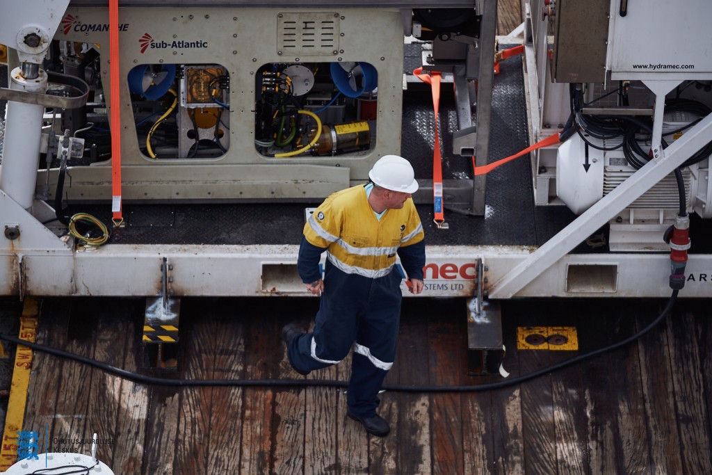
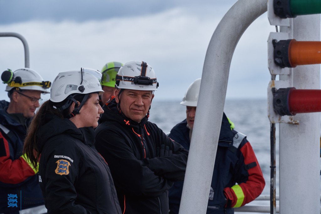
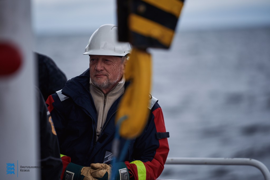
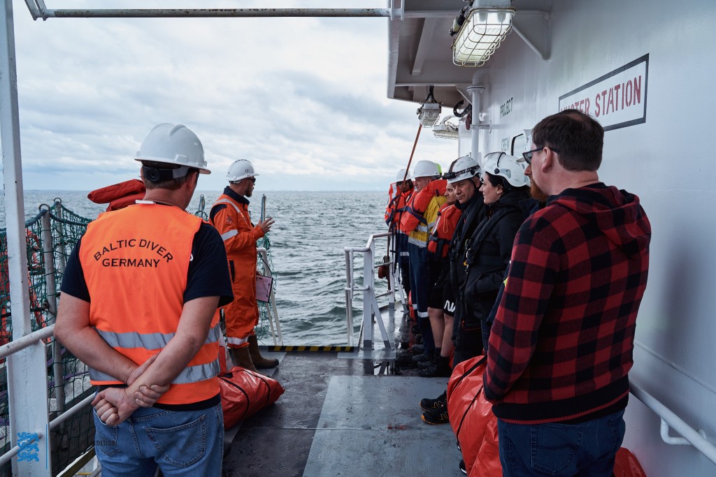
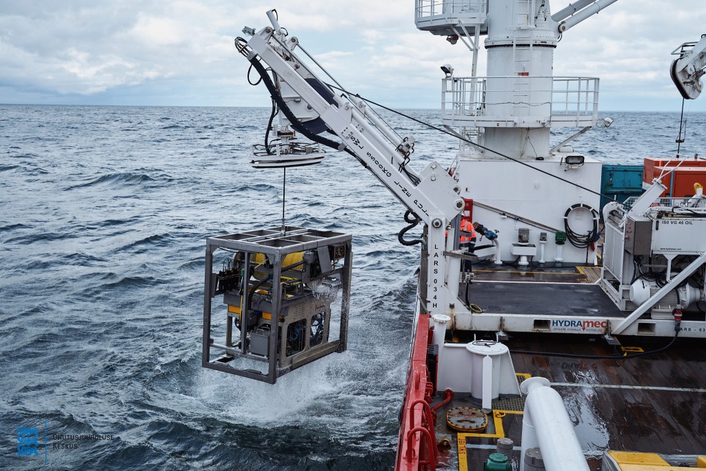
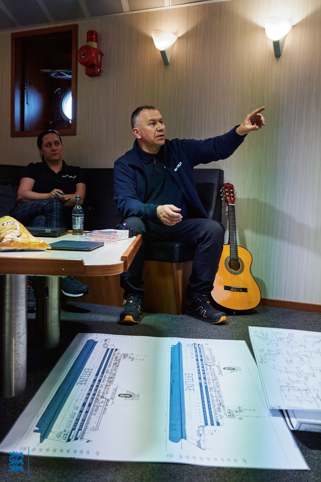
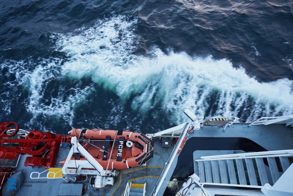
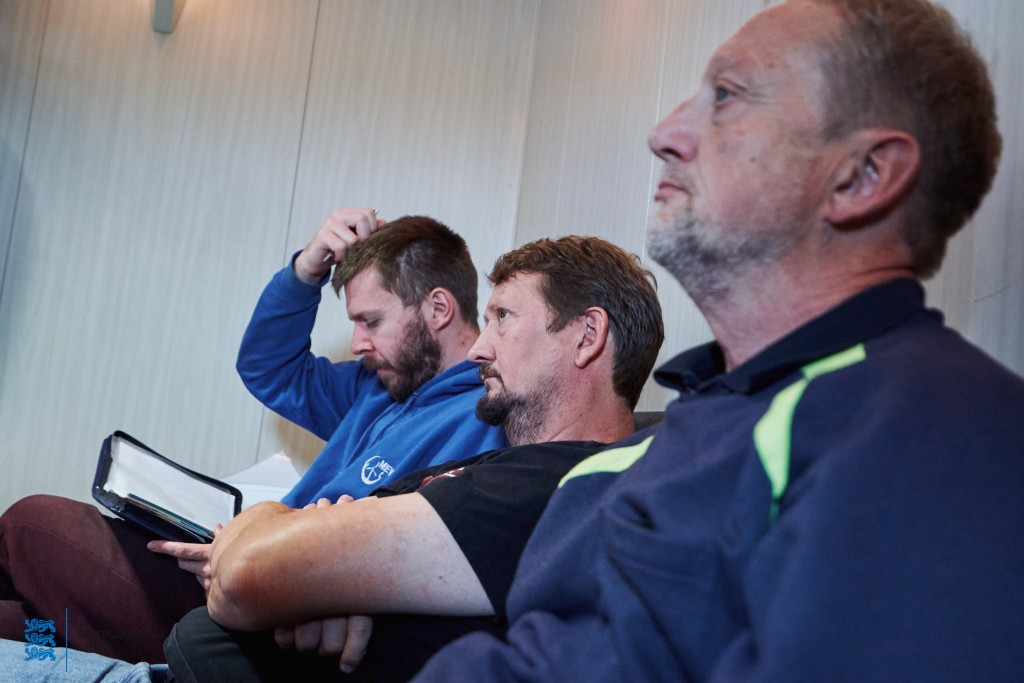
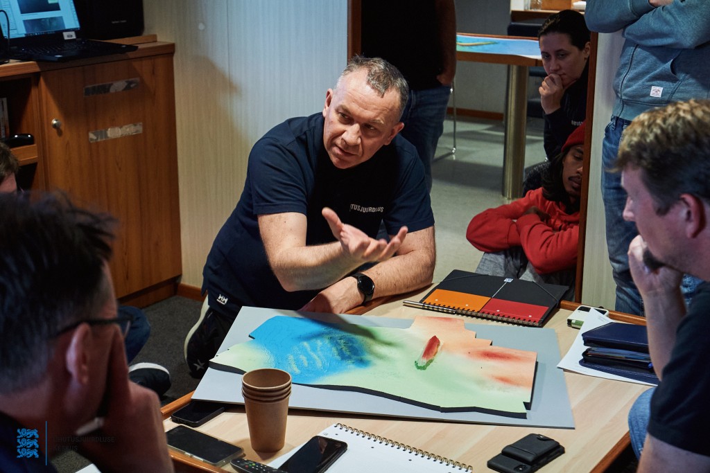
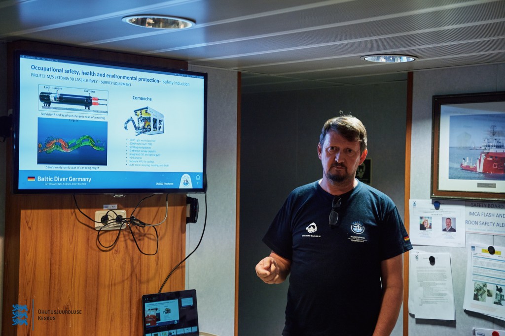
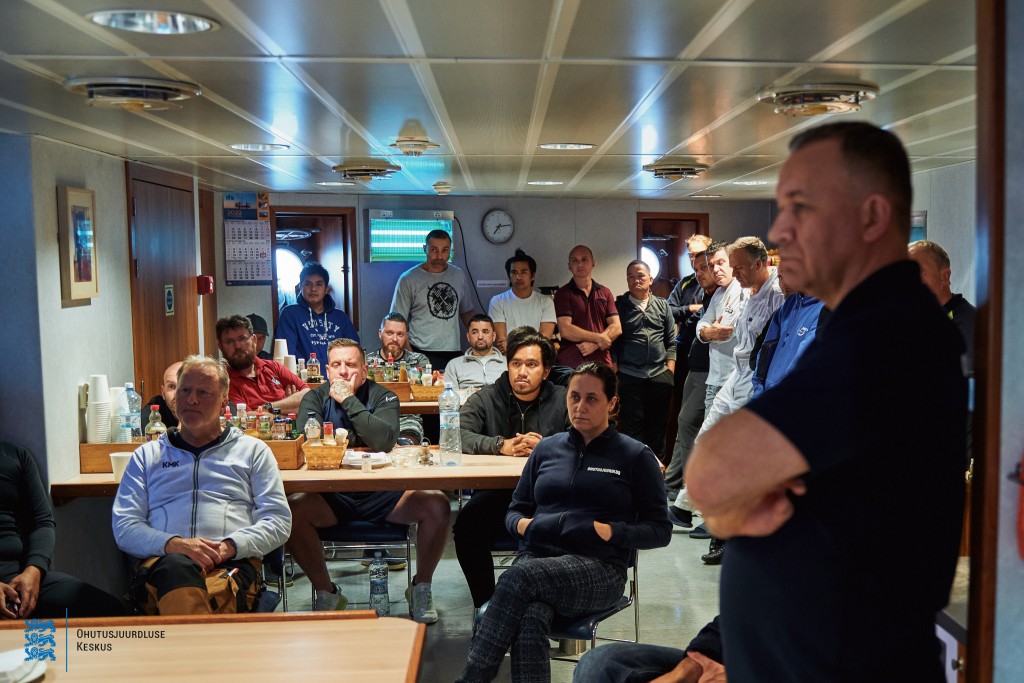
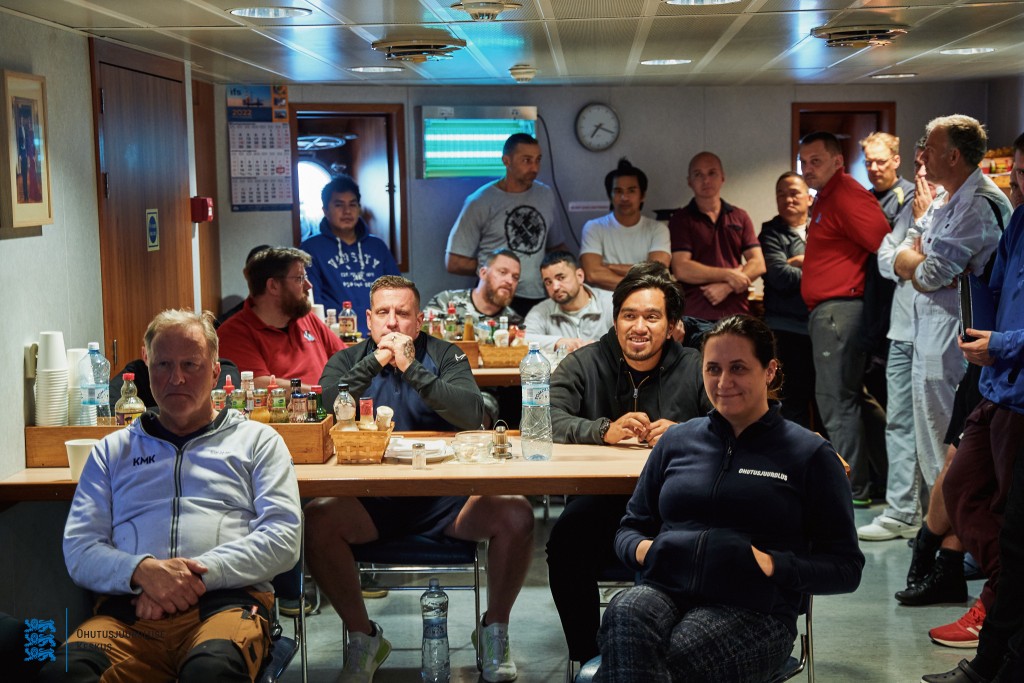
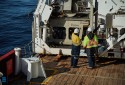
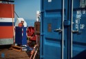
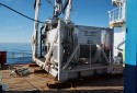
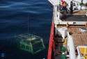
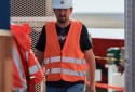
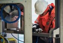
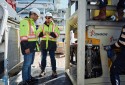
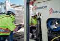
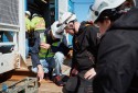
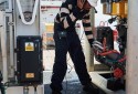
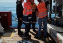
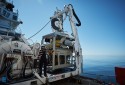
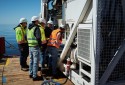
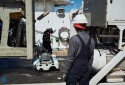
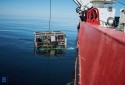
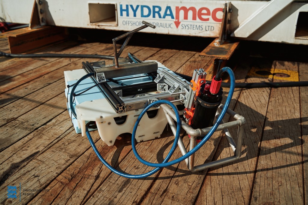
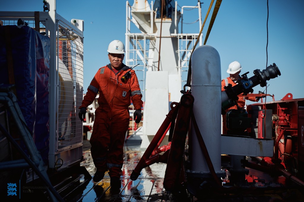
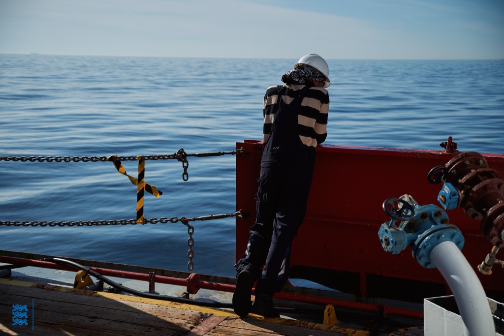
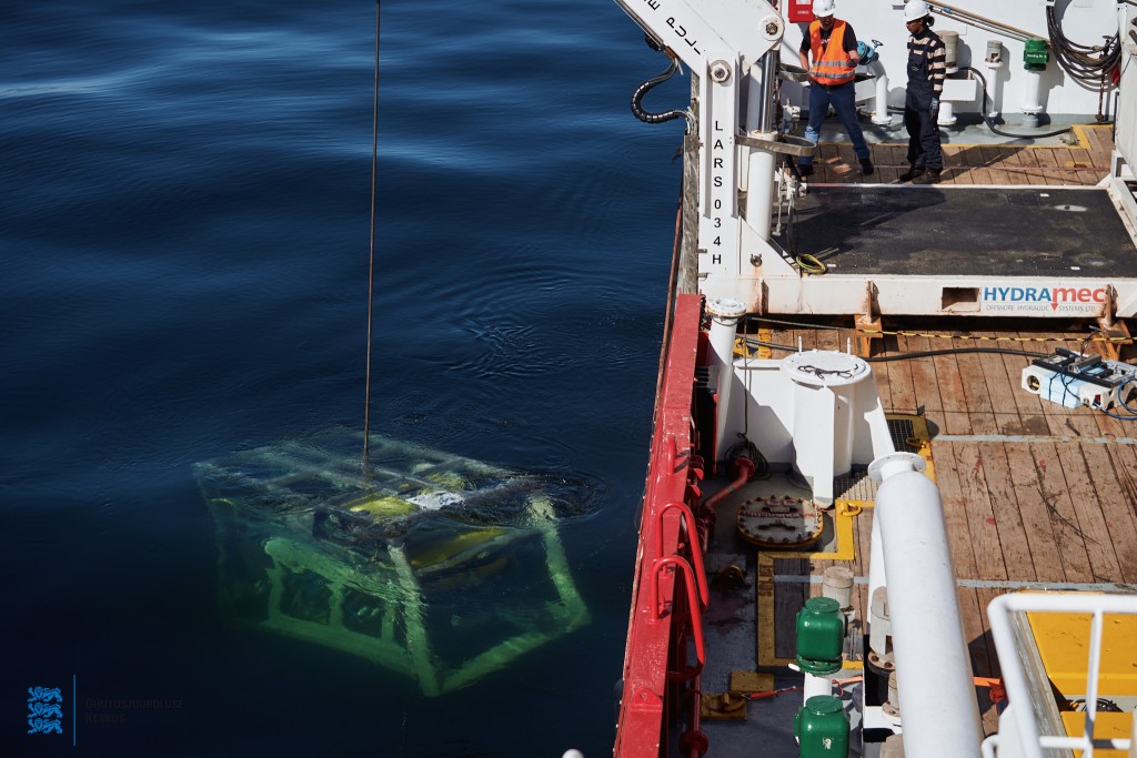
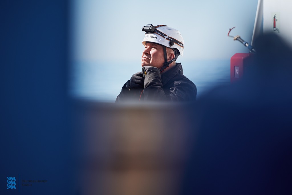
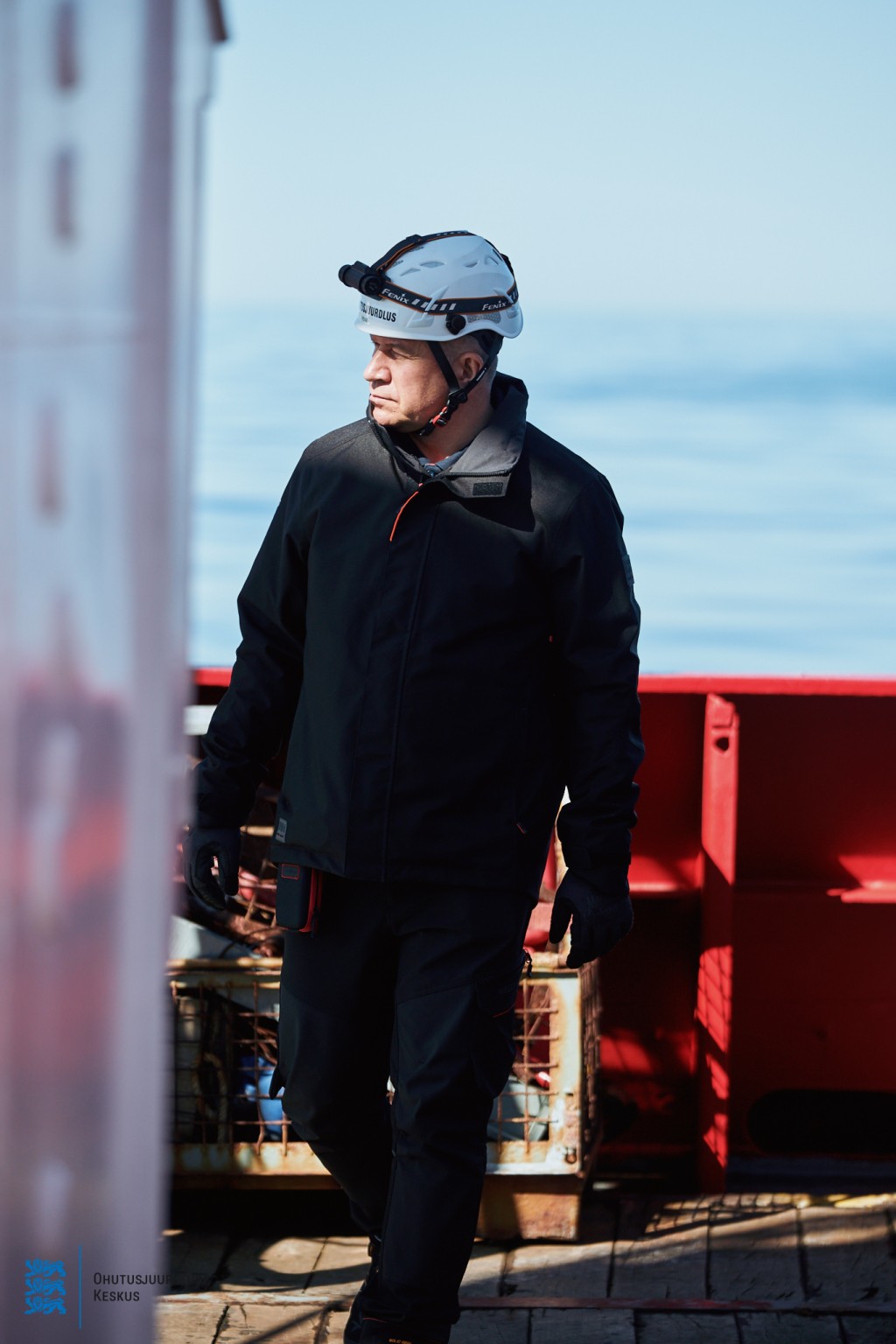
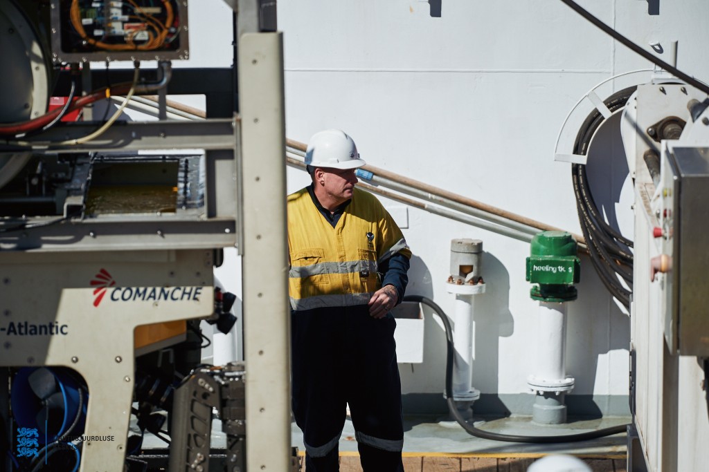
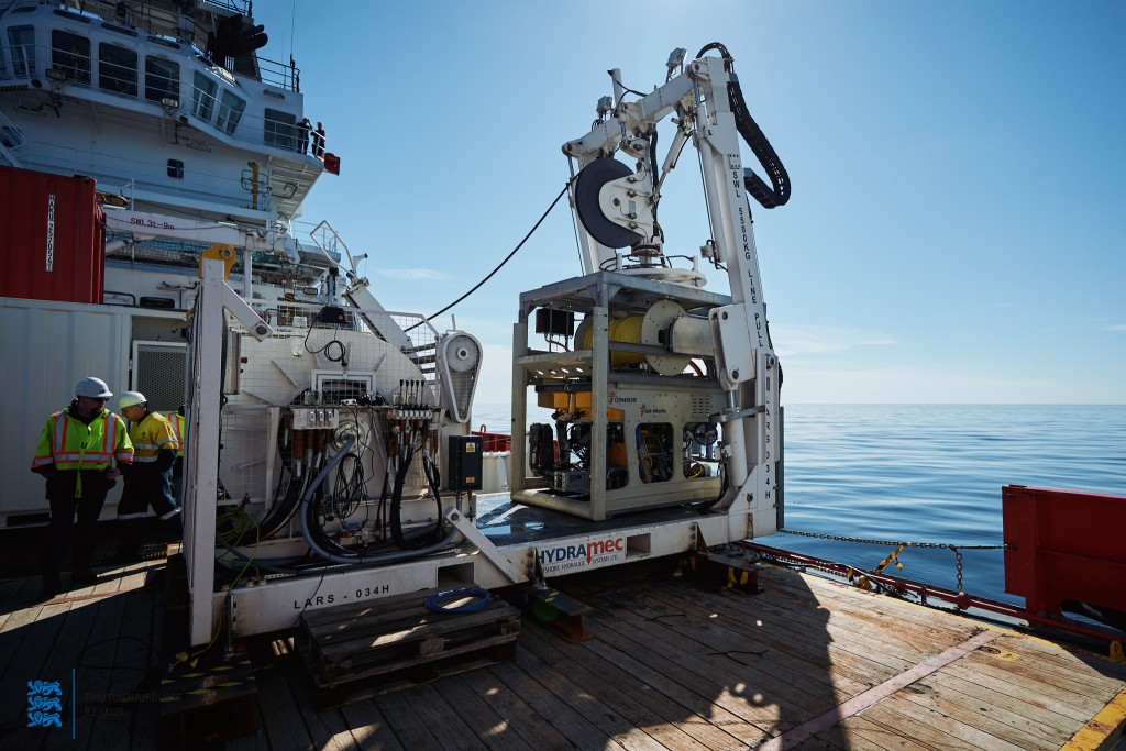
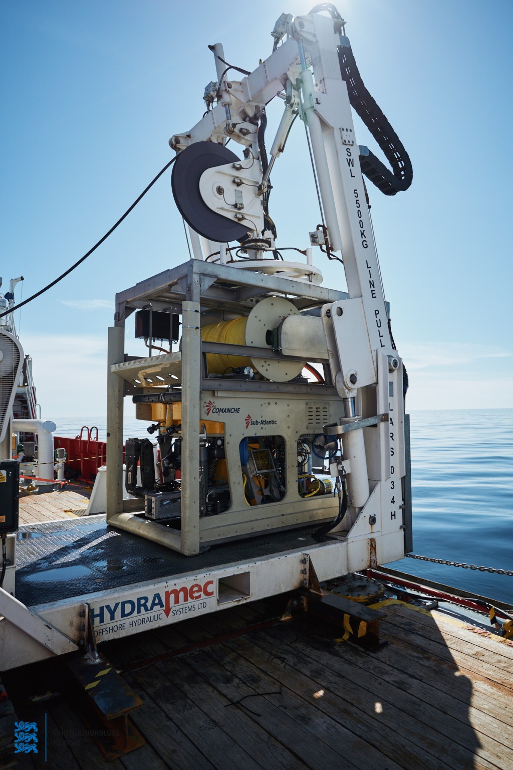
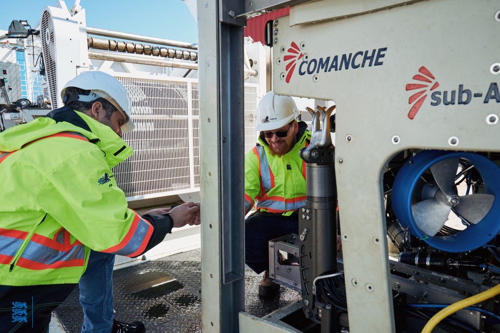
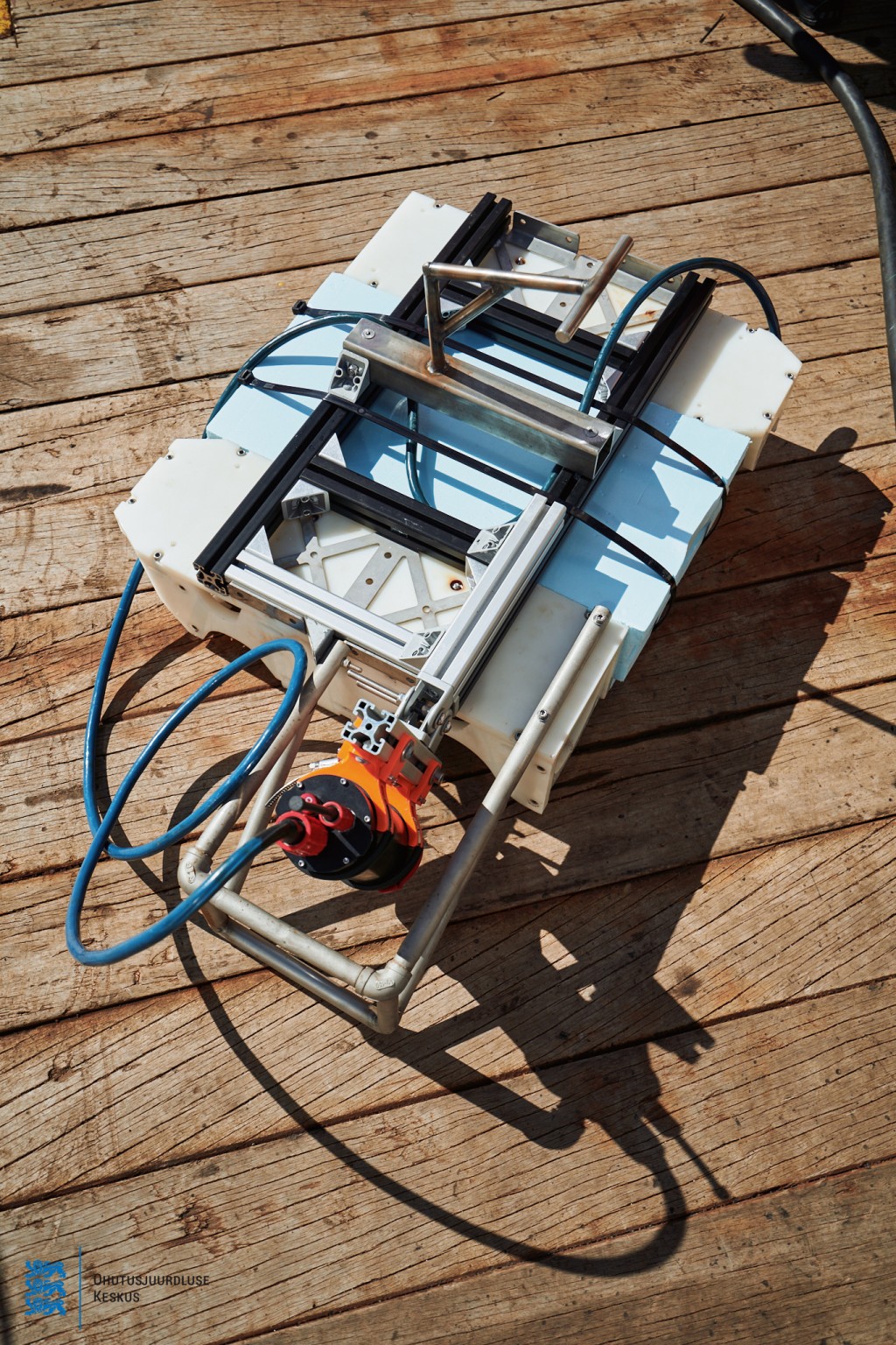
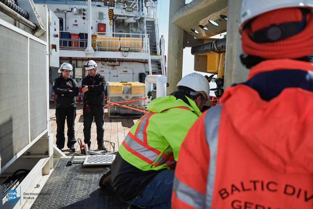
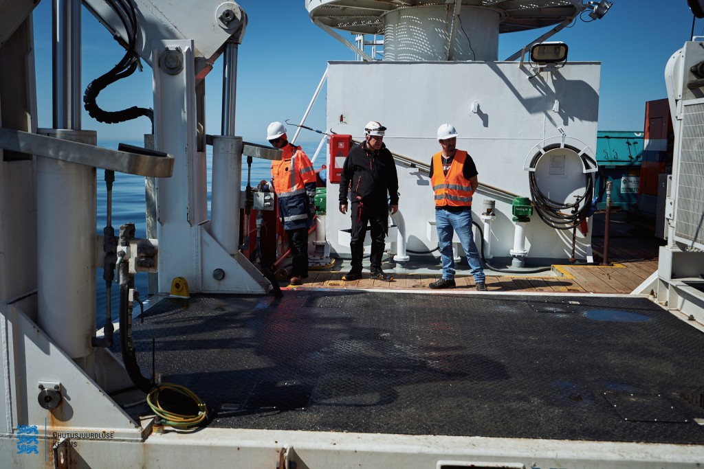
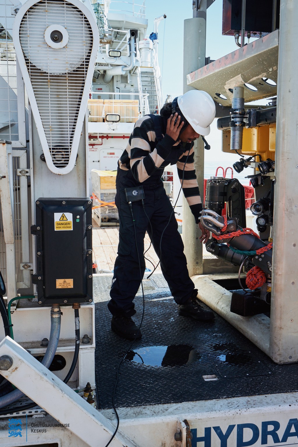
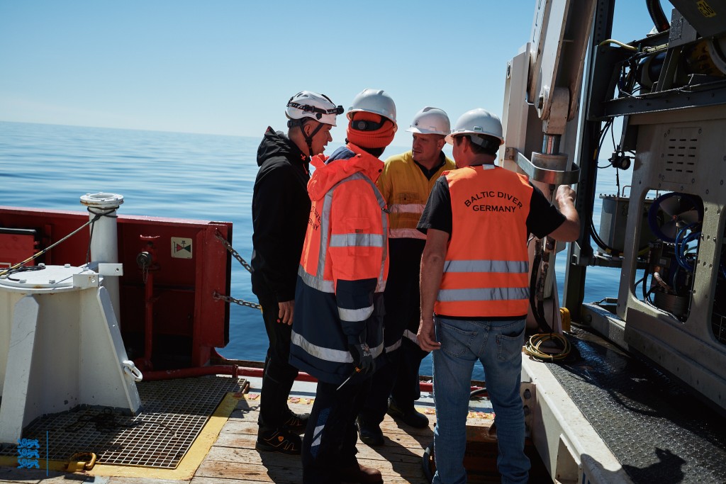
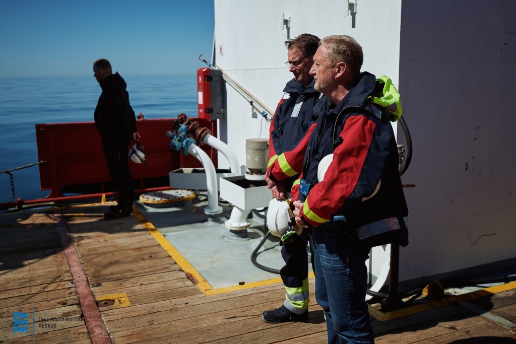
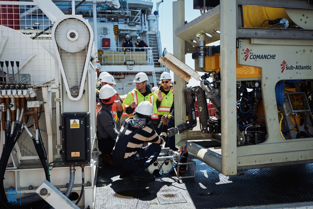
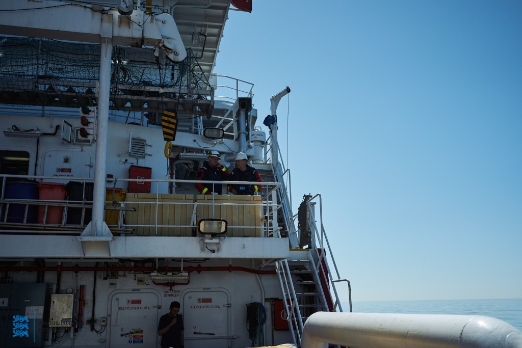
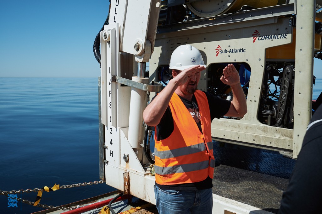
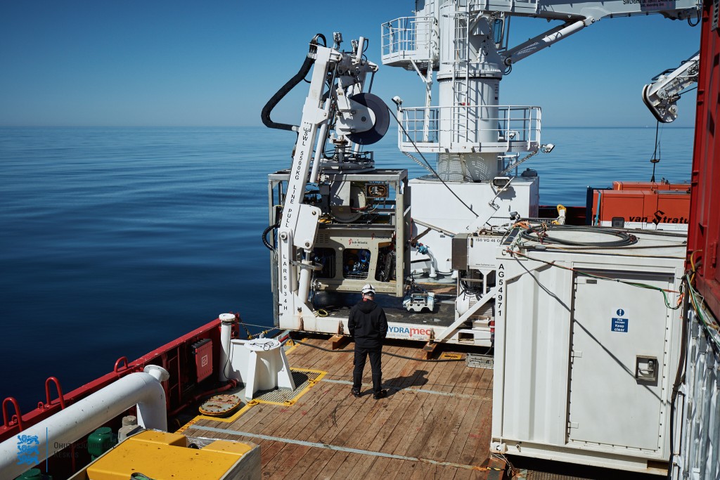
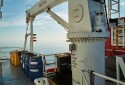
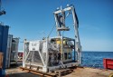
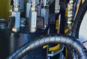
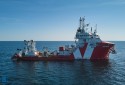
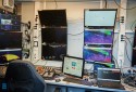
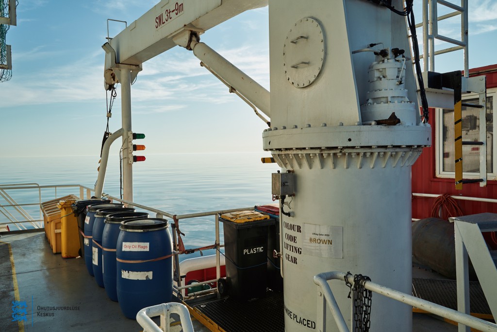
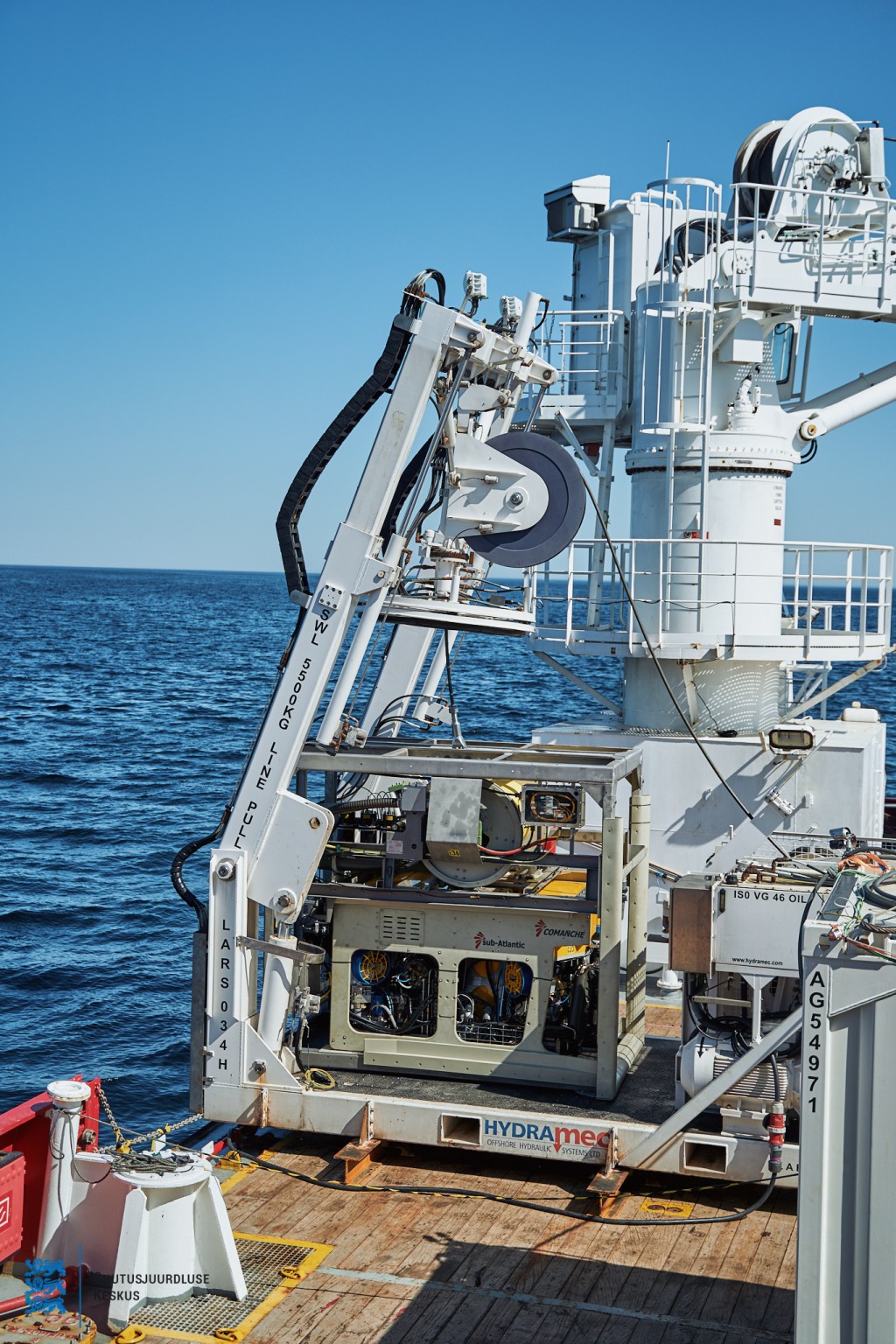
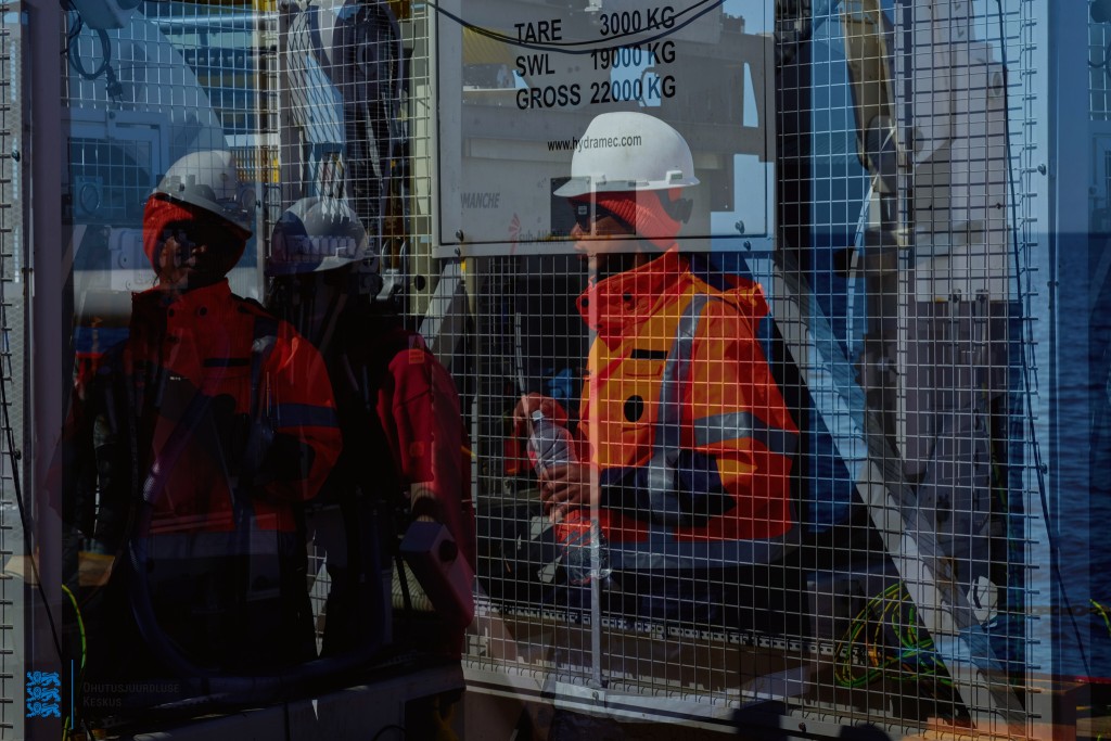
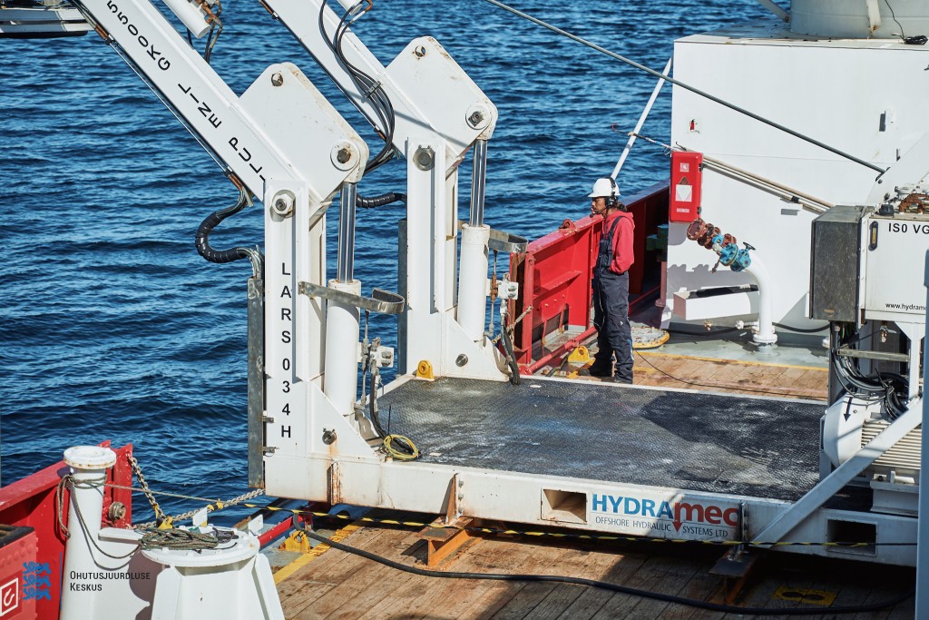
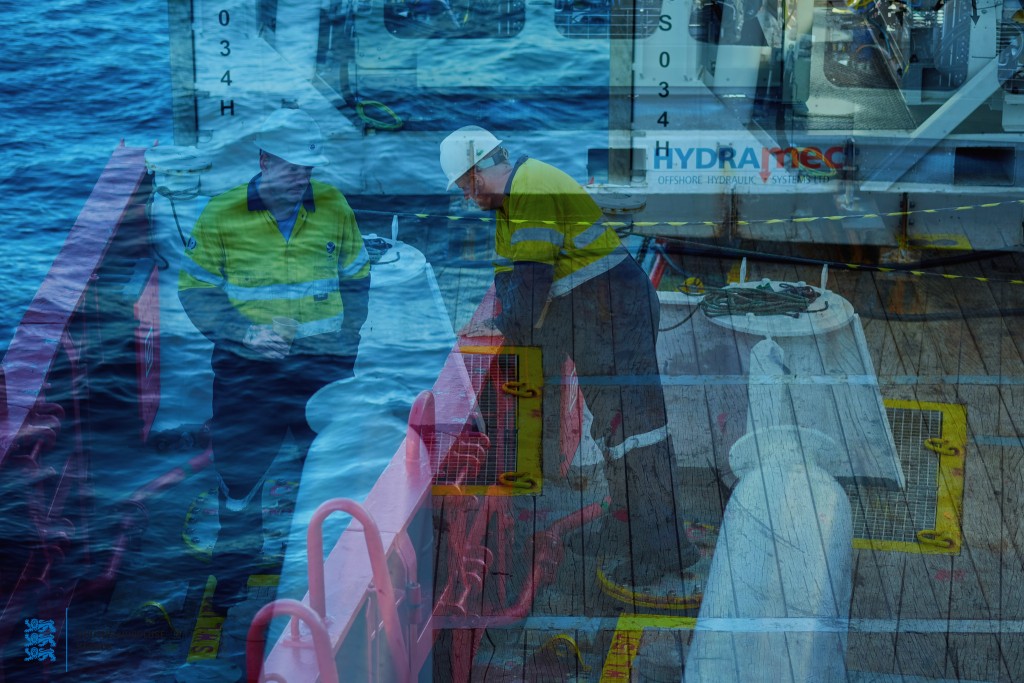
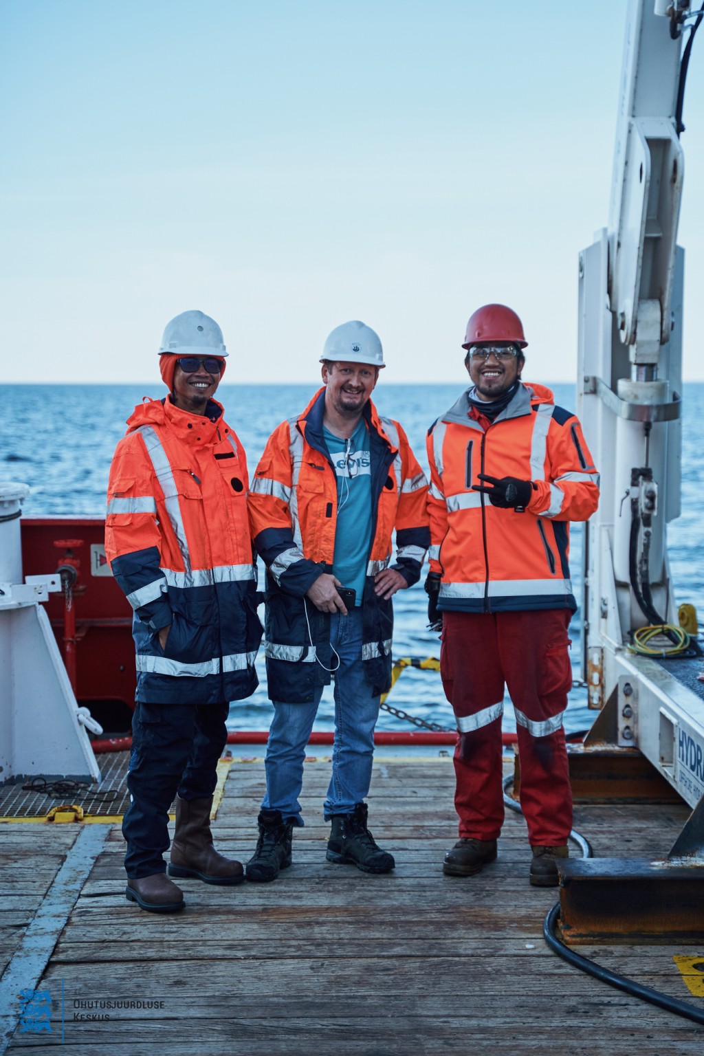
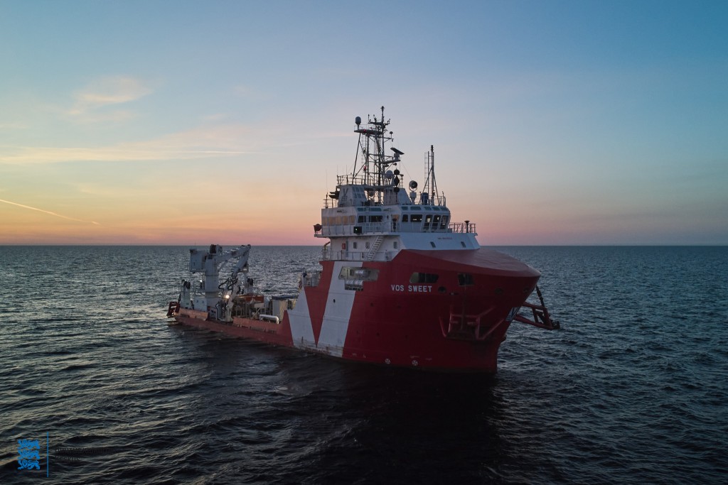
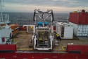
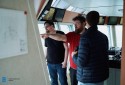
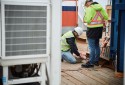
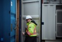
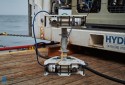
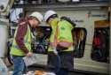
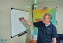
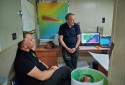
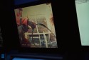
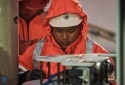
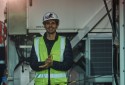
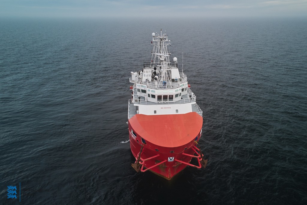
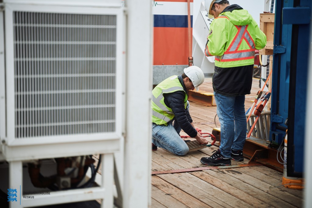
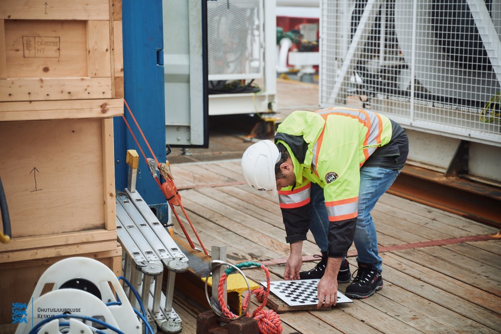
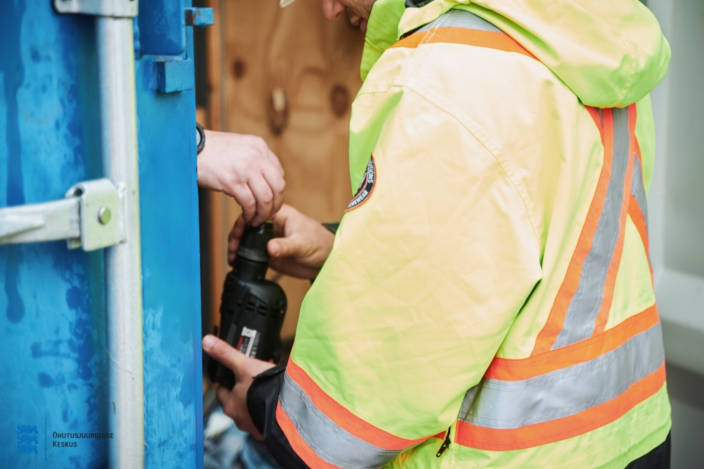
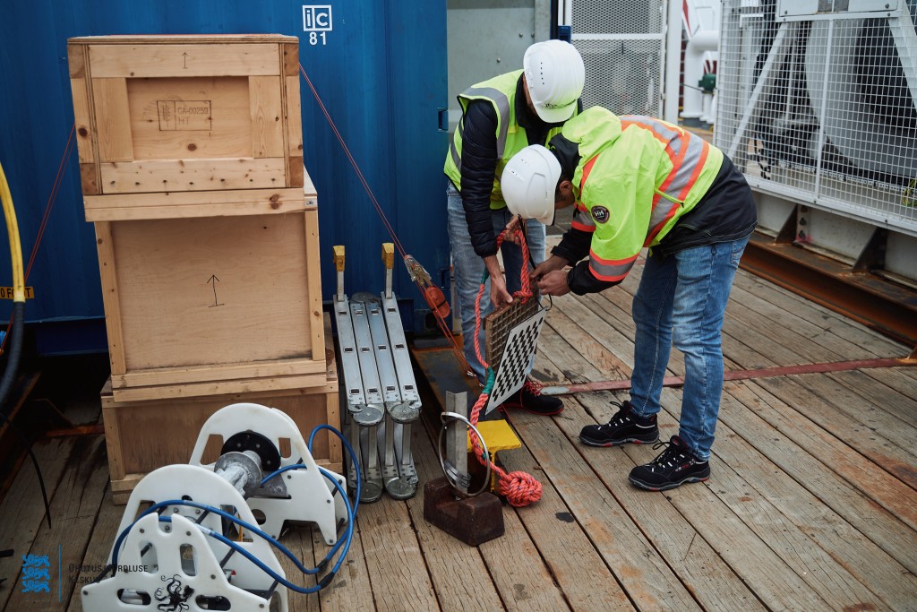
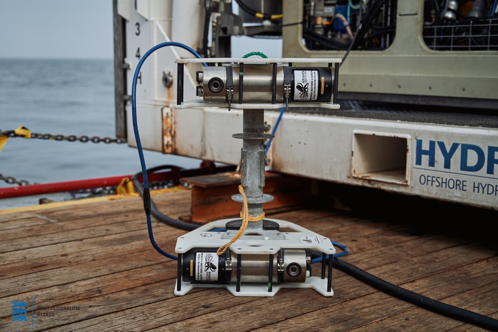
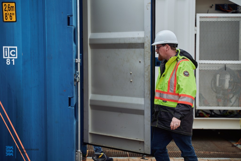
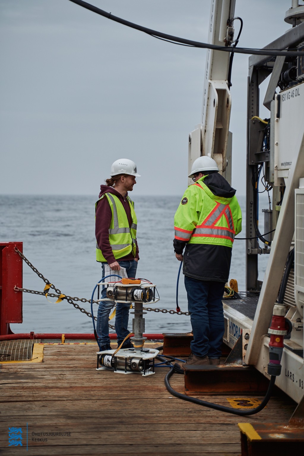
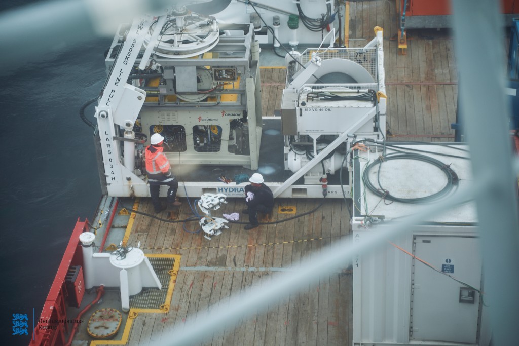
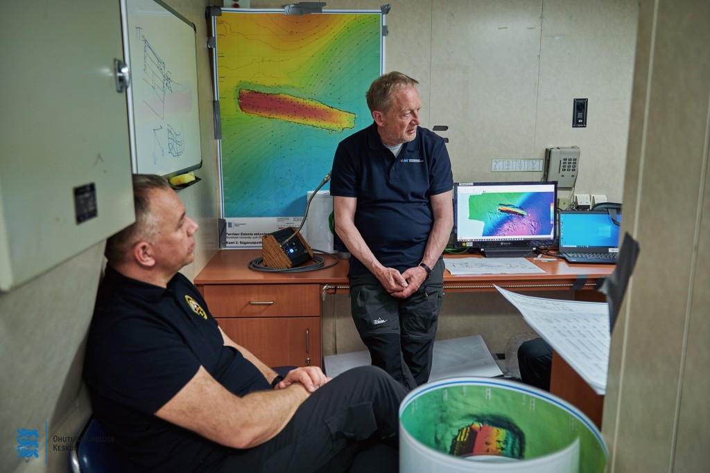
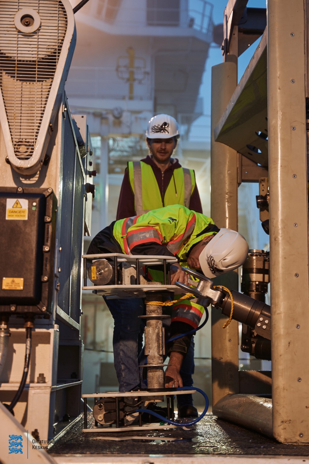
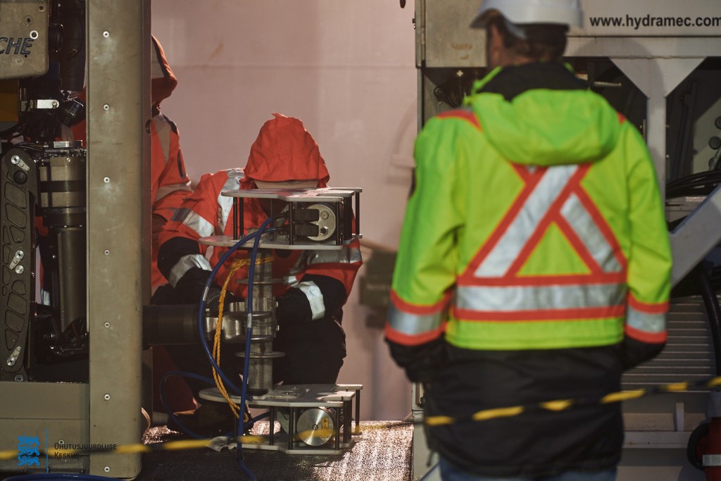
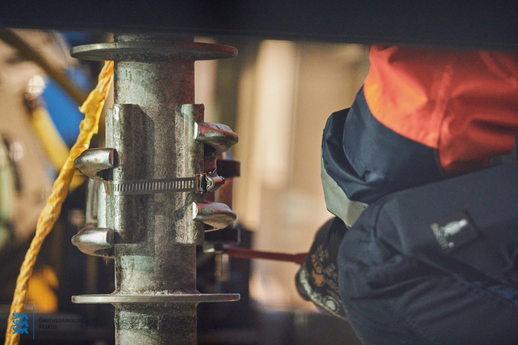
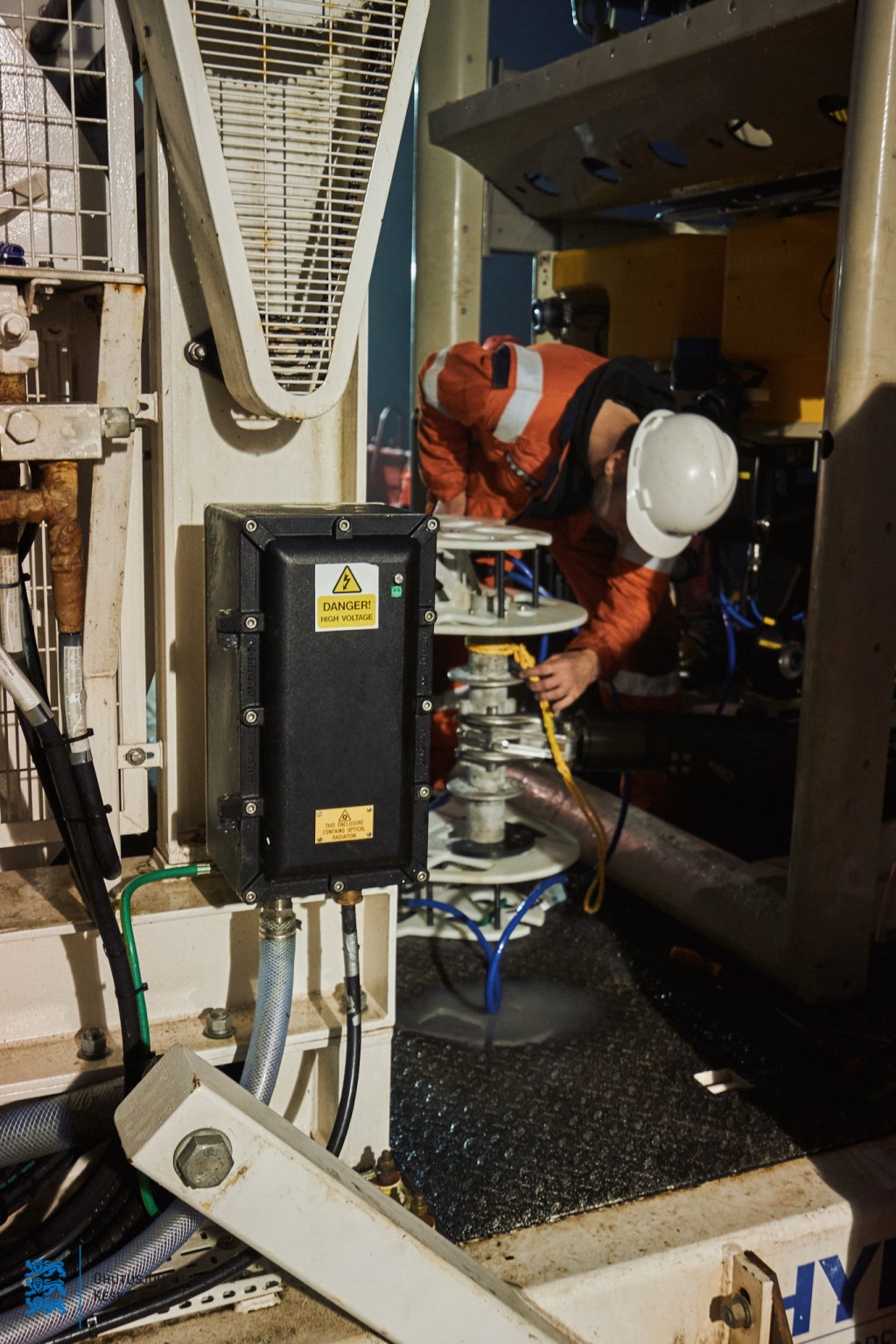
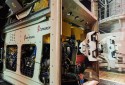
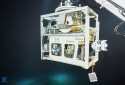
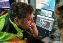
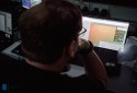
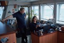
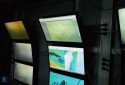
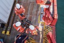
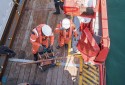
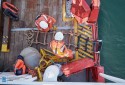
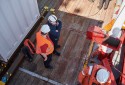
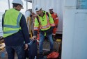
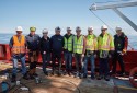
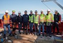
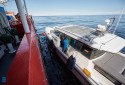
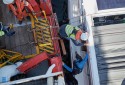
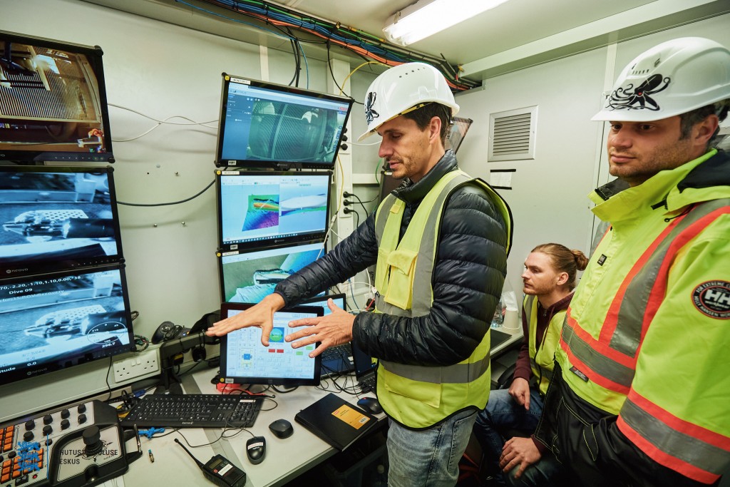
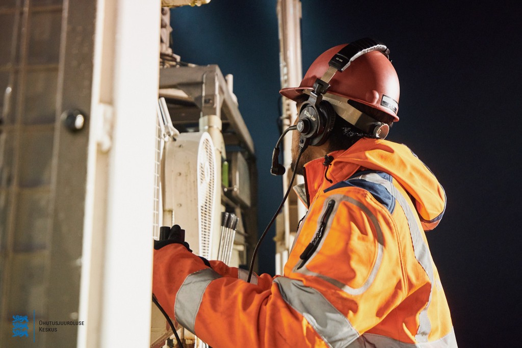
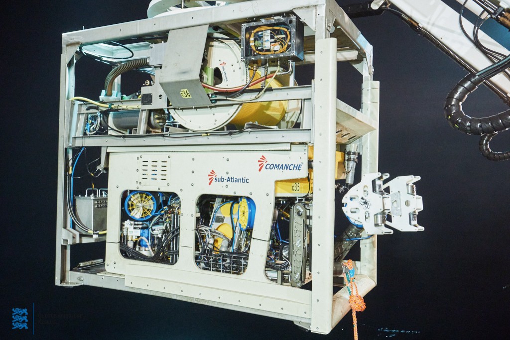
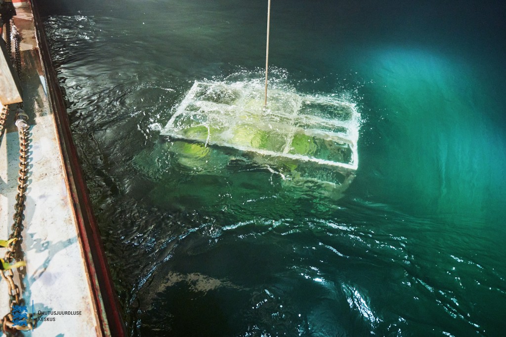
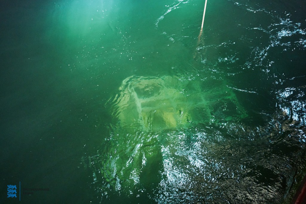
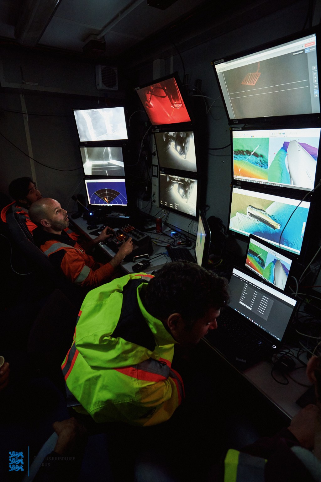
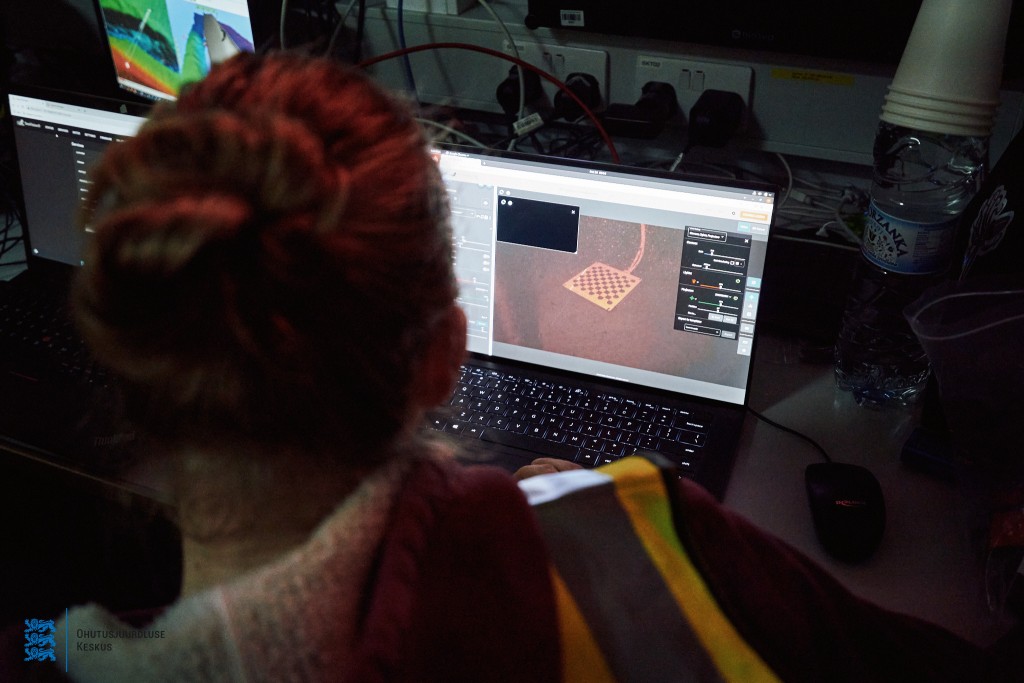
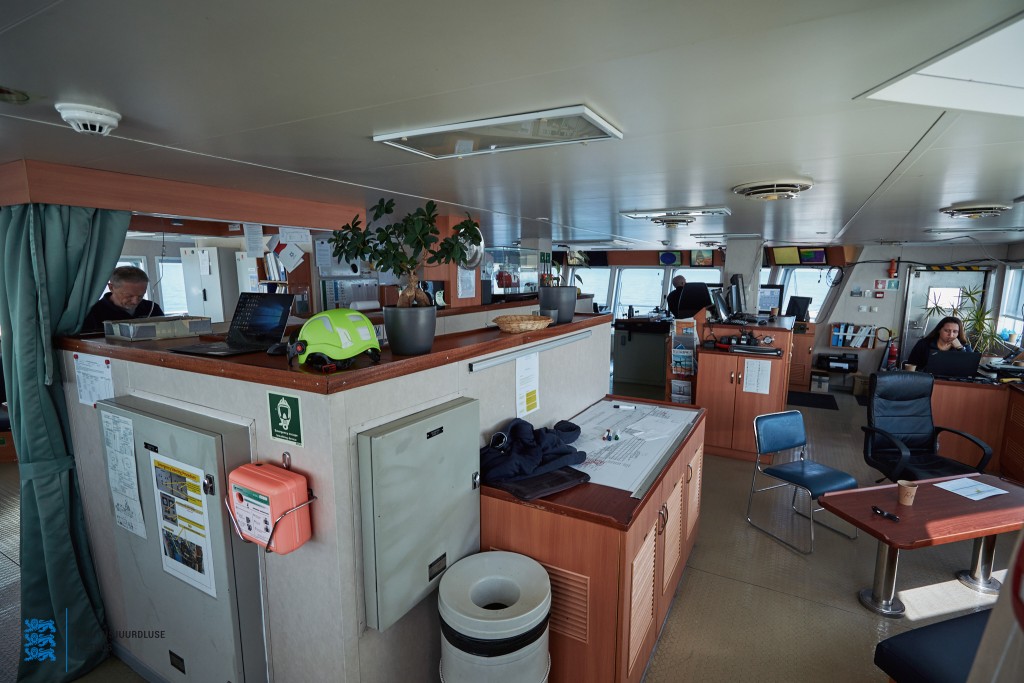
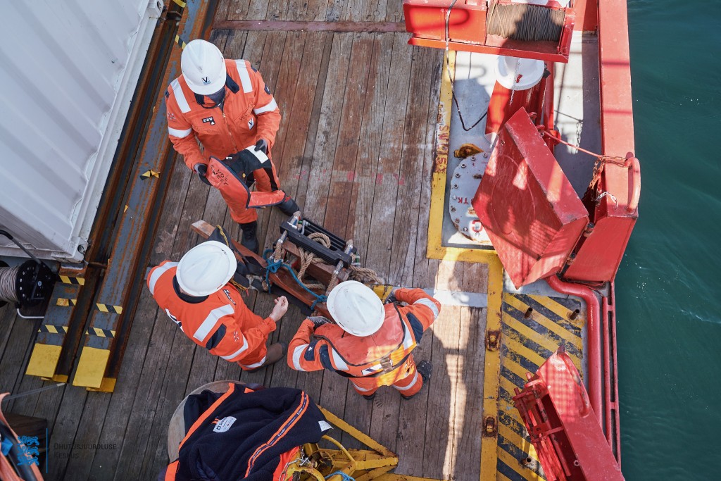
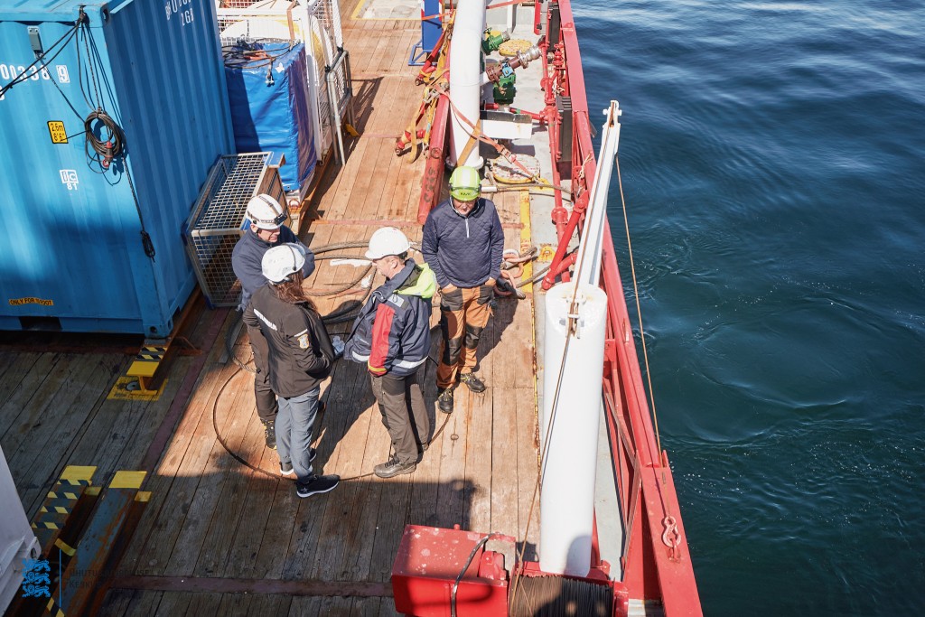
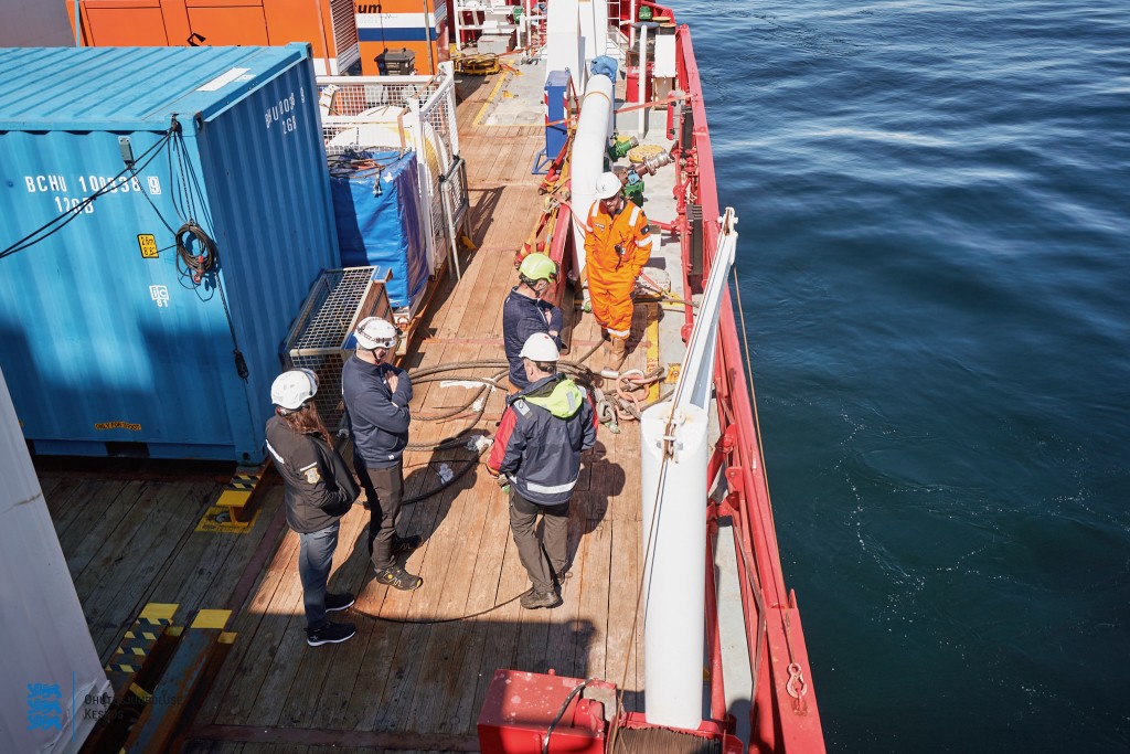
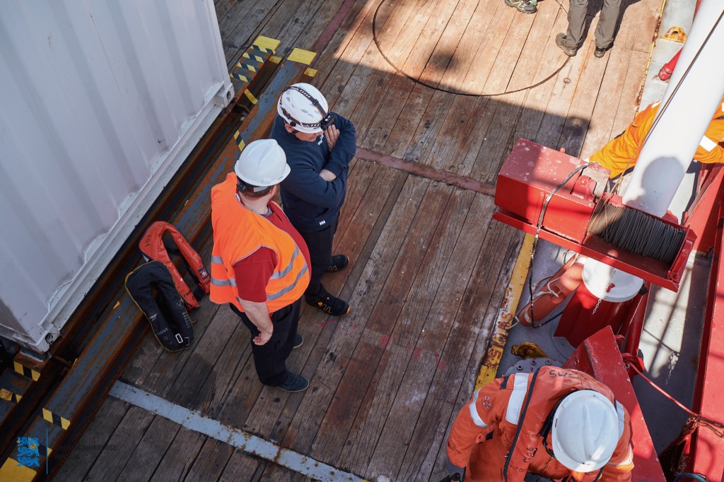
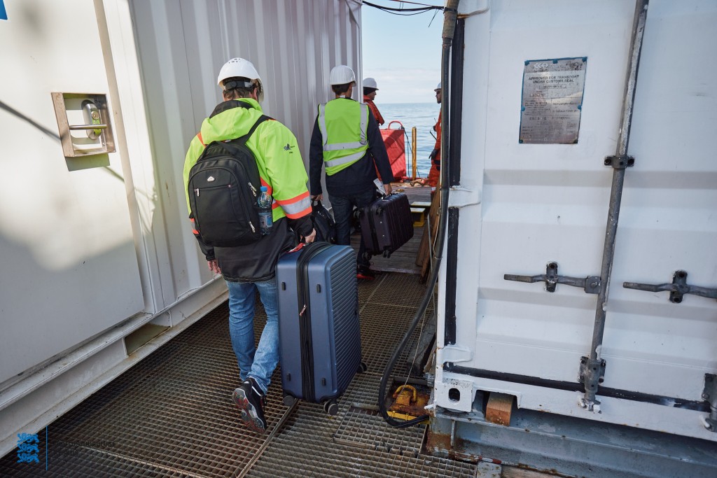
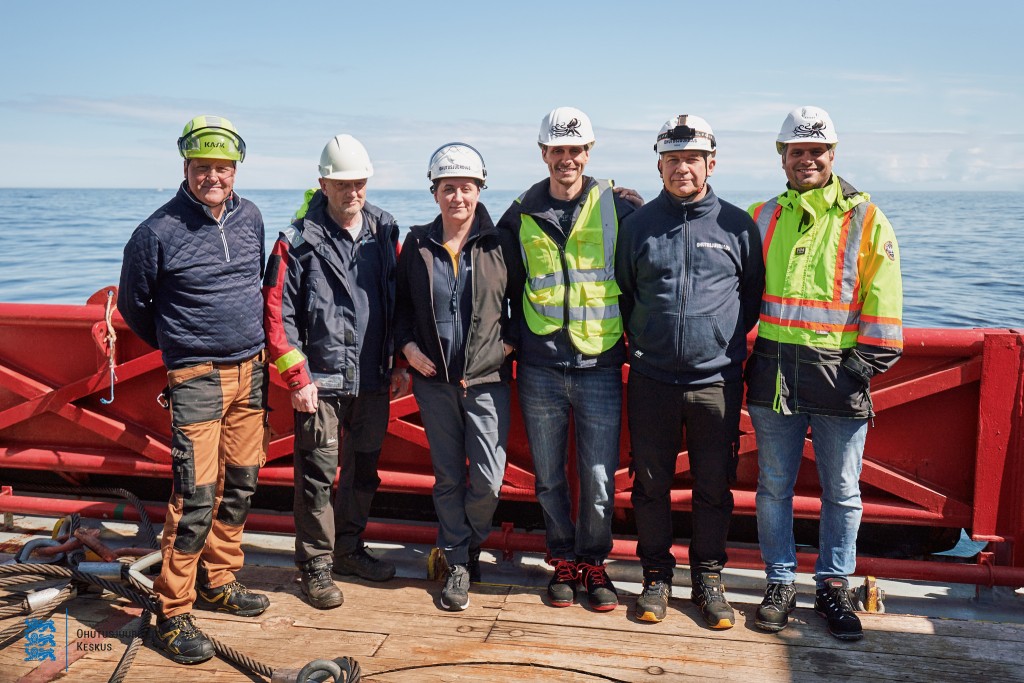
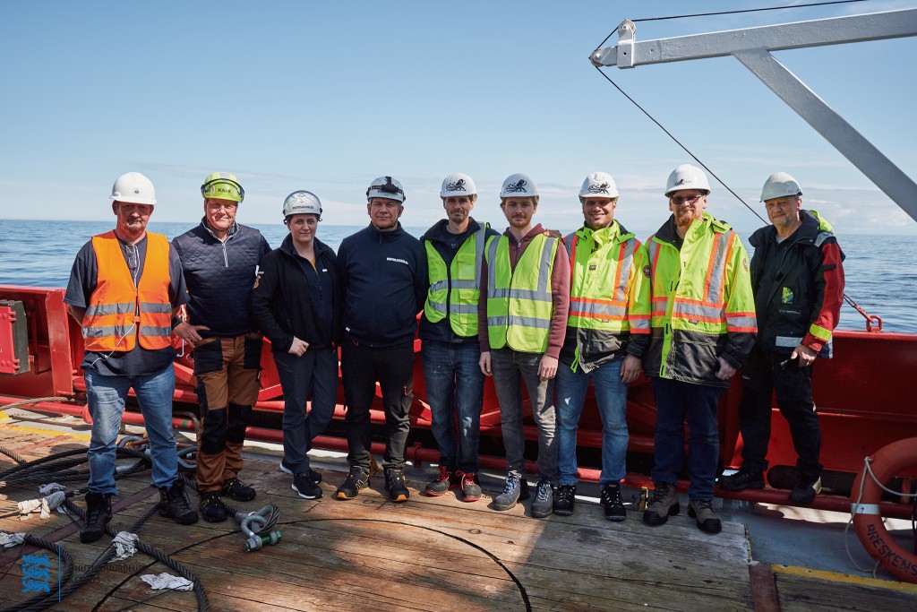
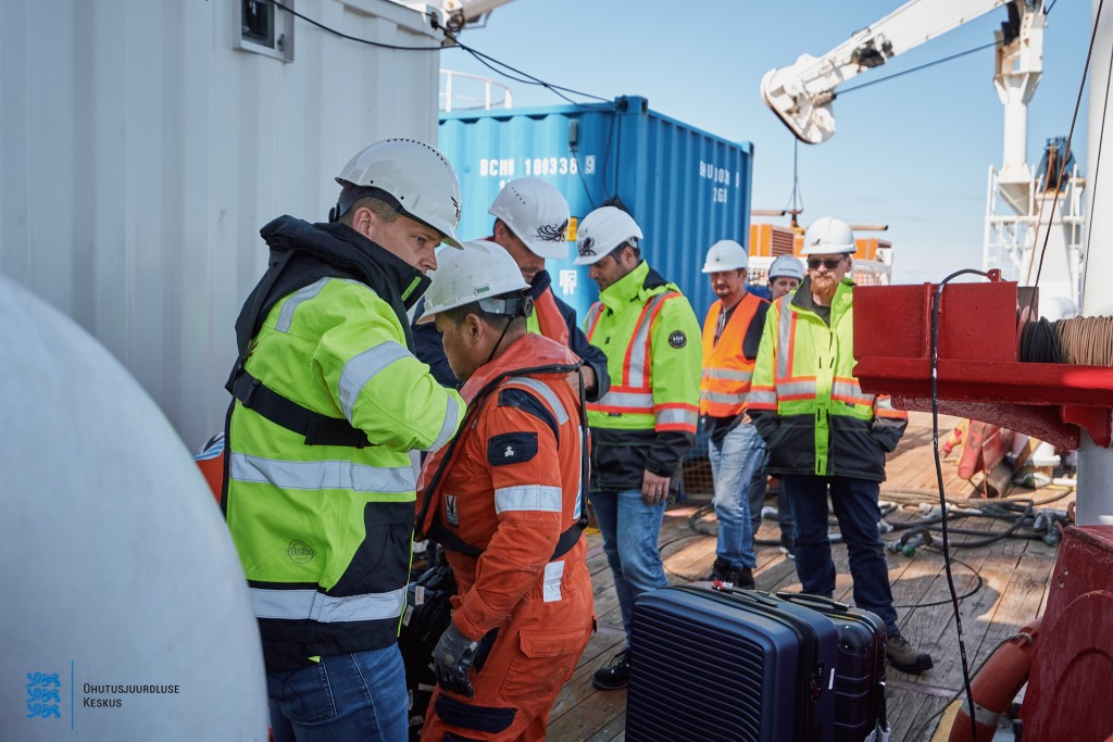
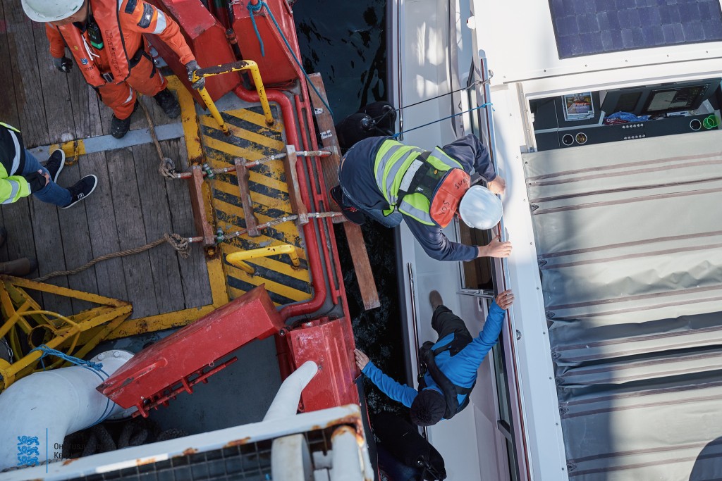
3D laser scanning preparations 22.05.2022 (Photographer Andi Kokk)
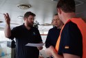
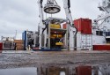


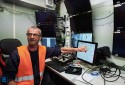
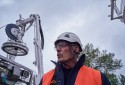

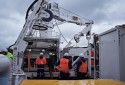
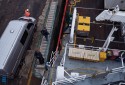


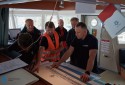

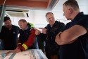


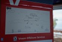
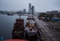


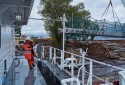
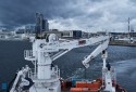


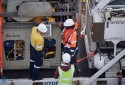

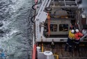

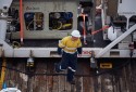

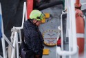
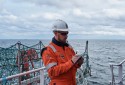

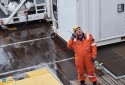
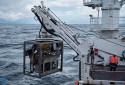

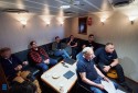


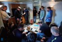


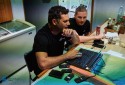


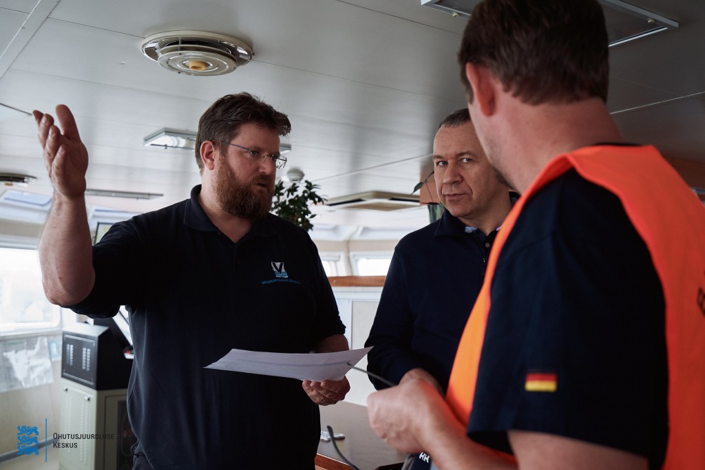
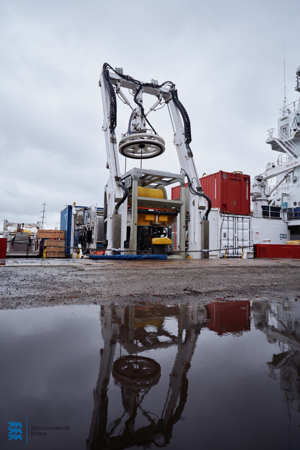
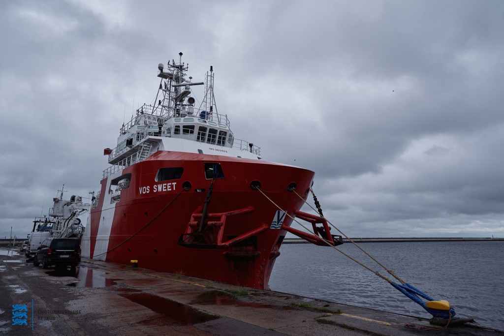
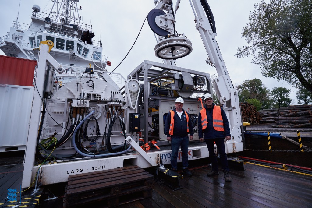

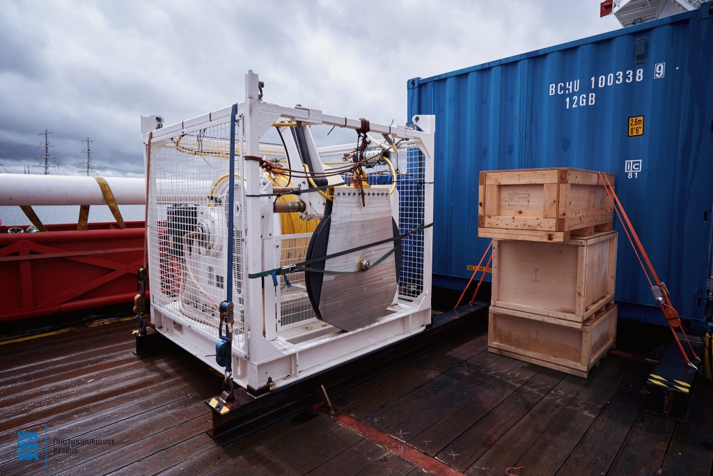

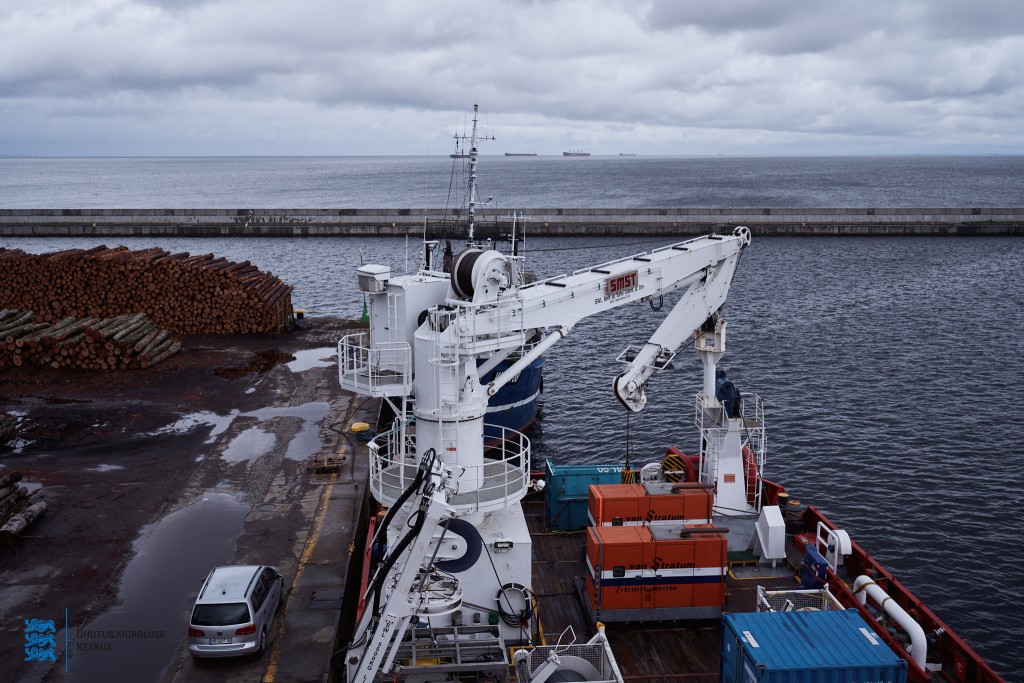
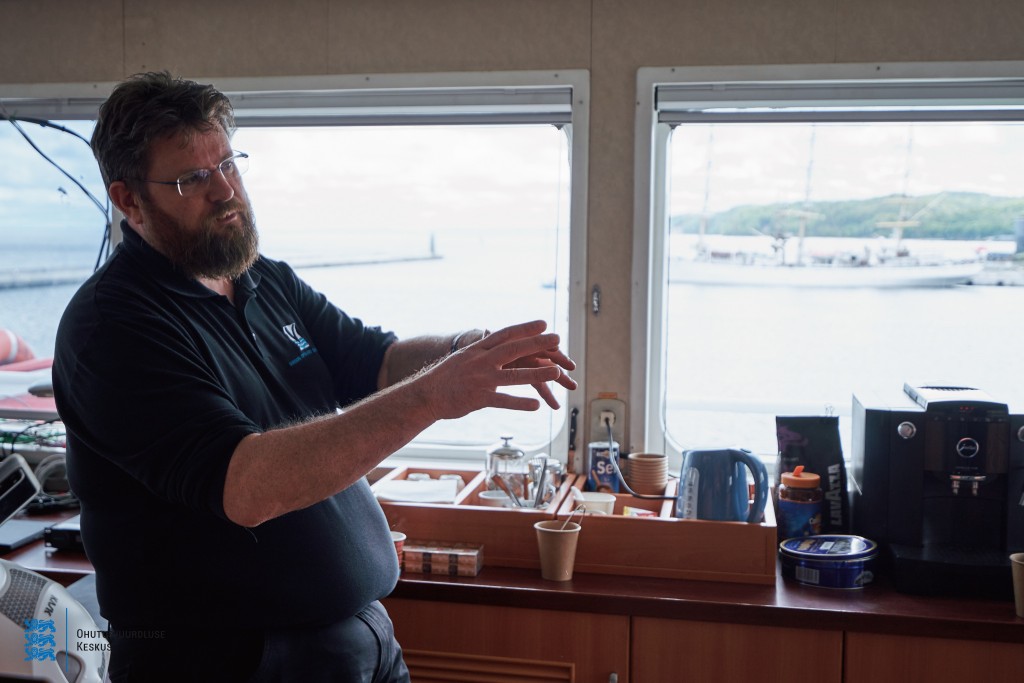
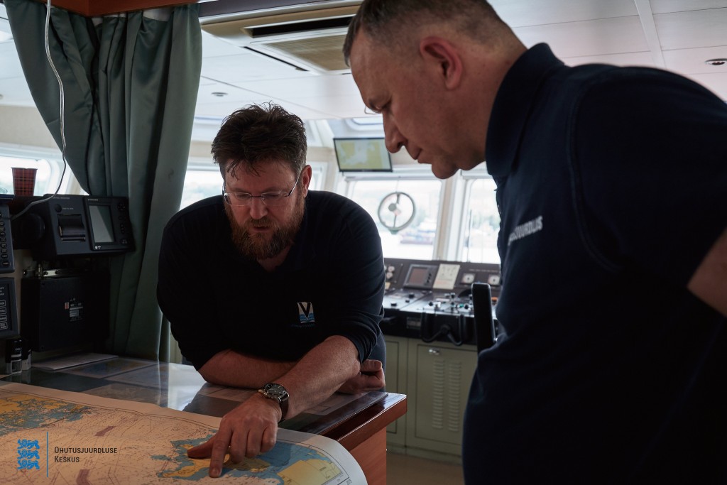
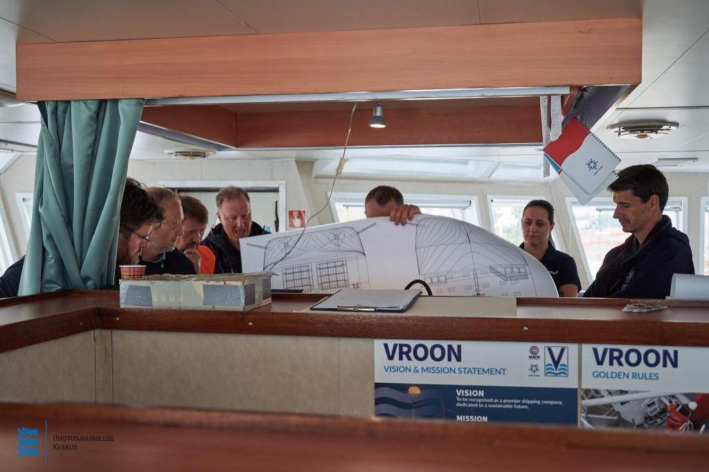

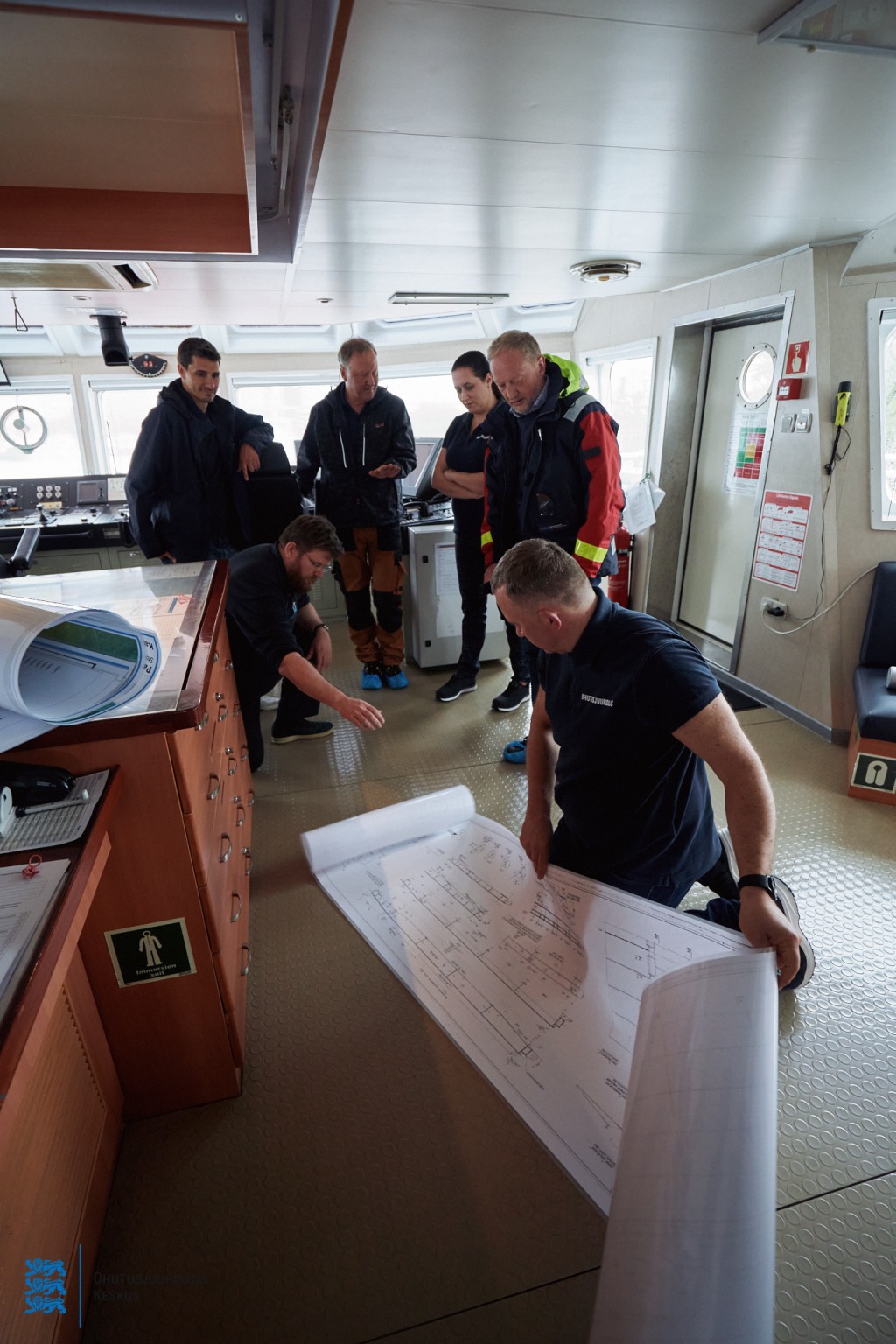

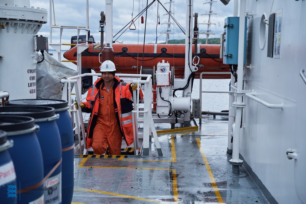

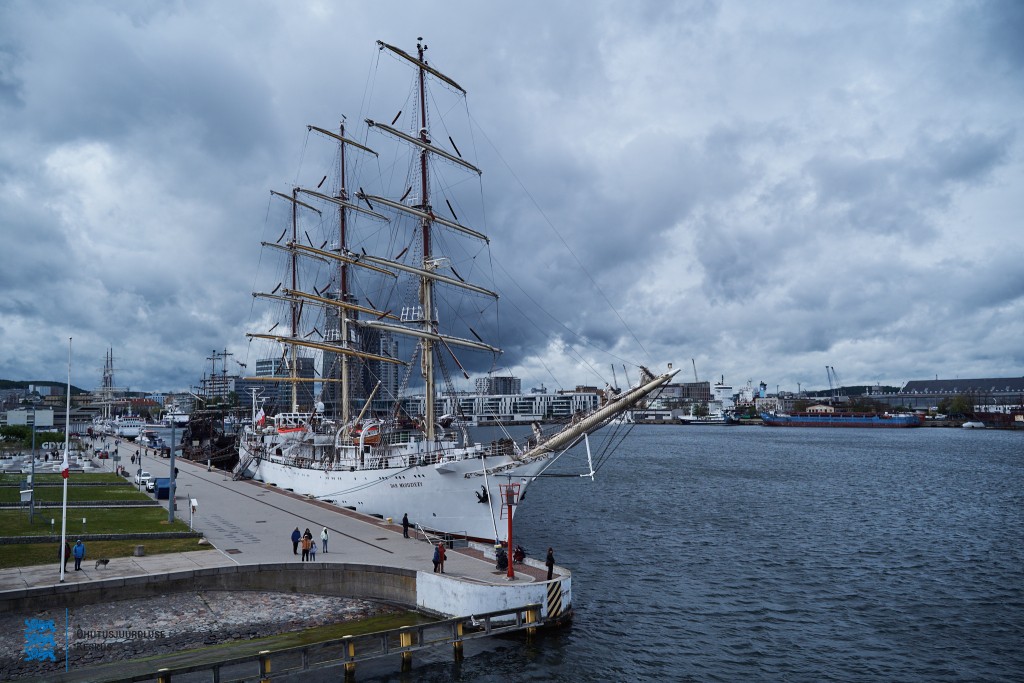
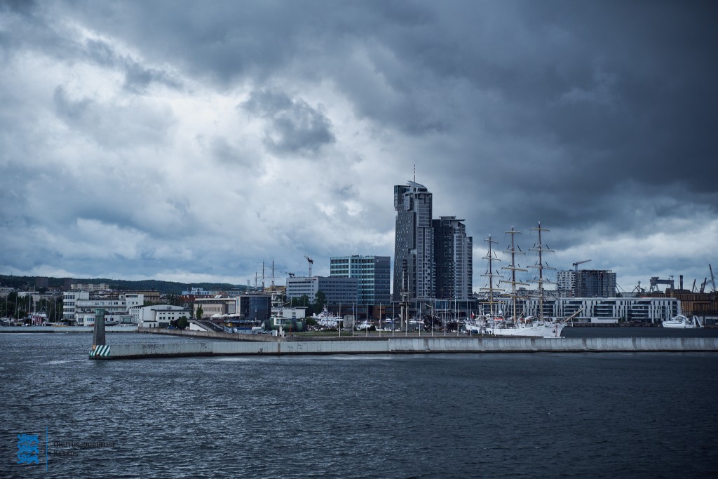
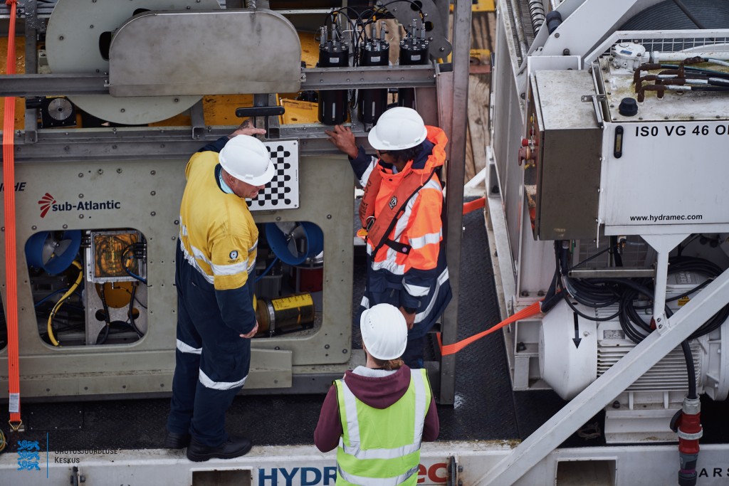
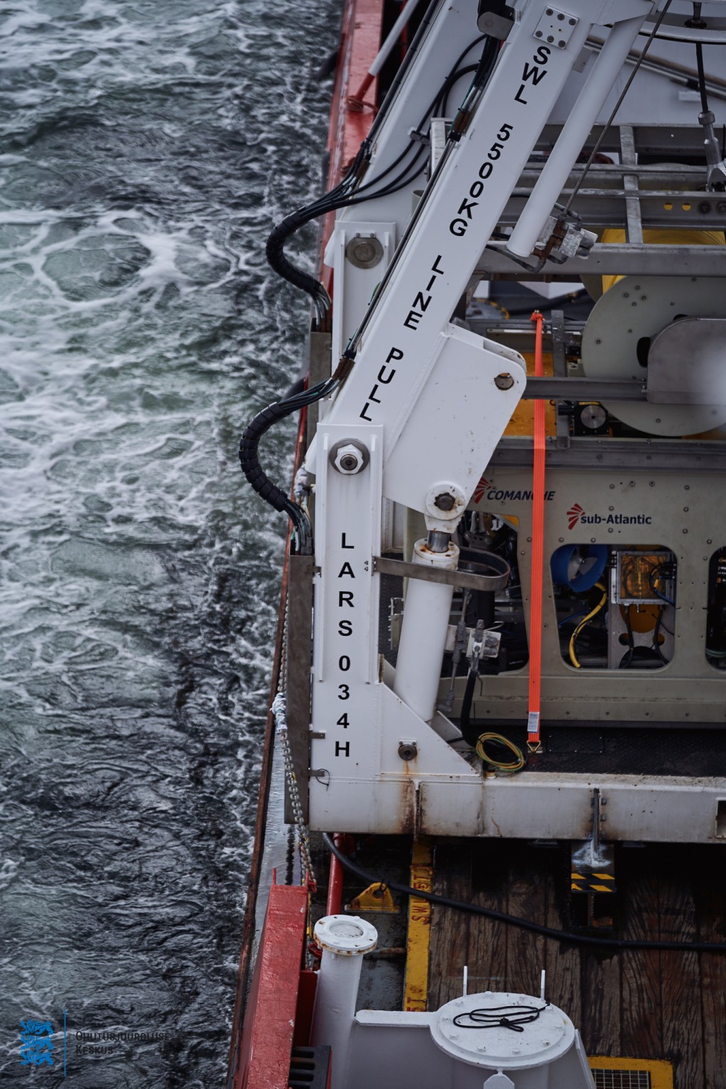
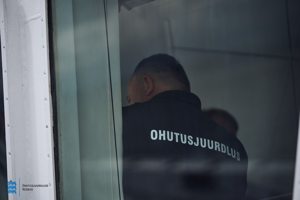
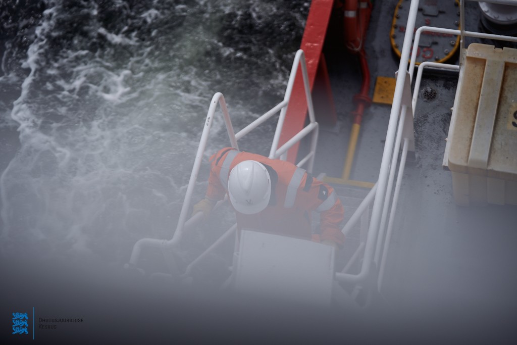
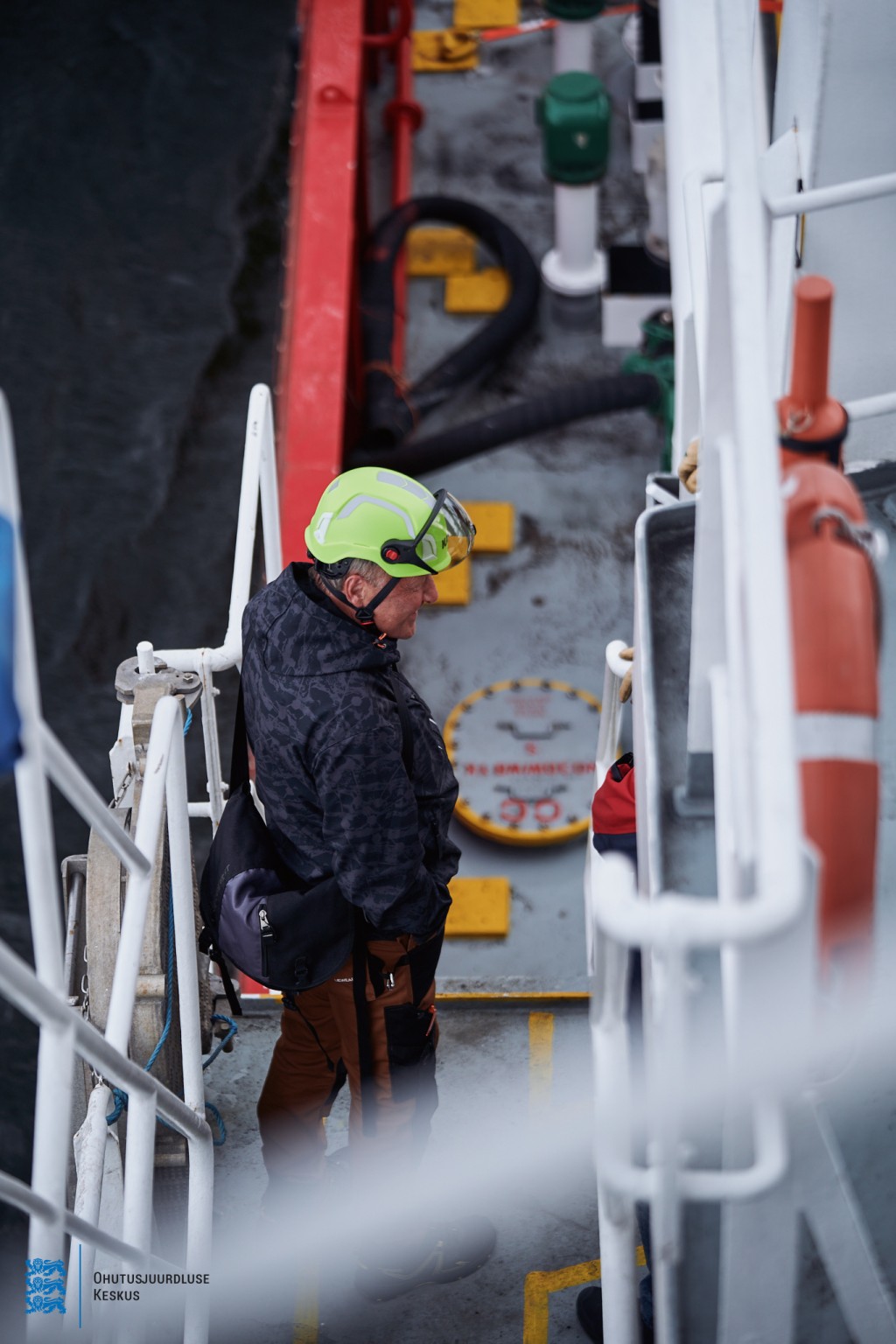
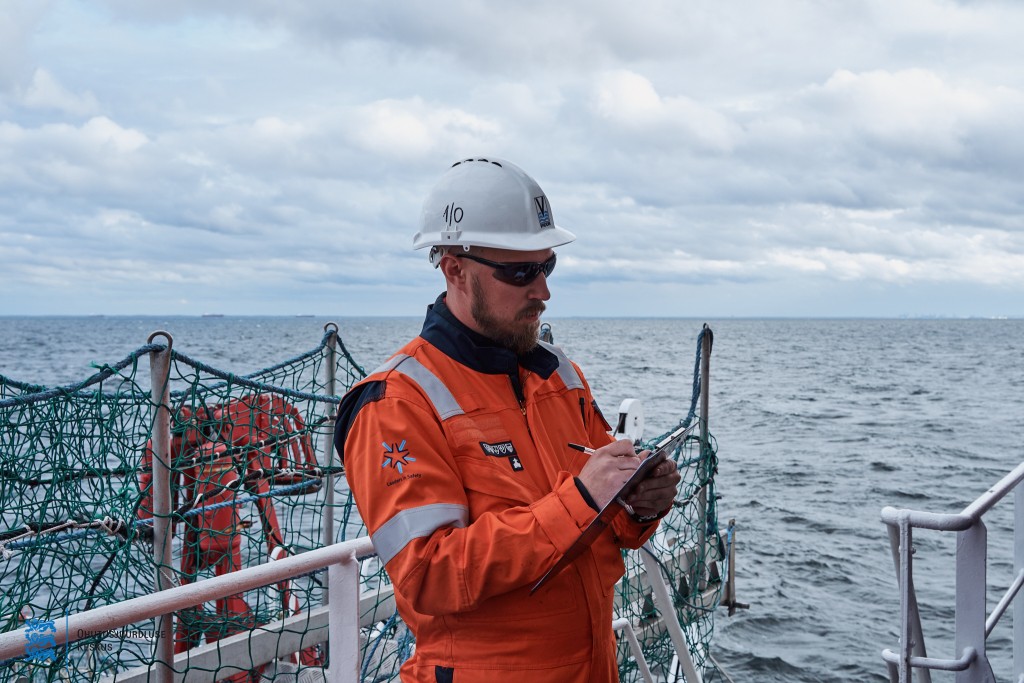
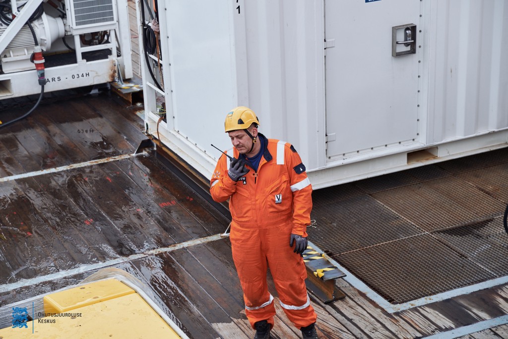
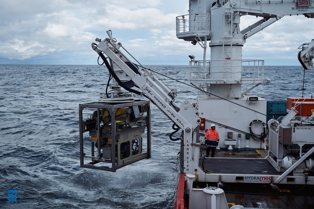

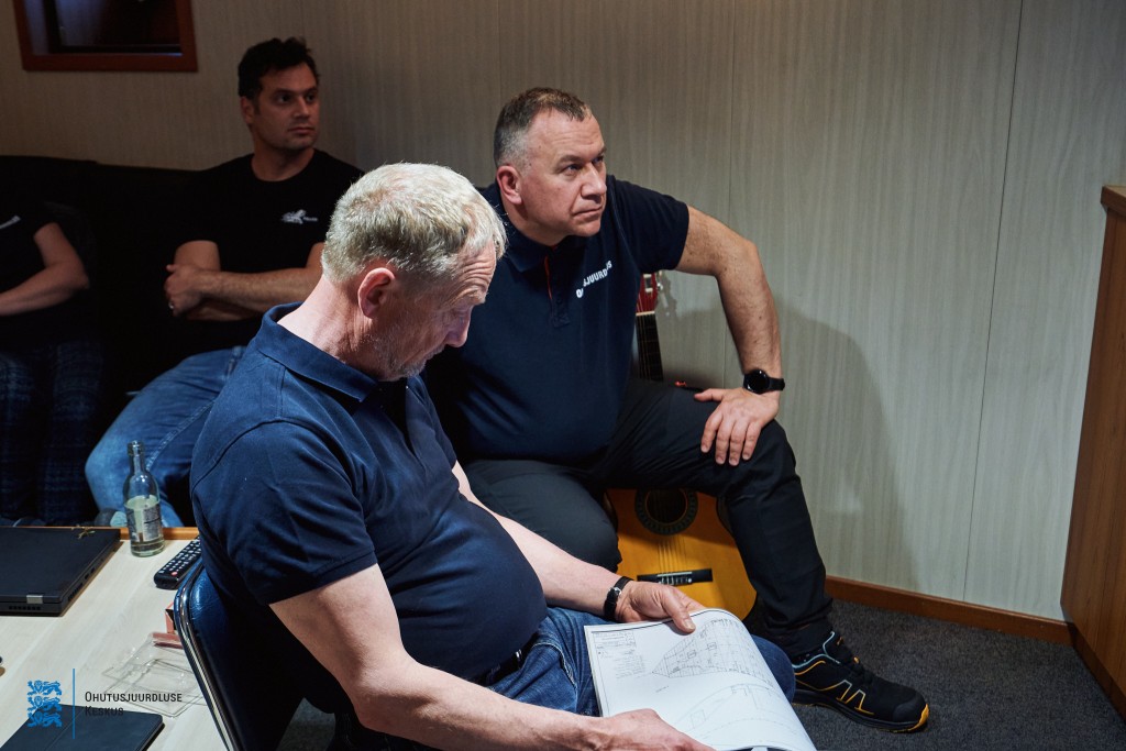

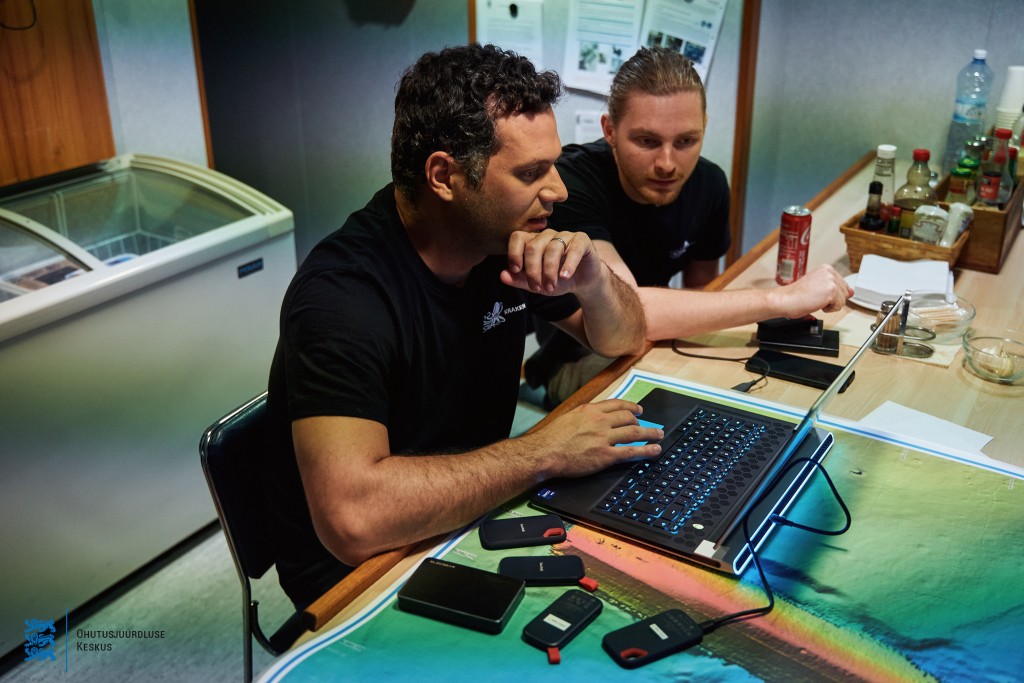
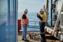
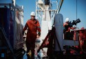
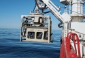
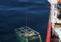
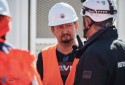
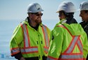
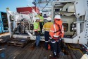
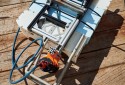
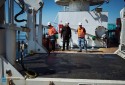
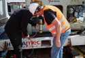
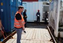
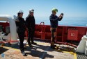
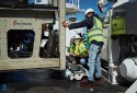
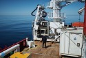
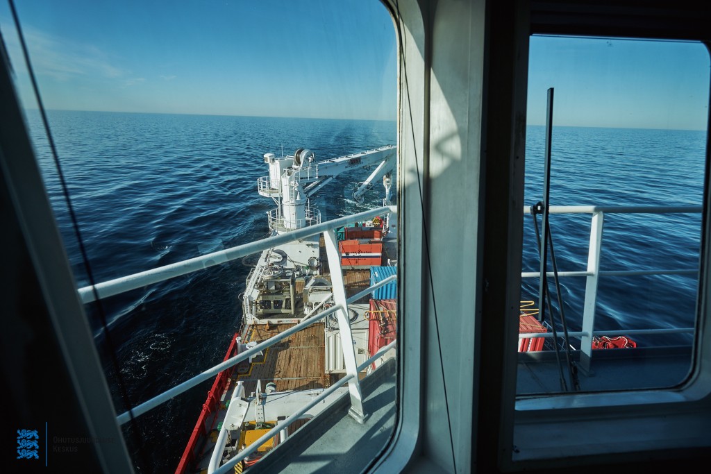
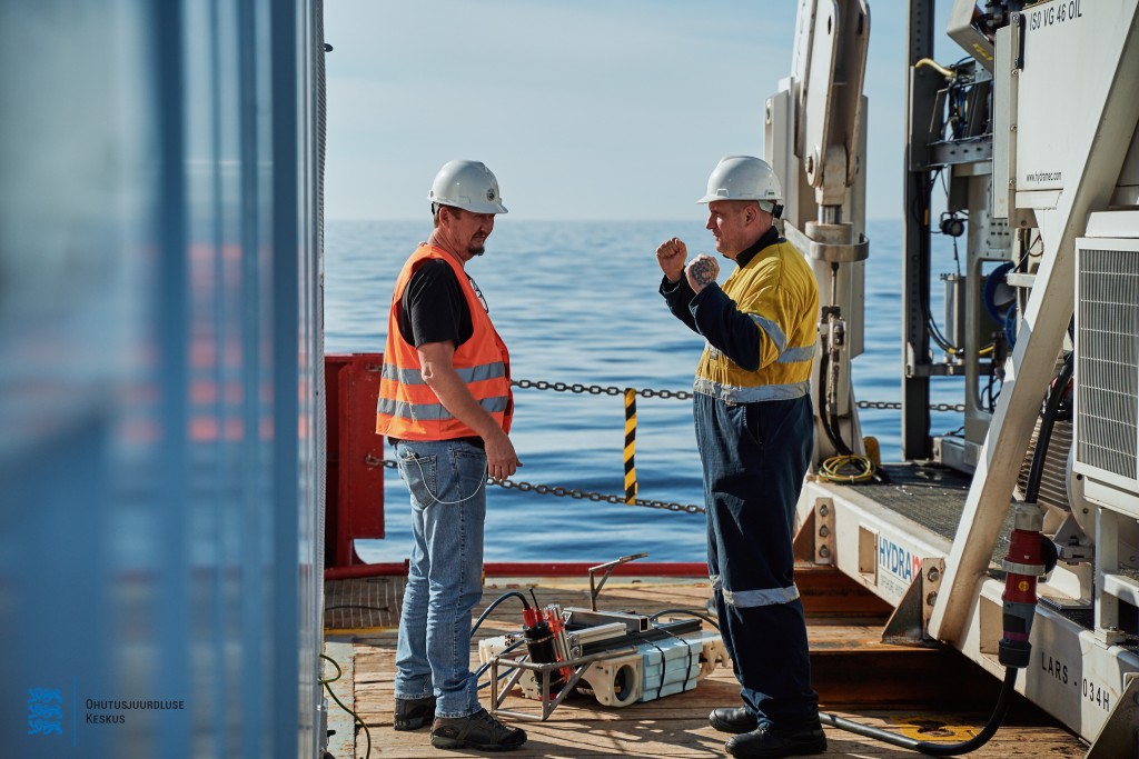
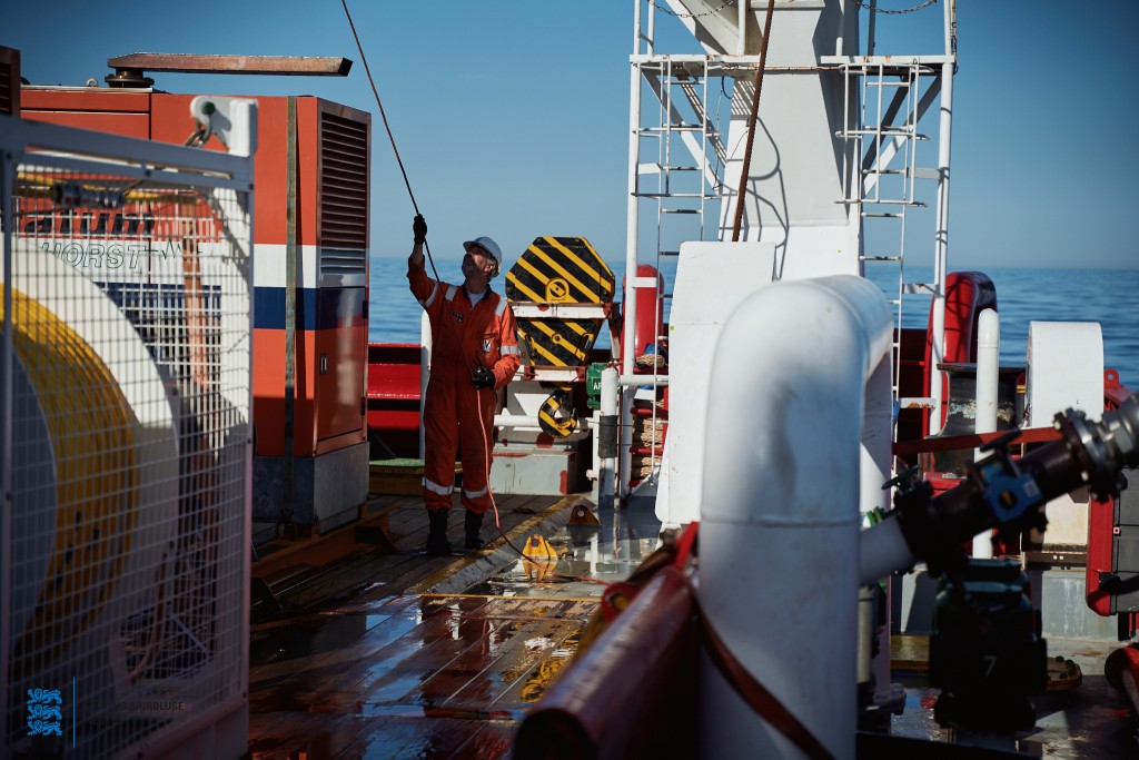
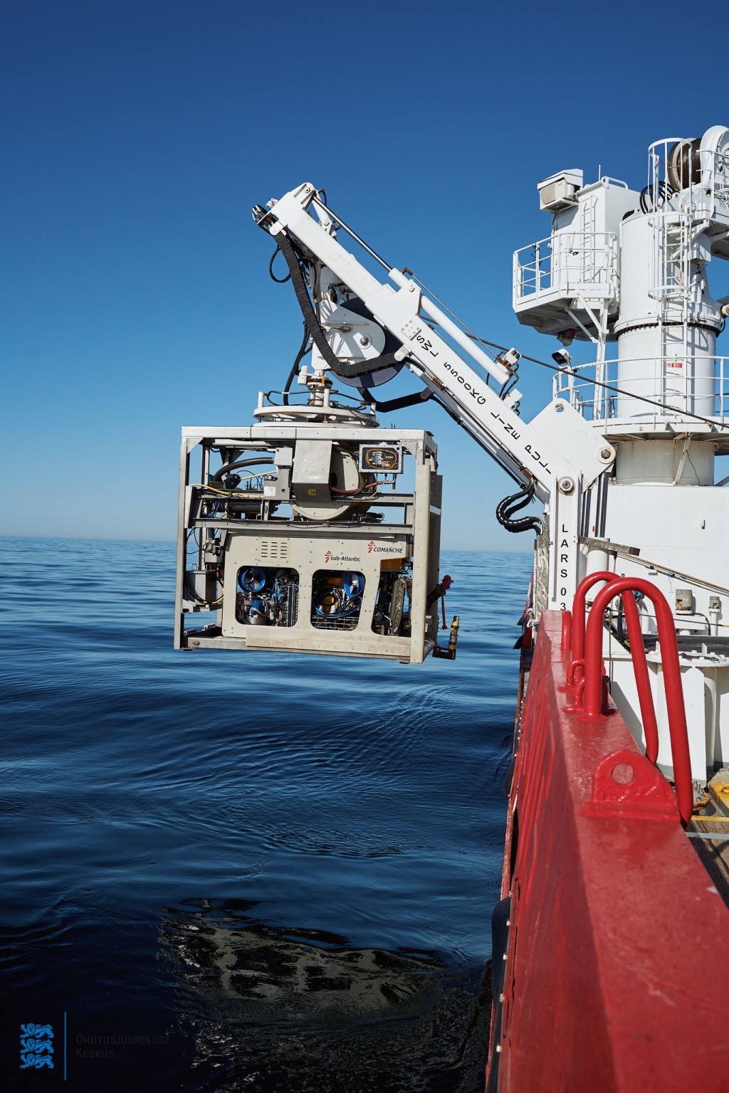
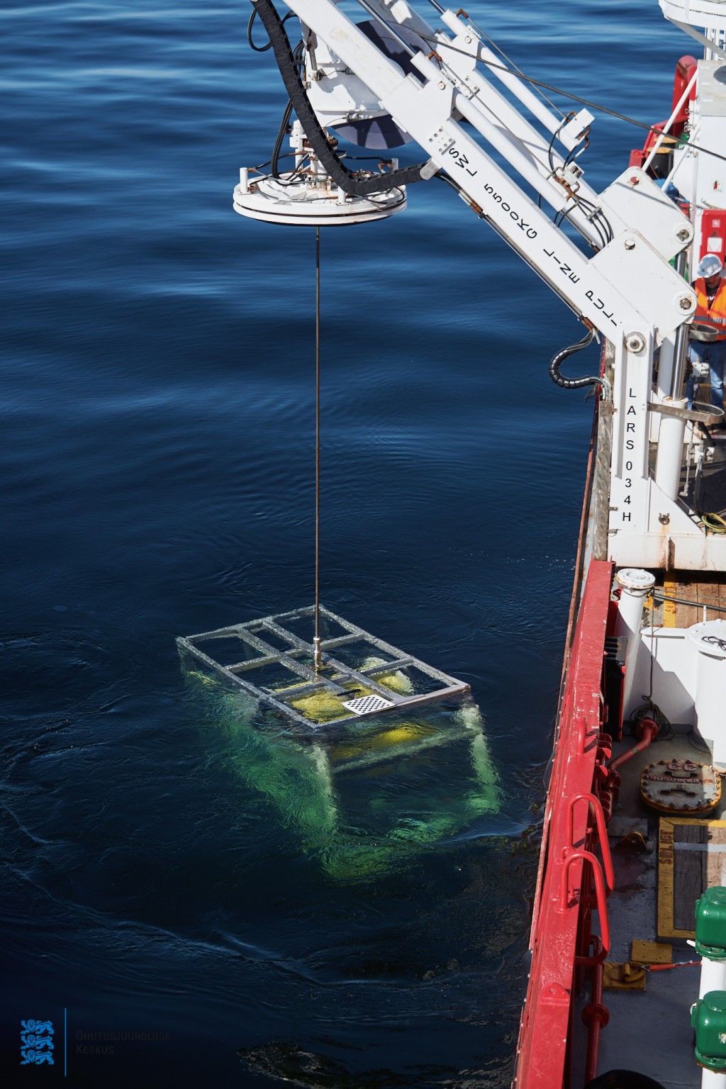
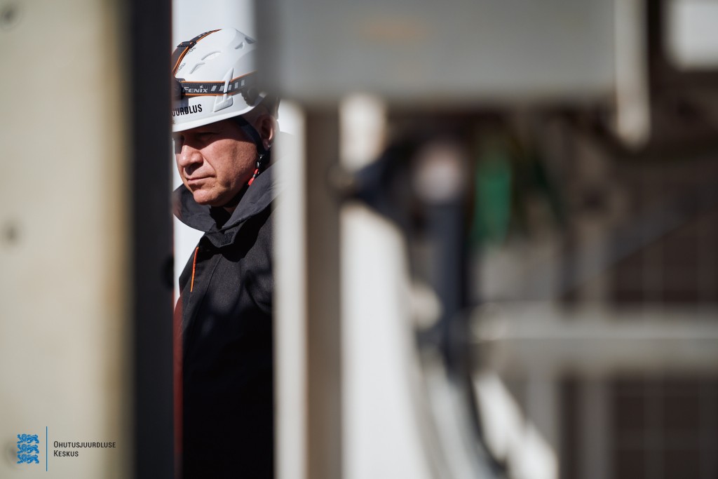
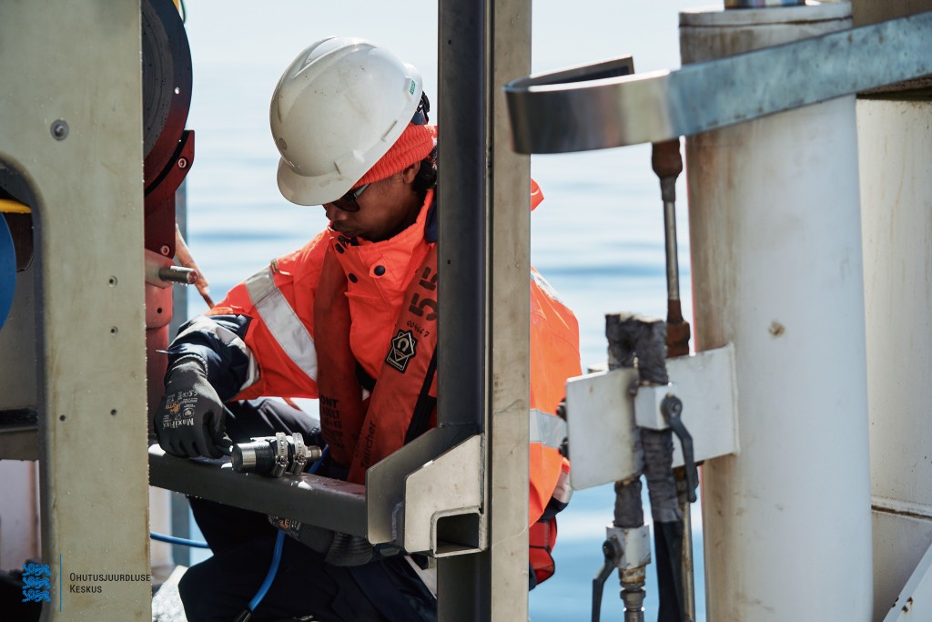
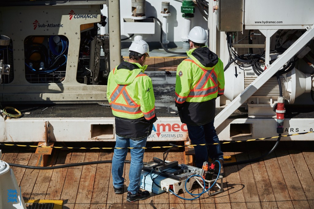
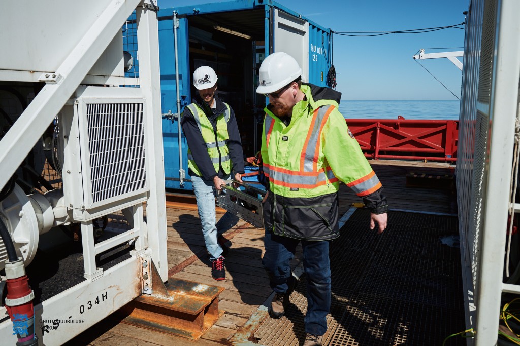
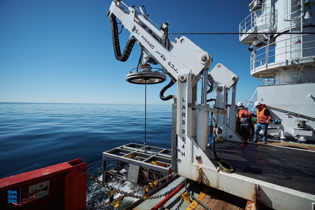
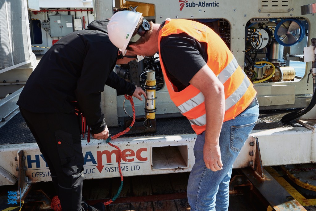
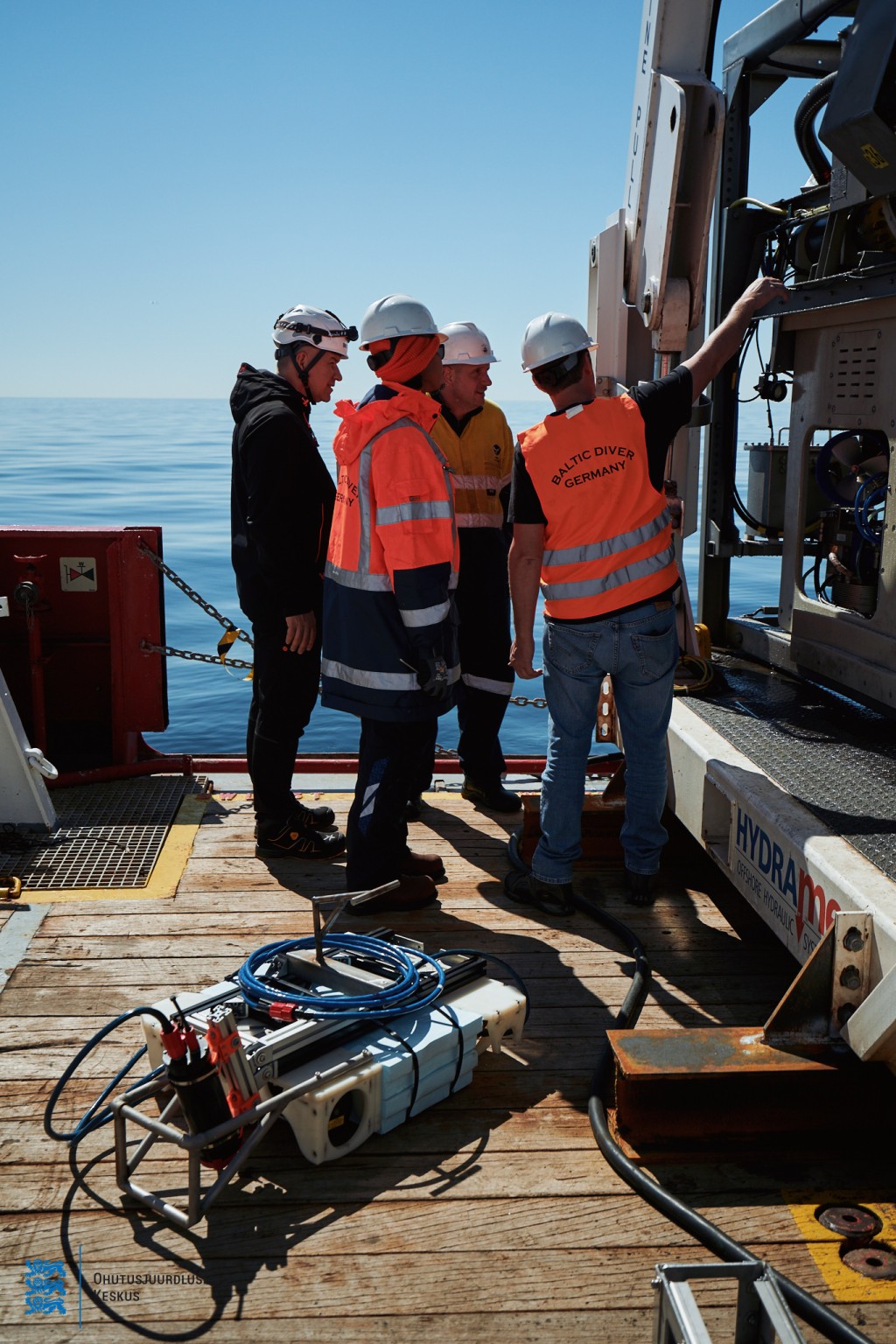
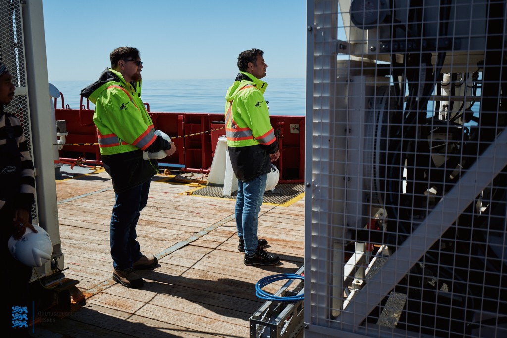
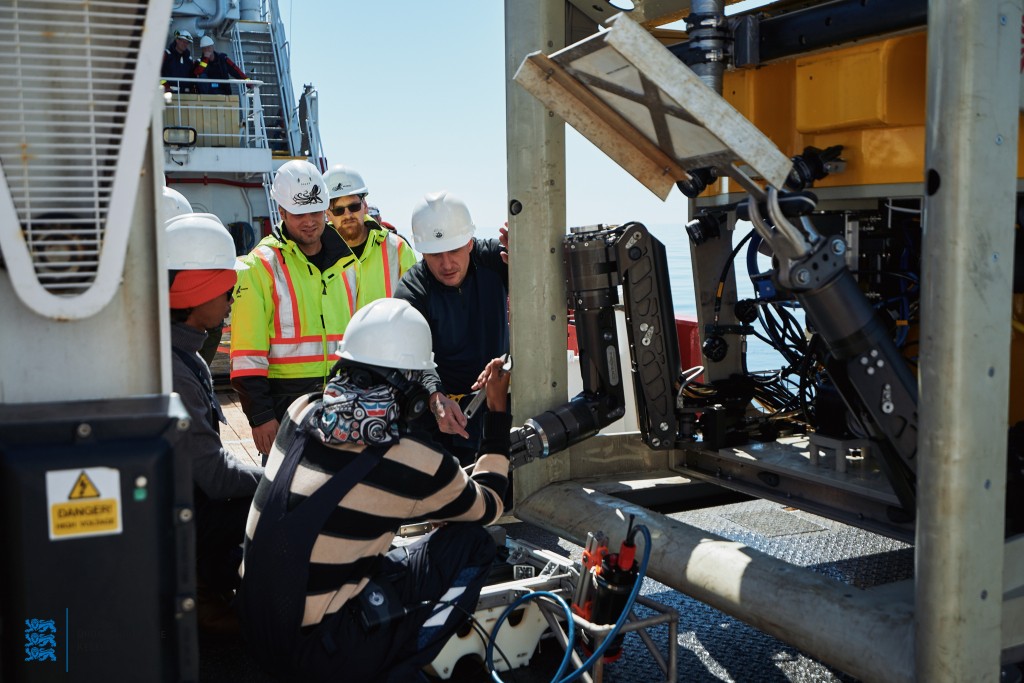
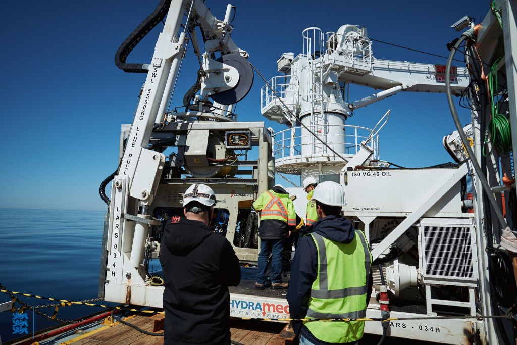
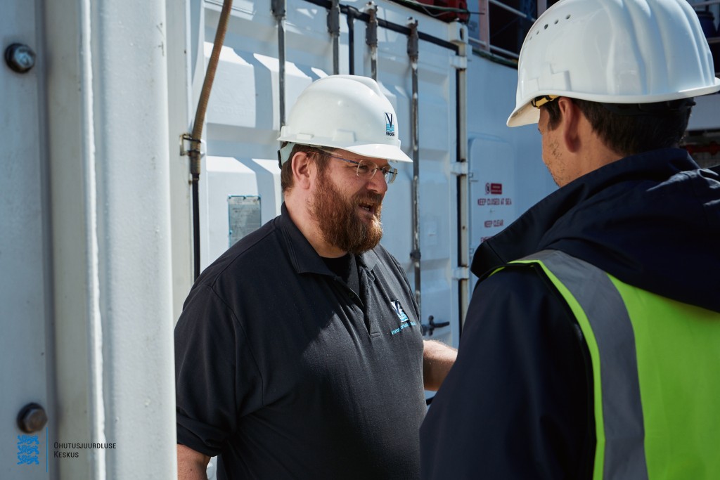
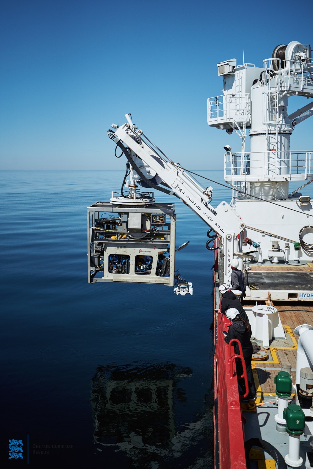
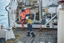
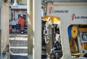
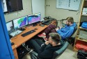
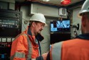
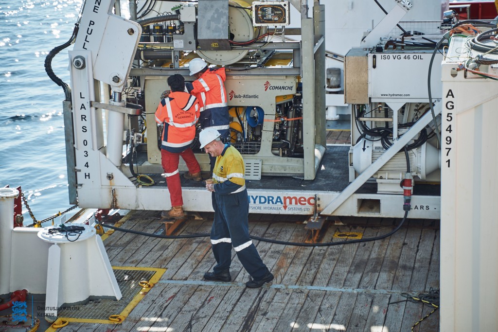
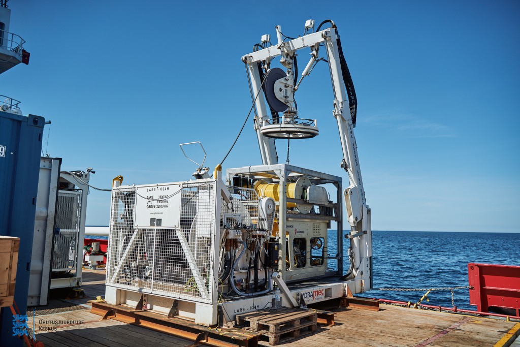
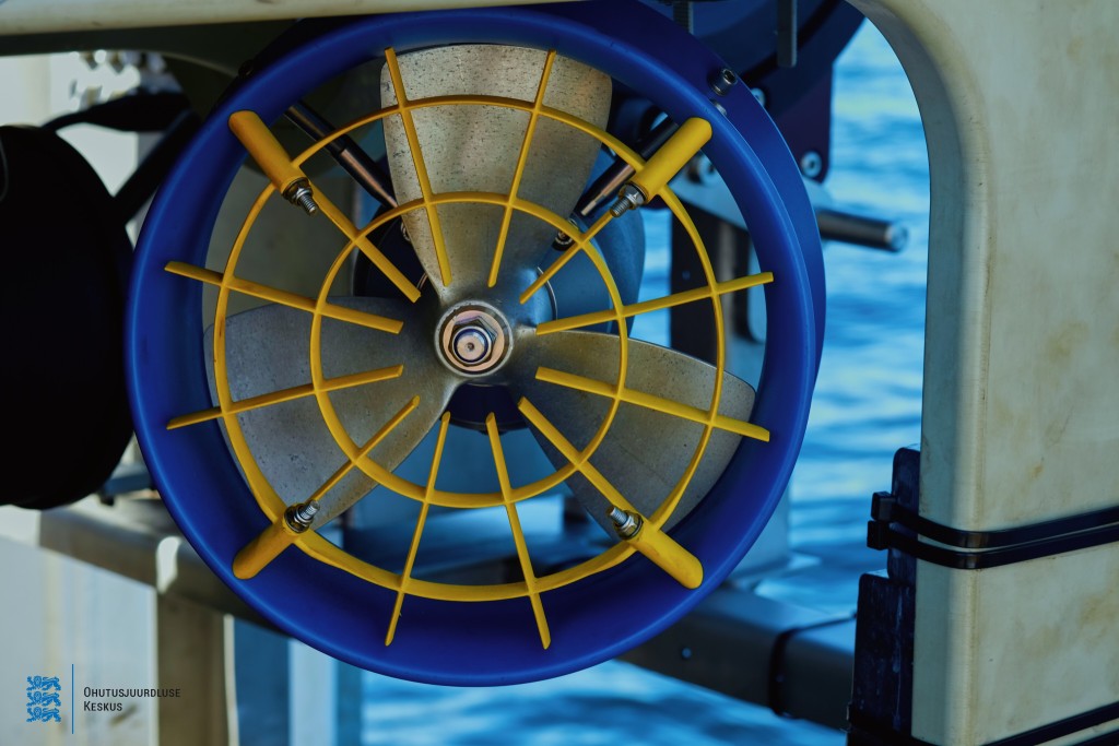
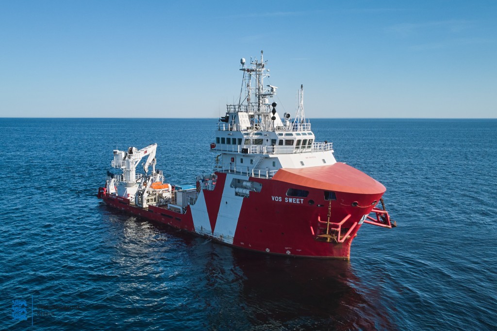
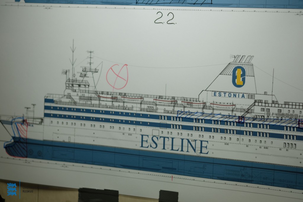
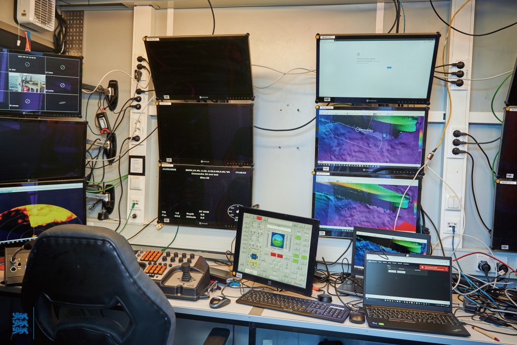
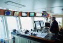
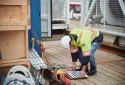
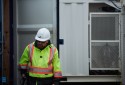
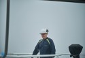
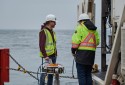
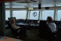
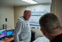
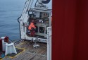
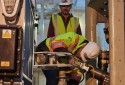
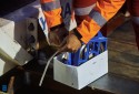
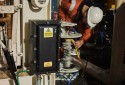
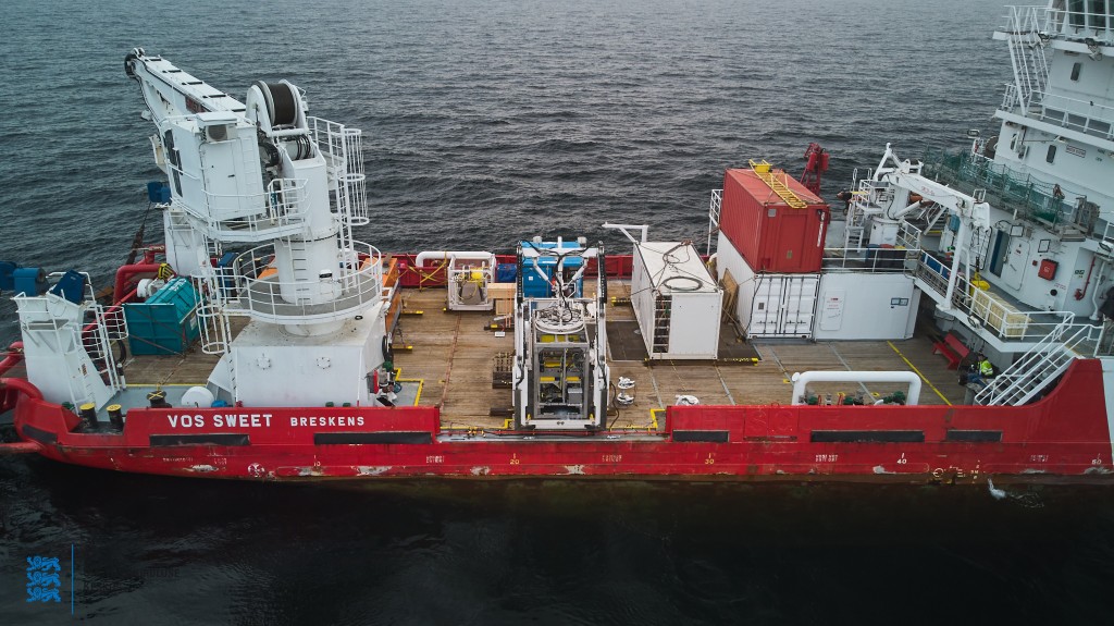
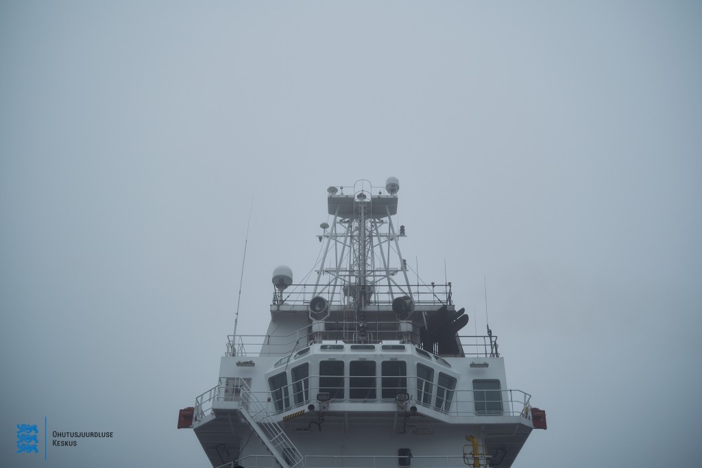
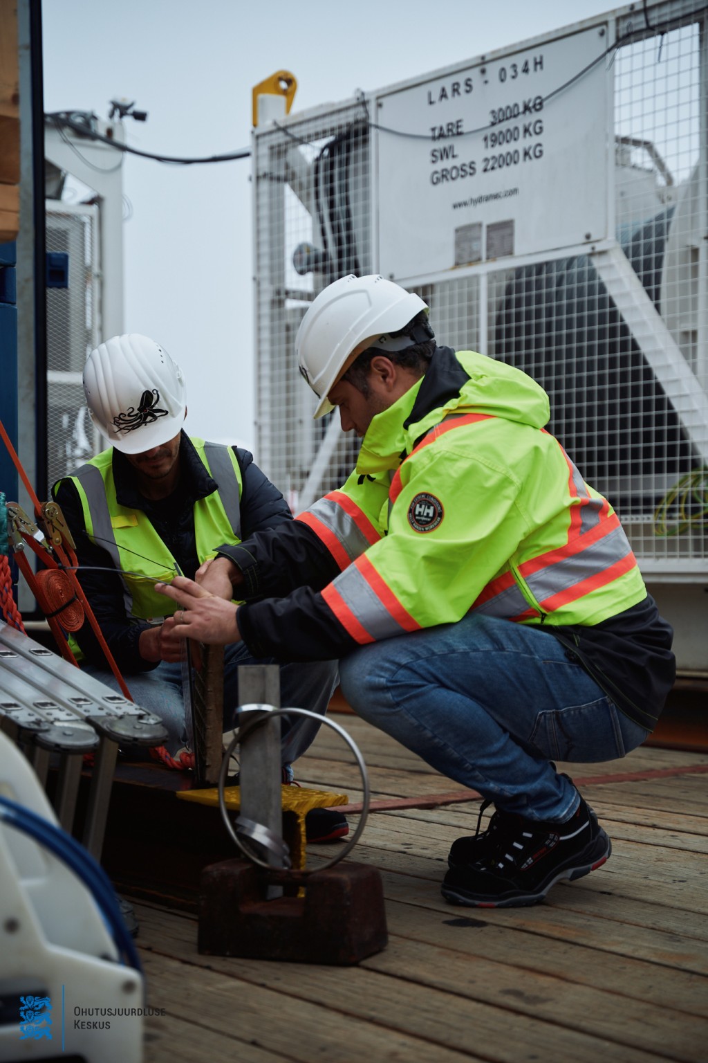
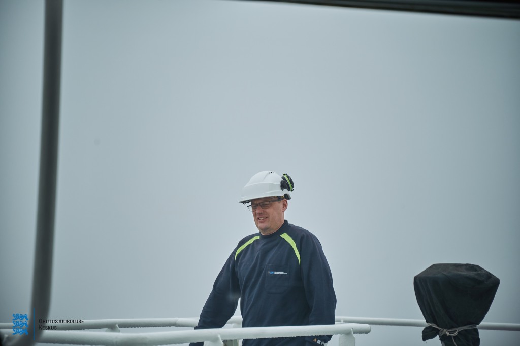
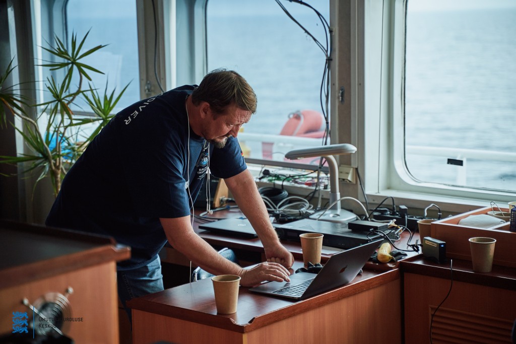
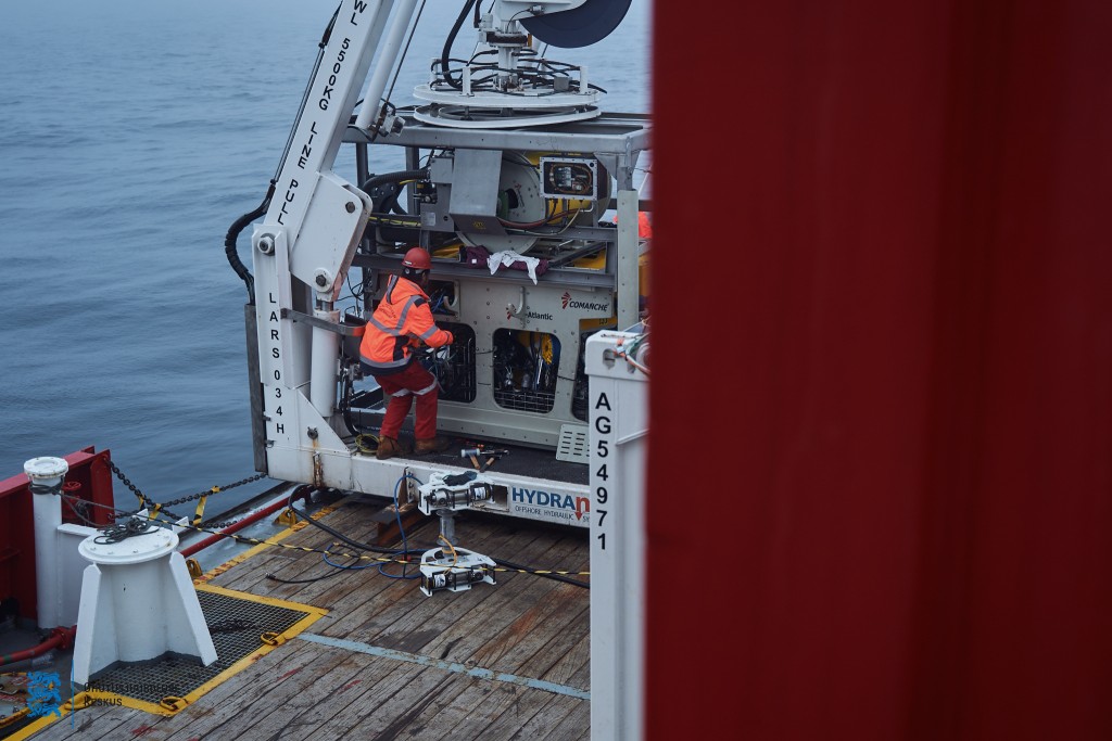
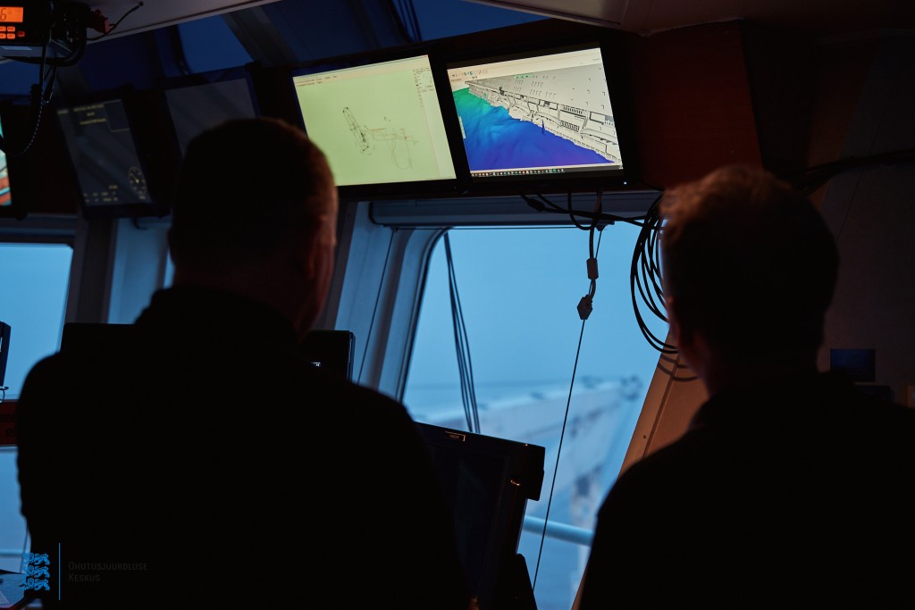
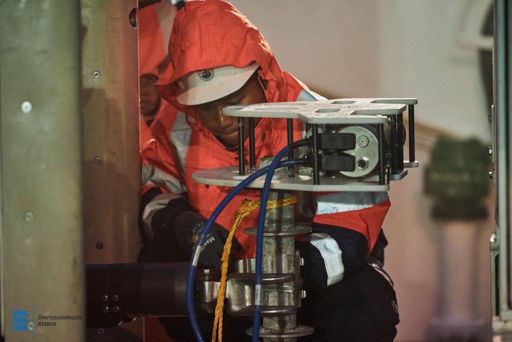
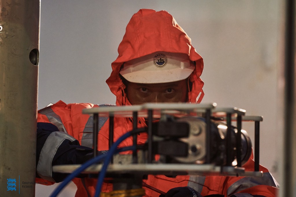
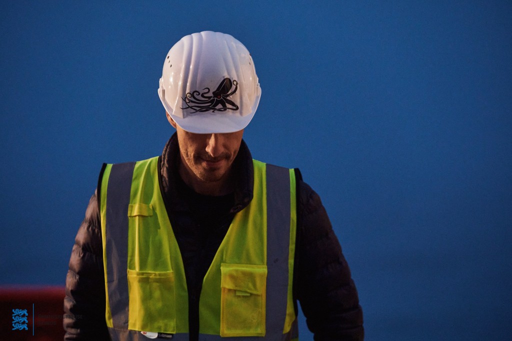
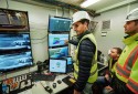
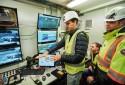
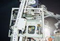
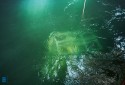
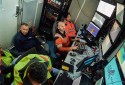
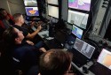
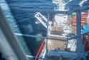
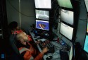
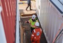
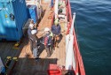
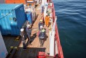
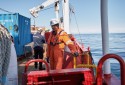
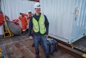
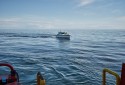
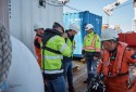
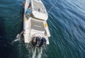
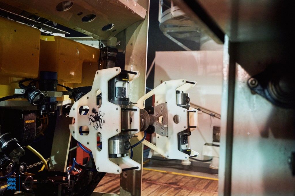
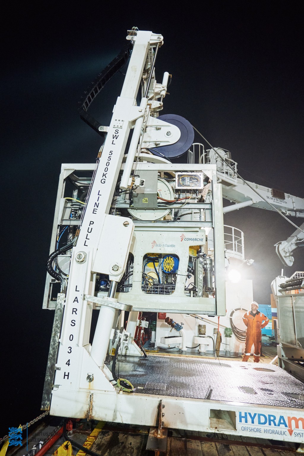
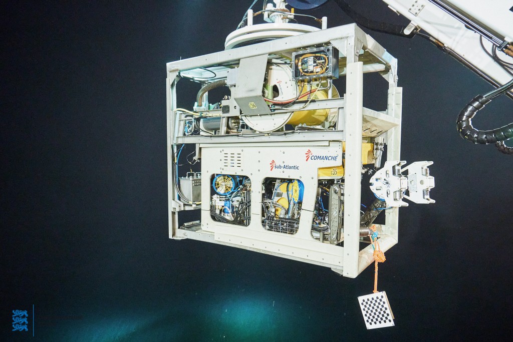
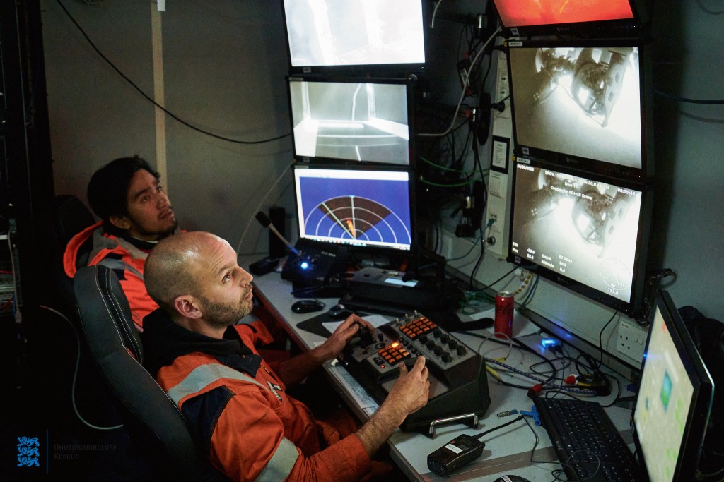
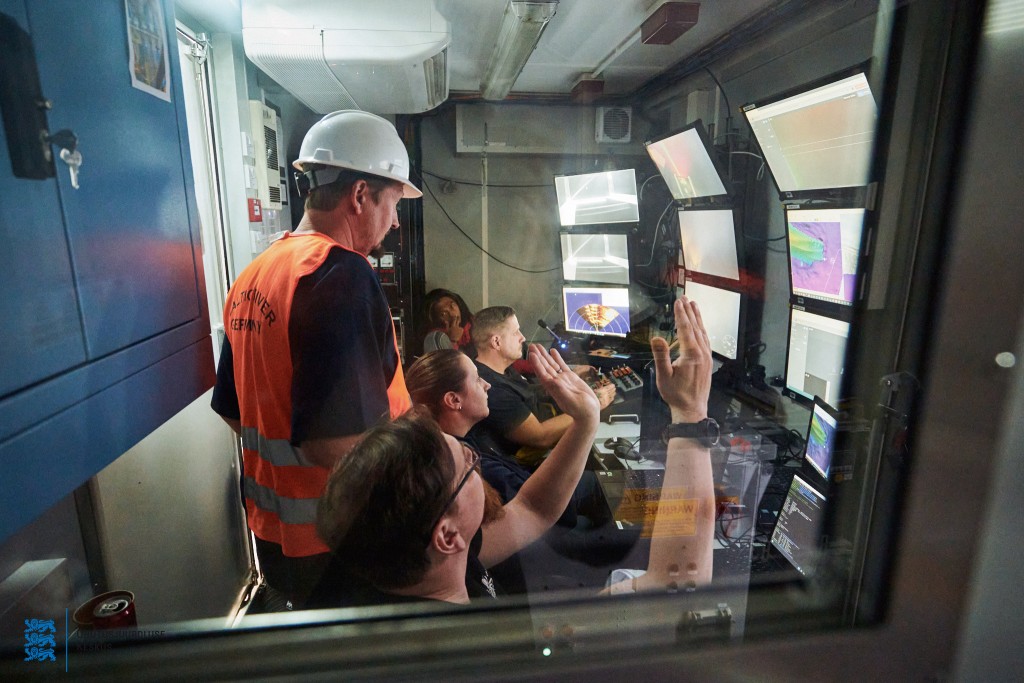
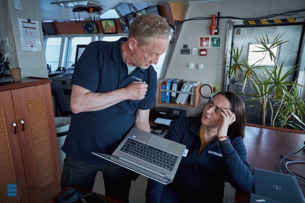
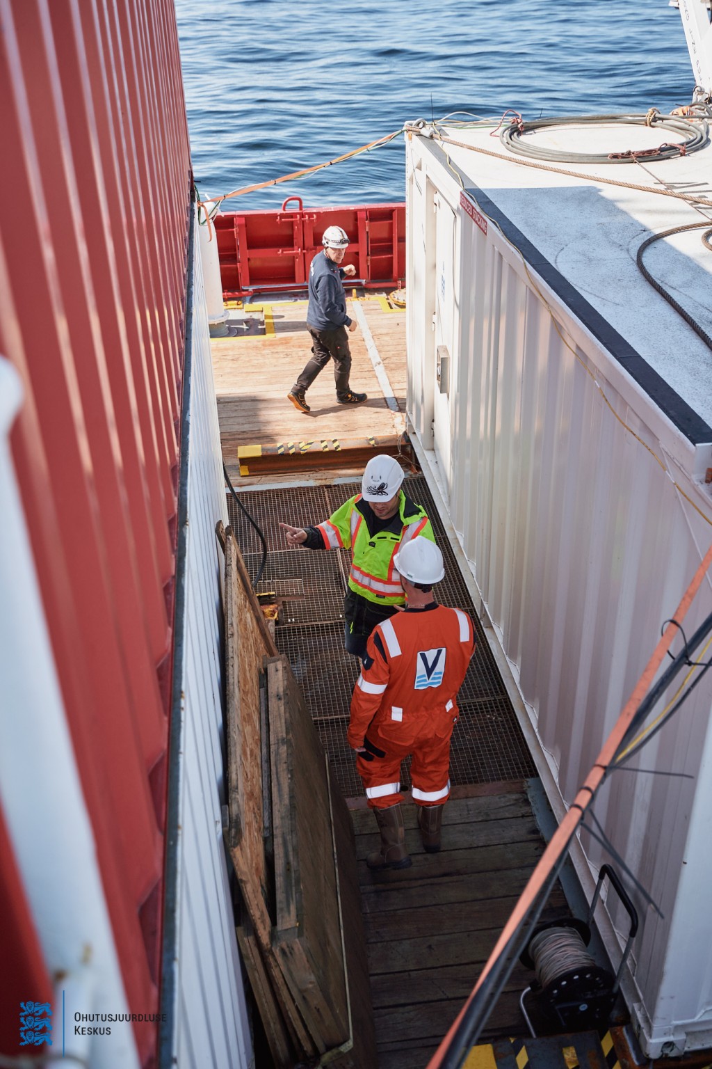
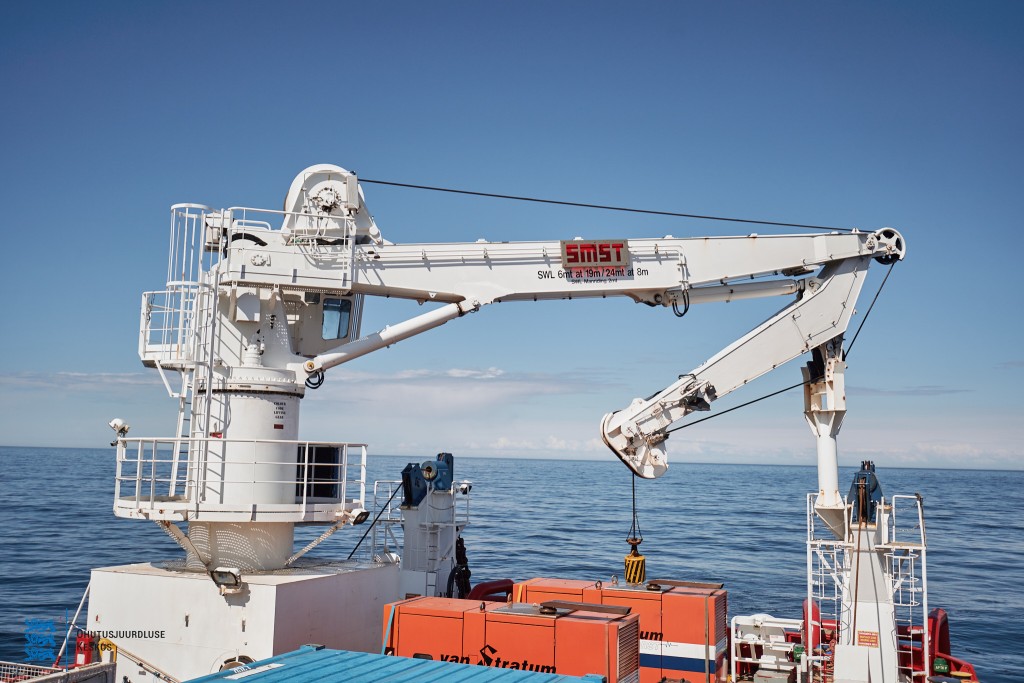
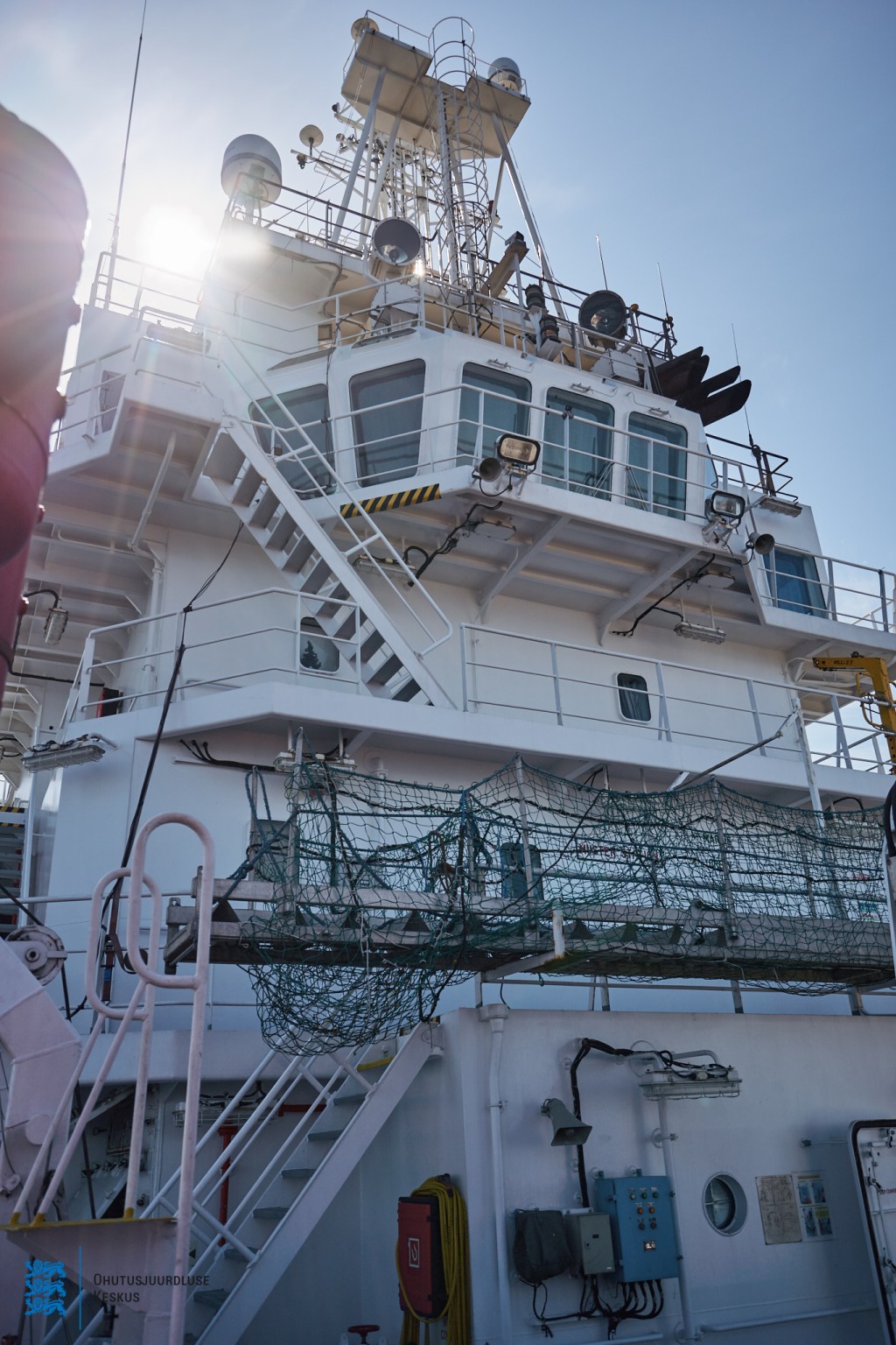
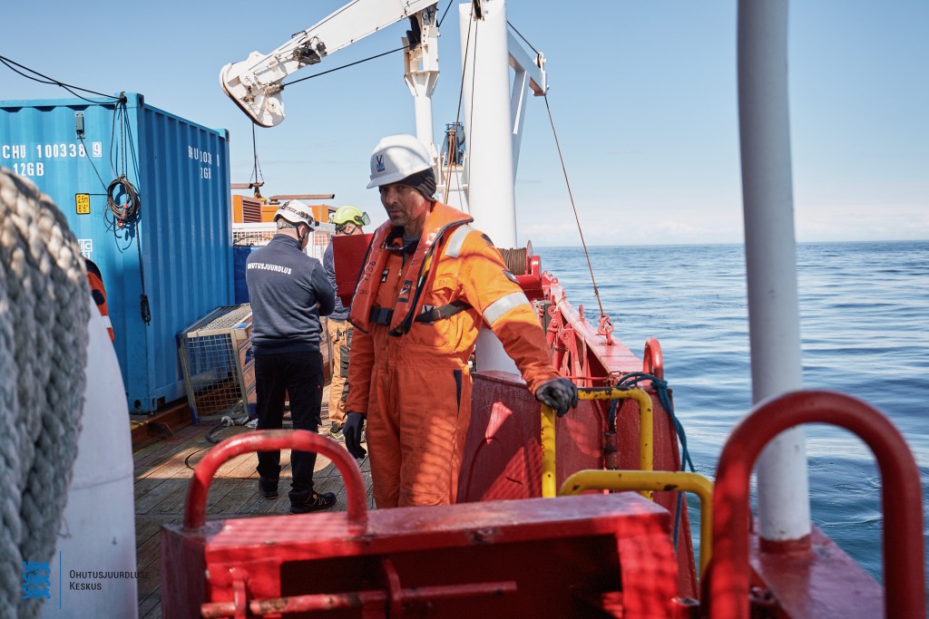
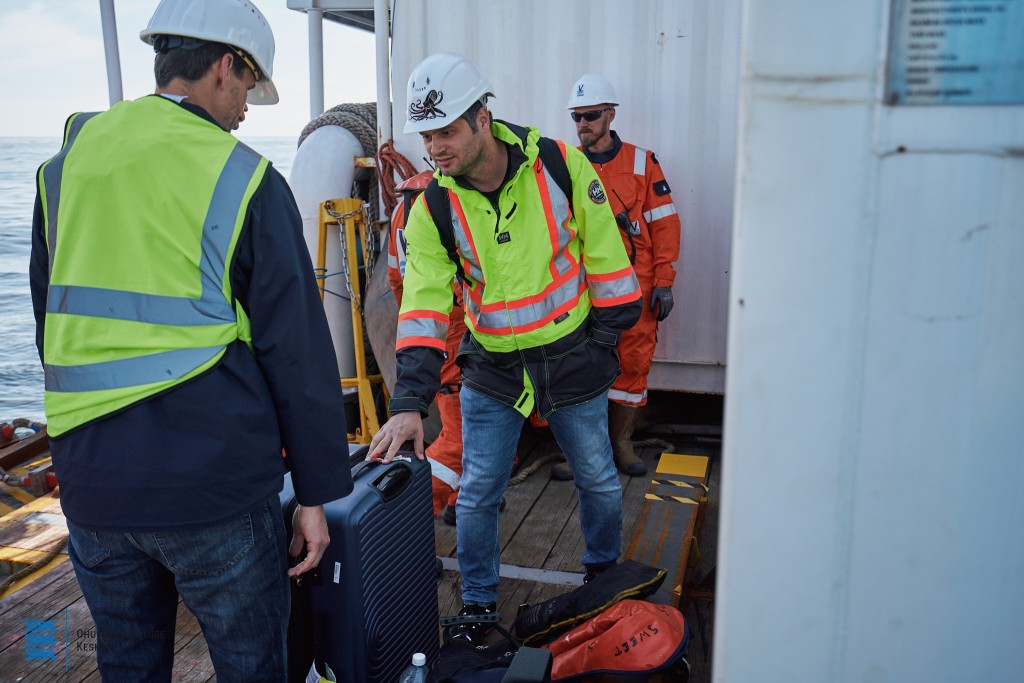
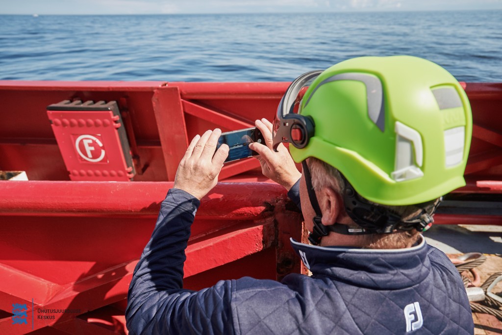
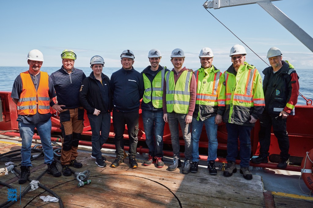
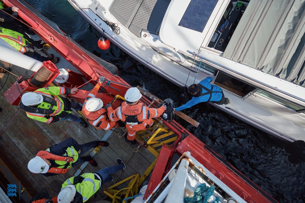
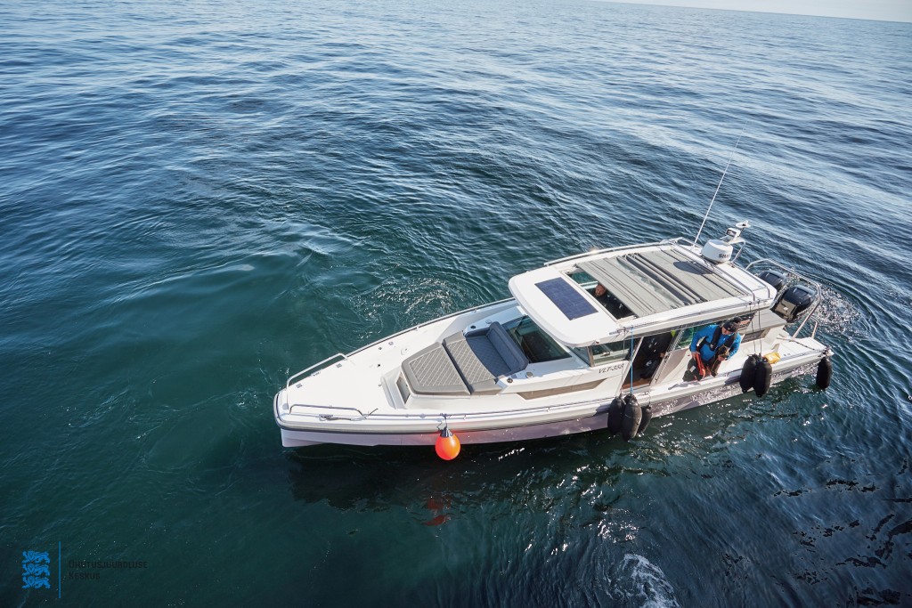
3D laser scanning survey 23.05.2022 (Photographer Andi Kokk)


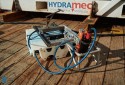
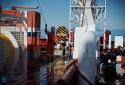

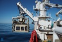
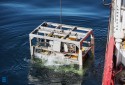


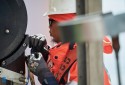

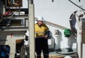
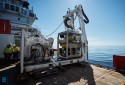

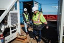

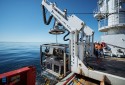

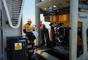

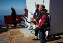
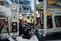


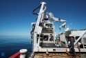


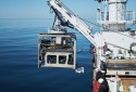
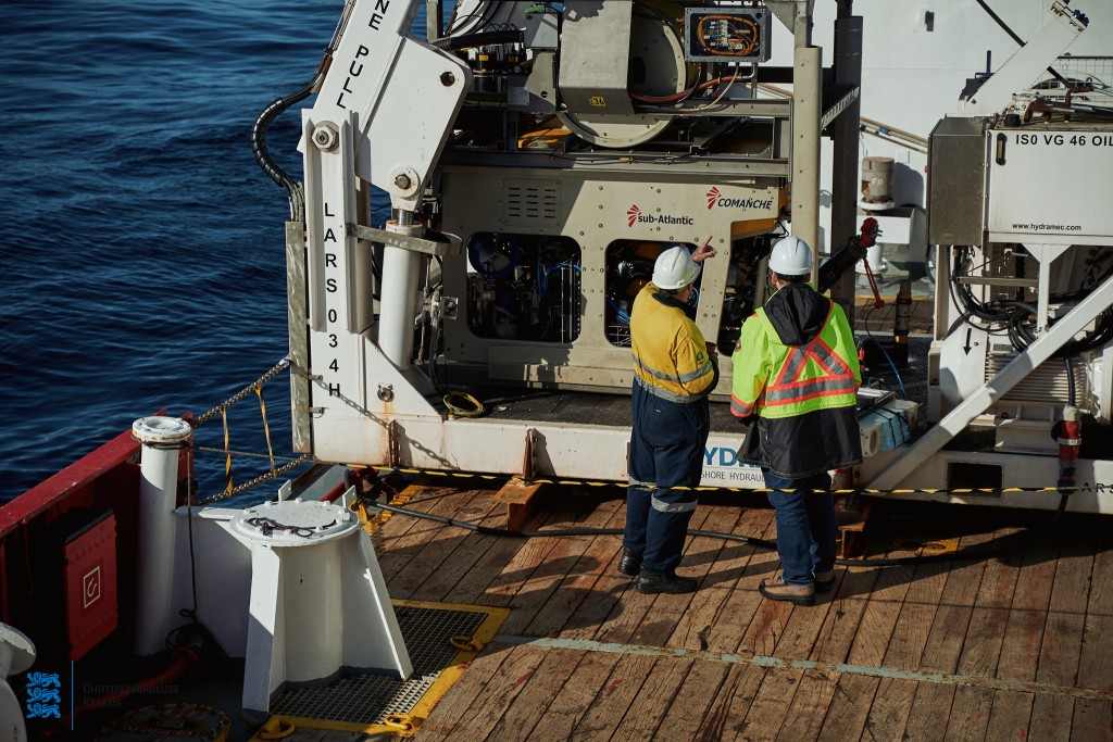

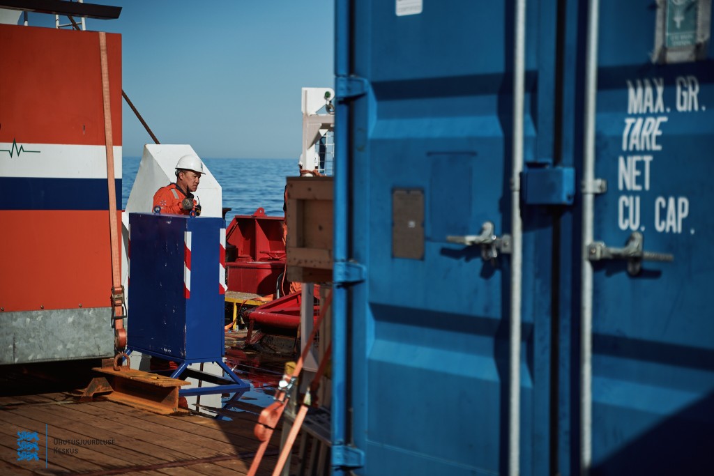
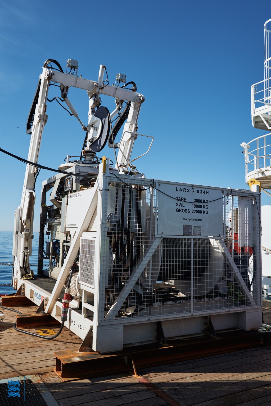
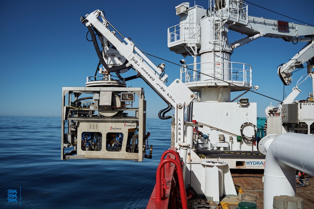
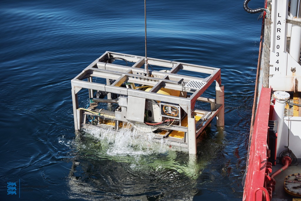
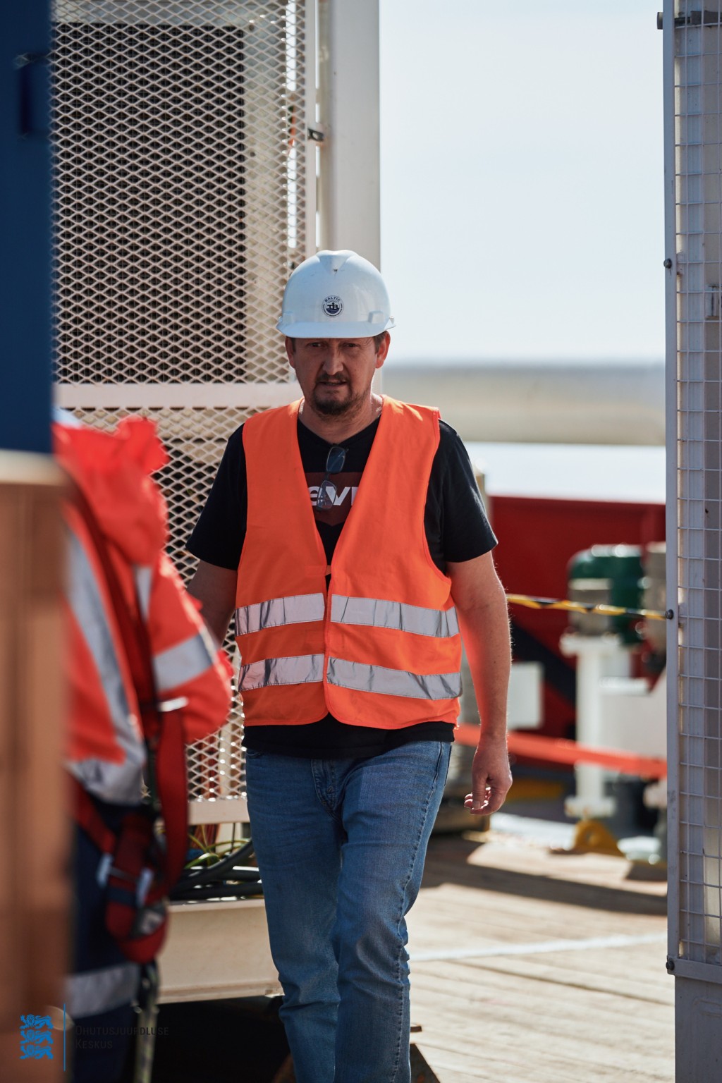

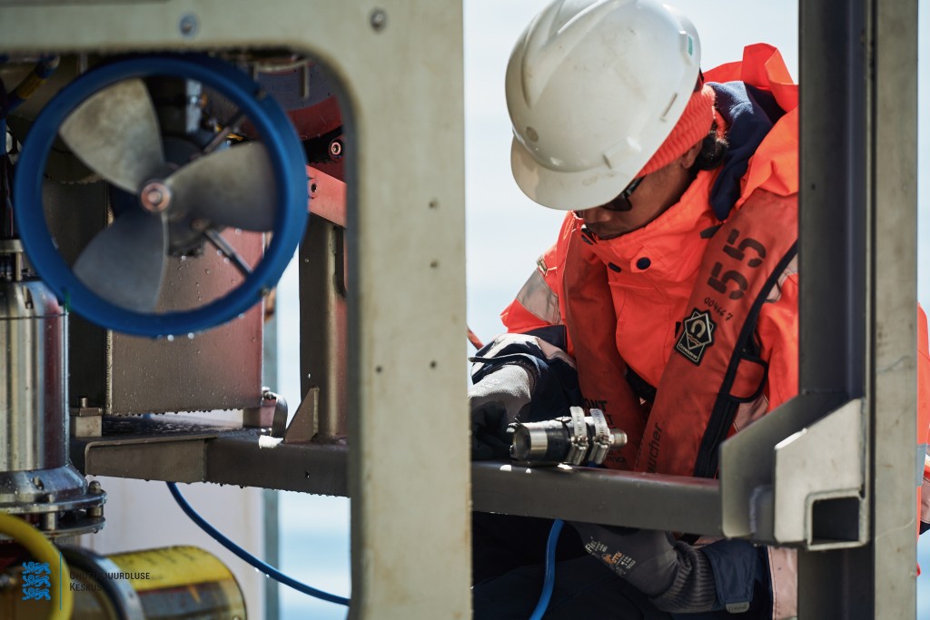

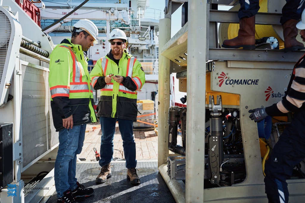
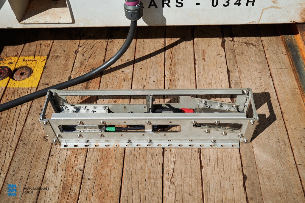
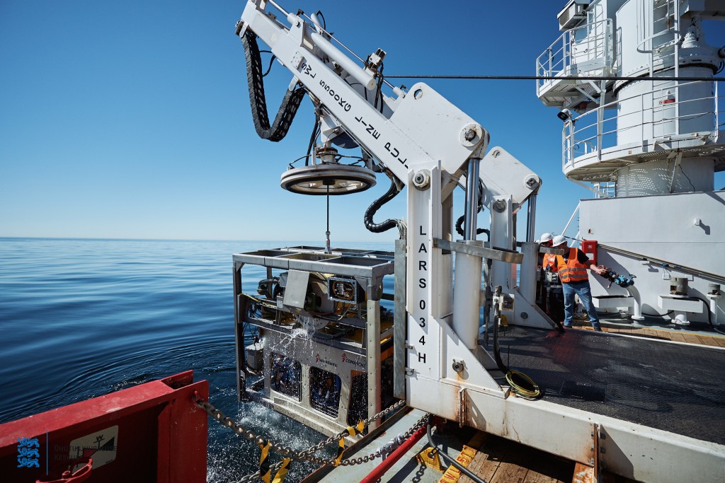
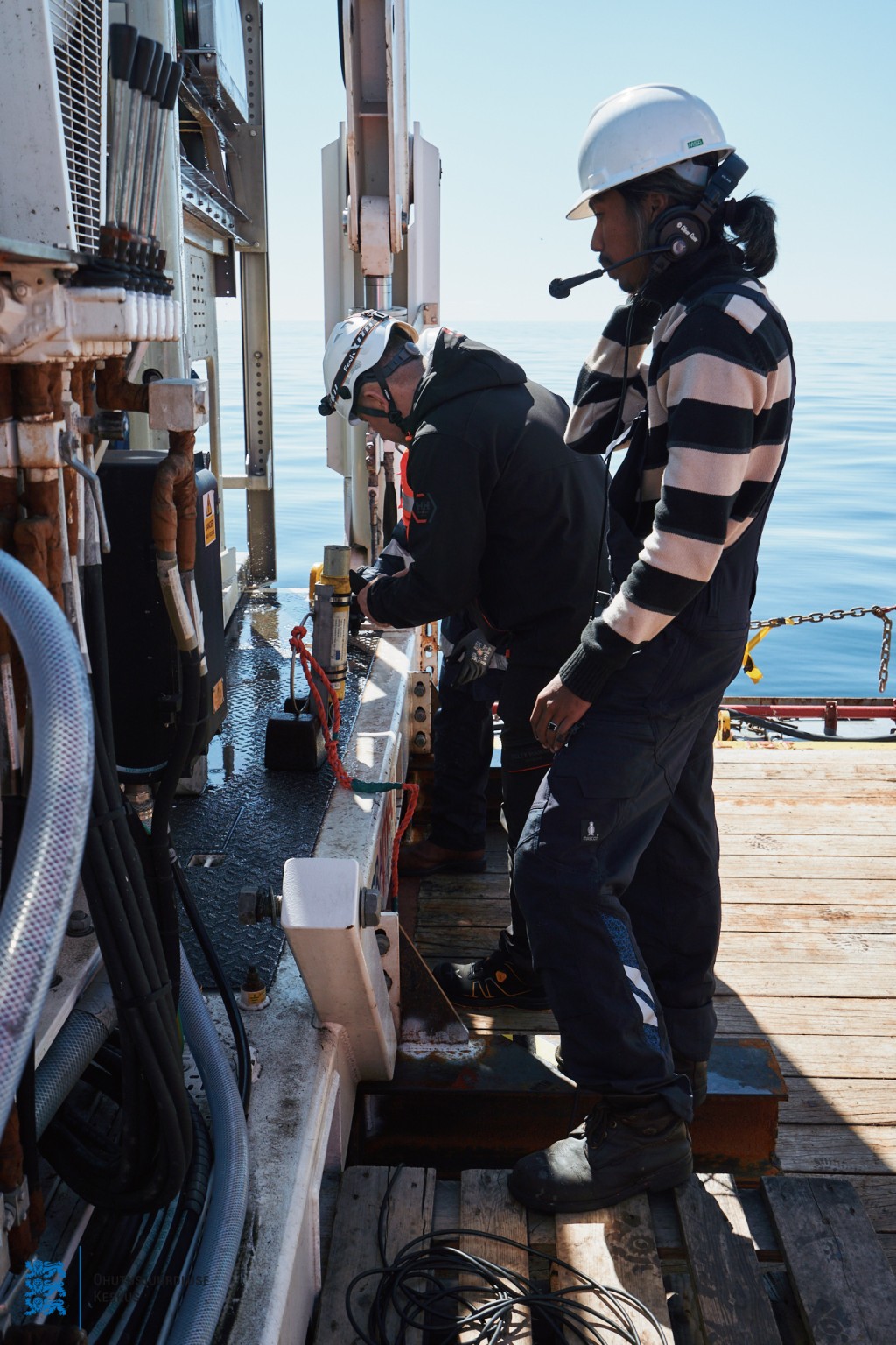
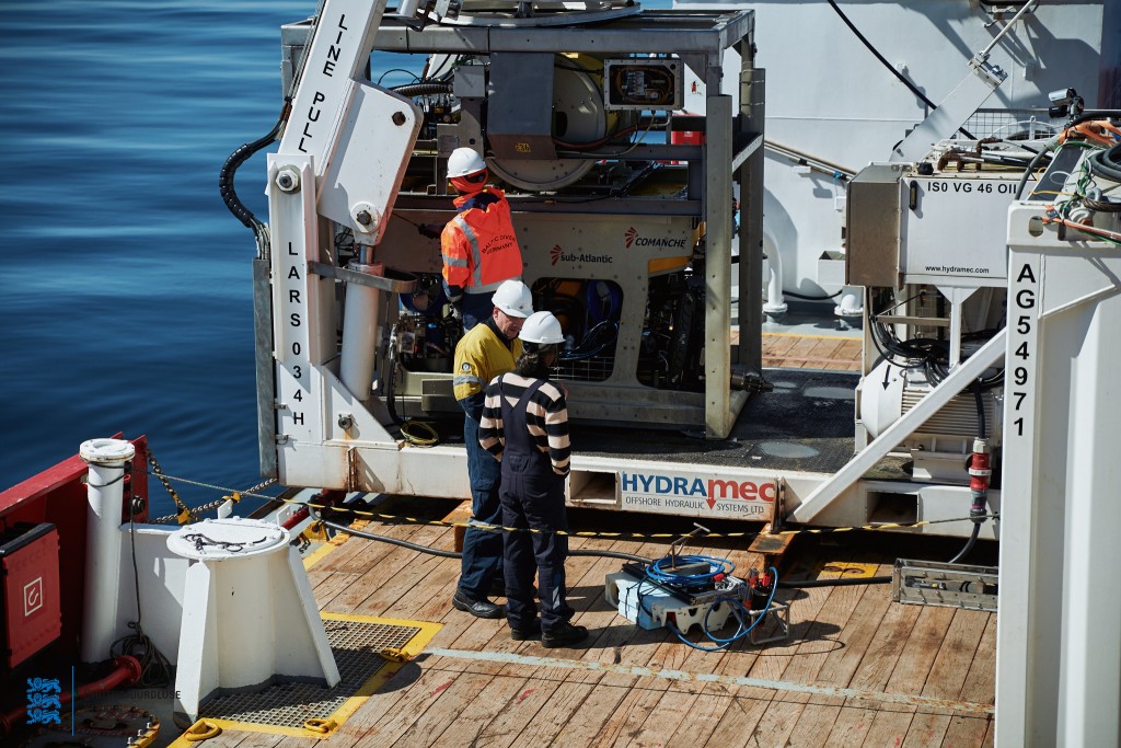
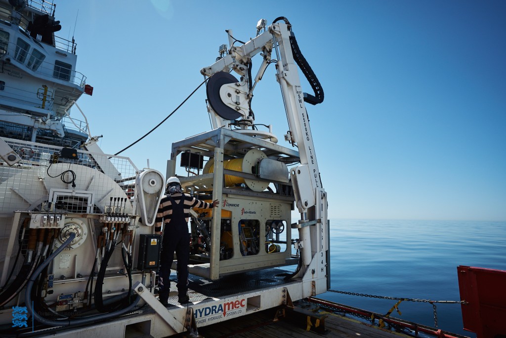
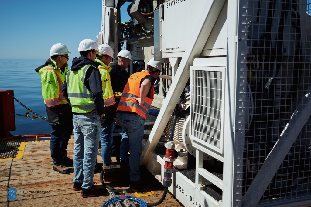
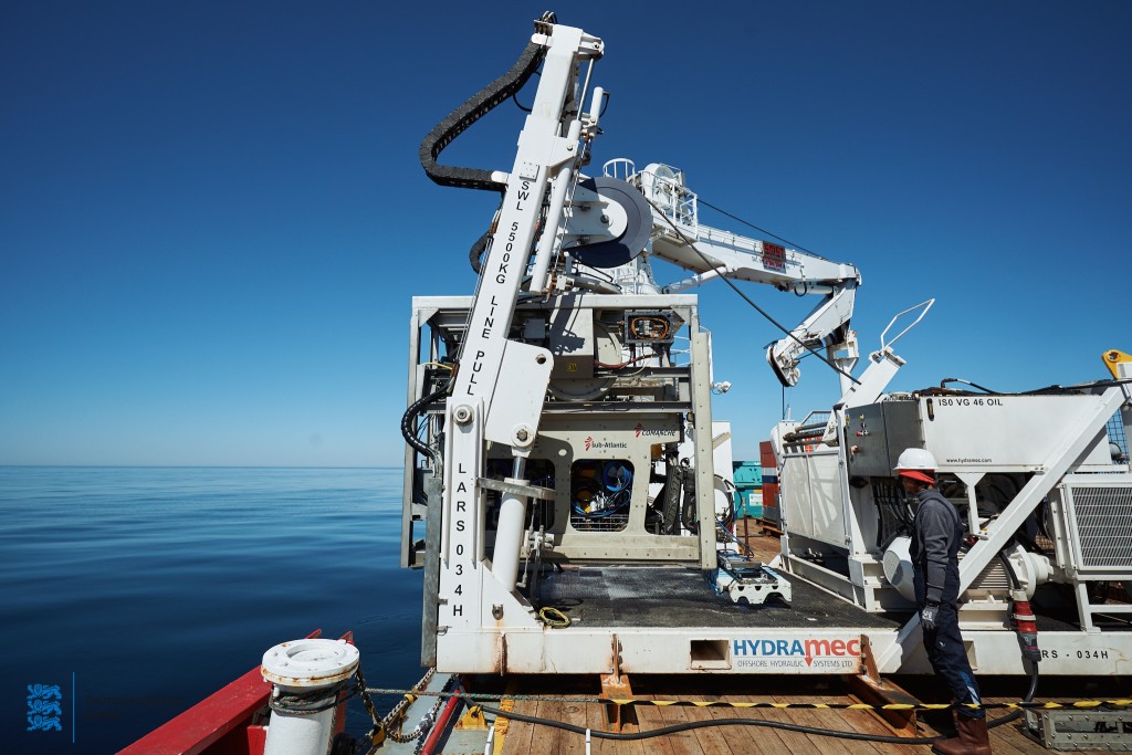
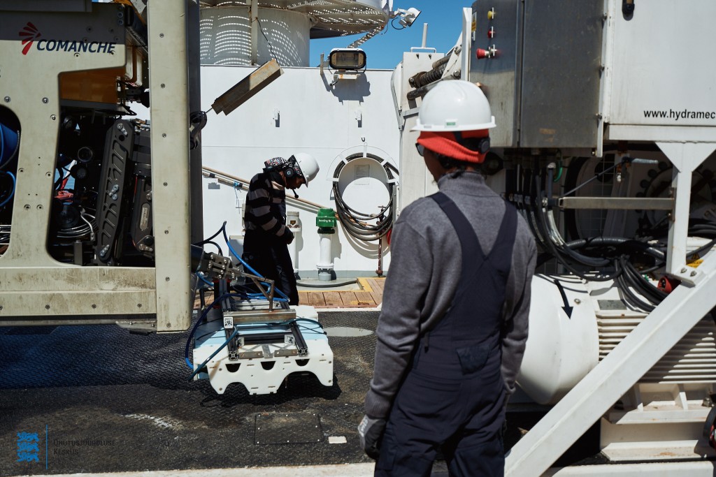
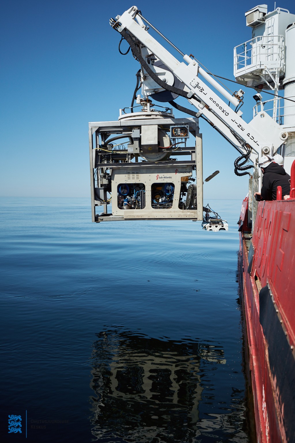
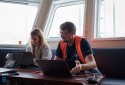
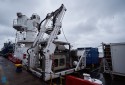
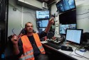
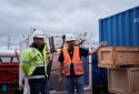
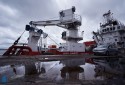
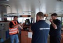
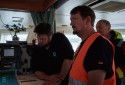
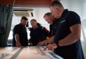
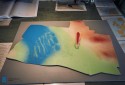
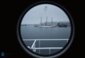
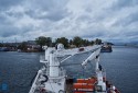
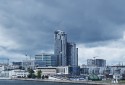
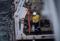
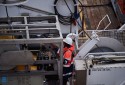
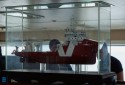
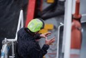
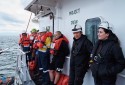
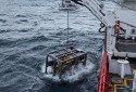
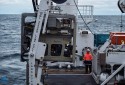
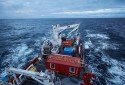
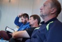
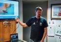
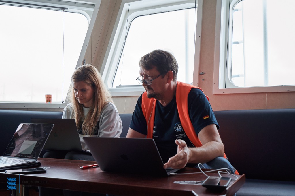
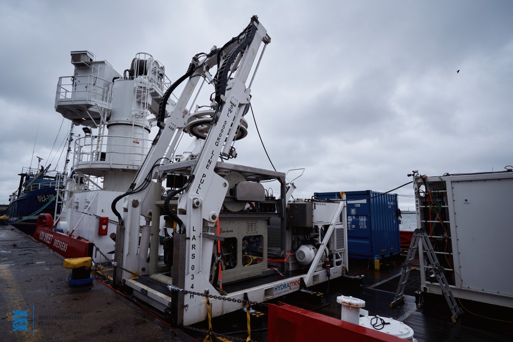
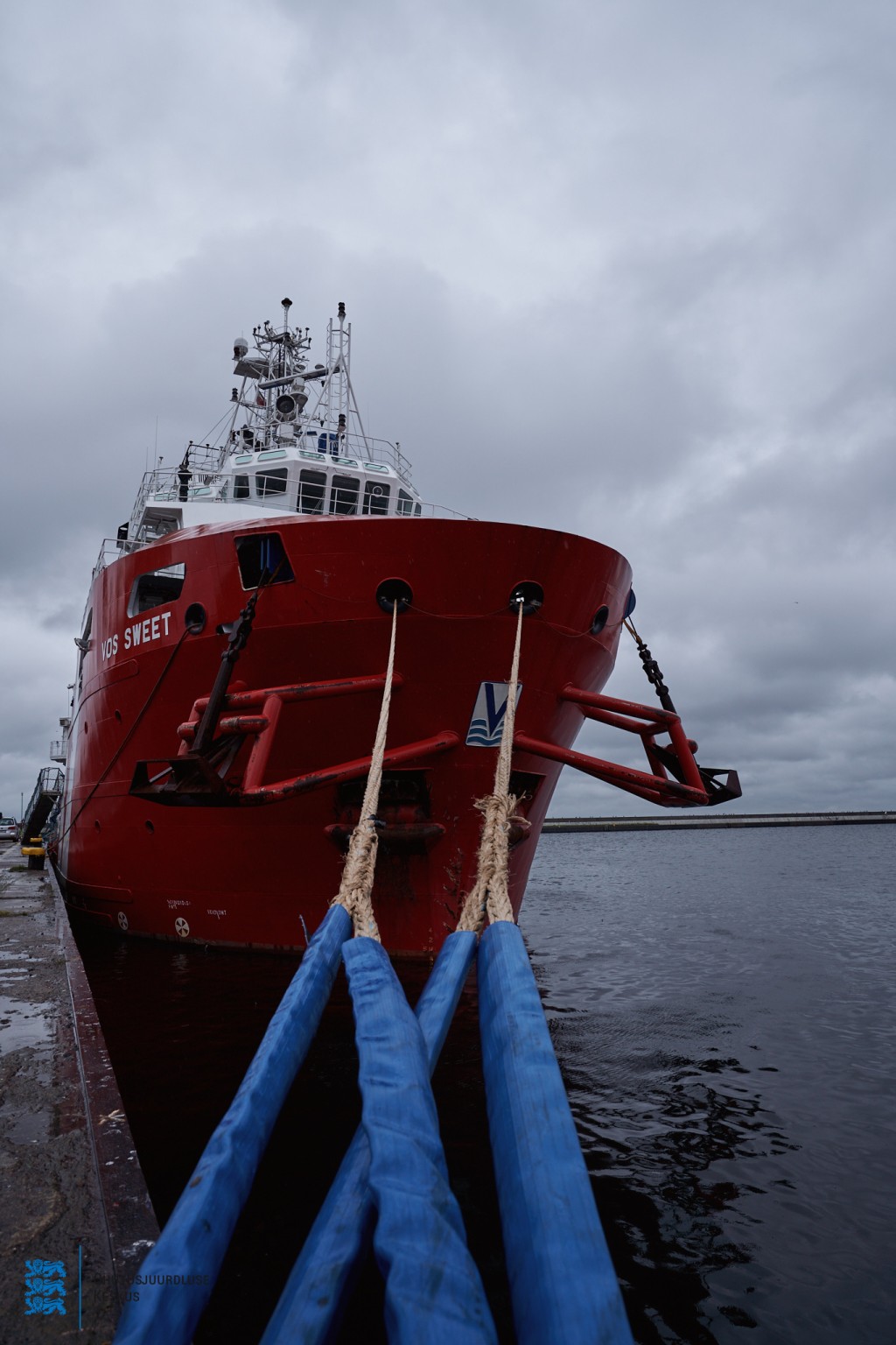
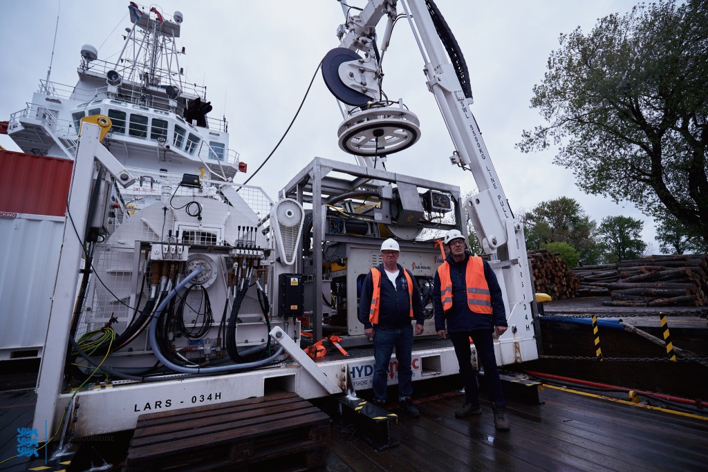
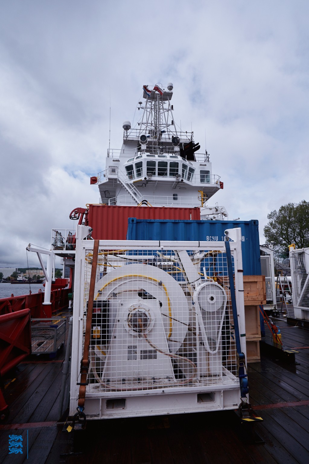
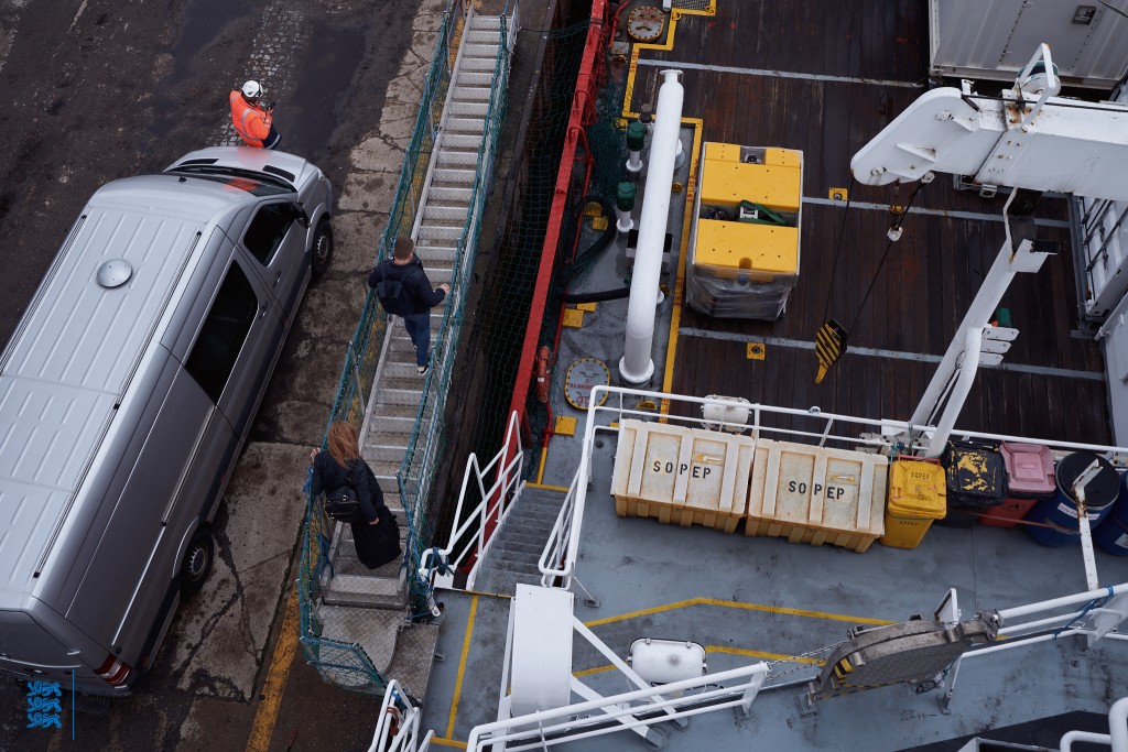
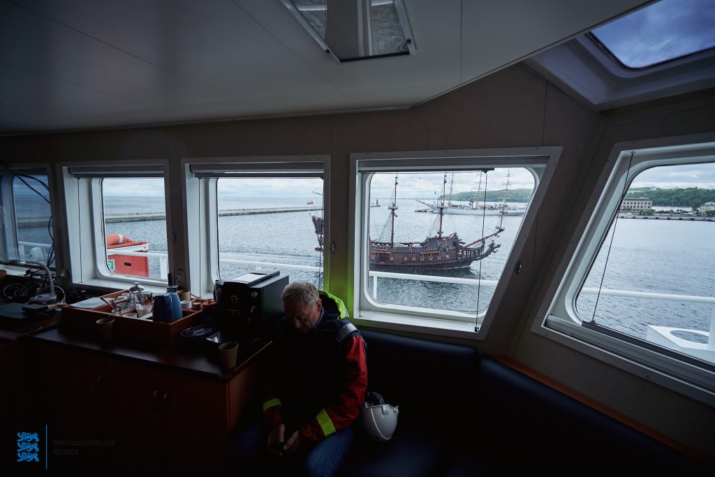
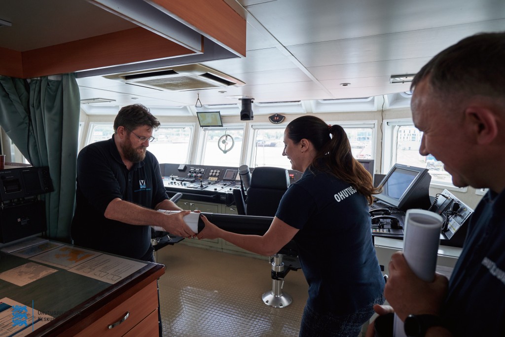
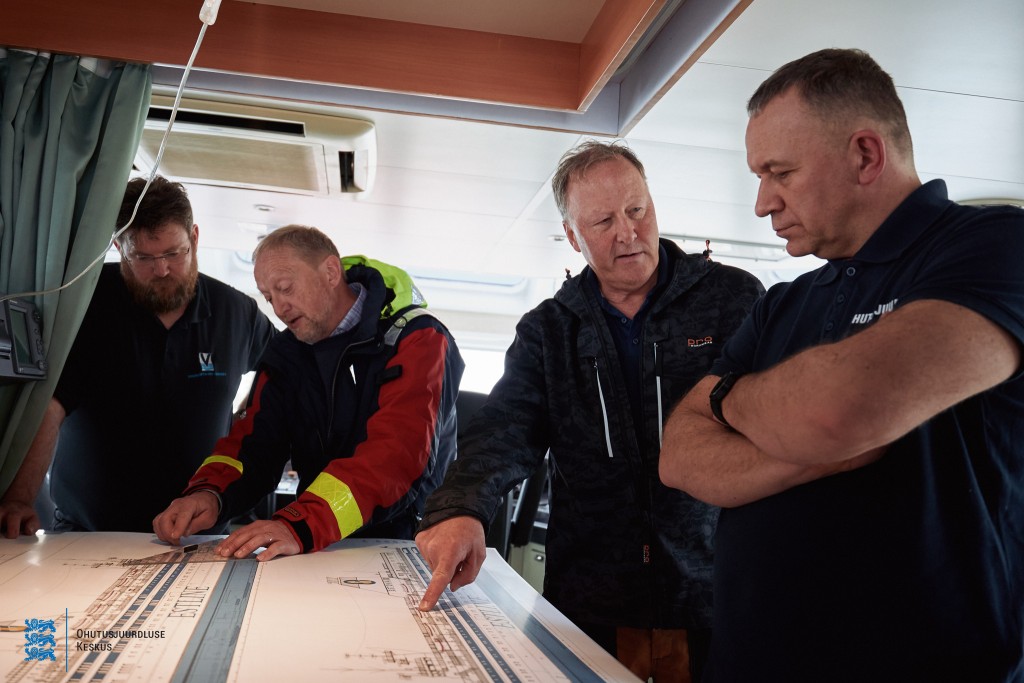
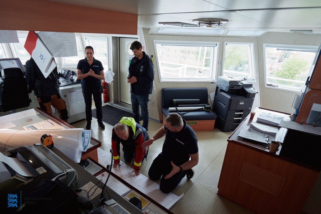
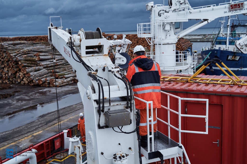
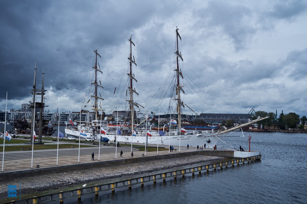
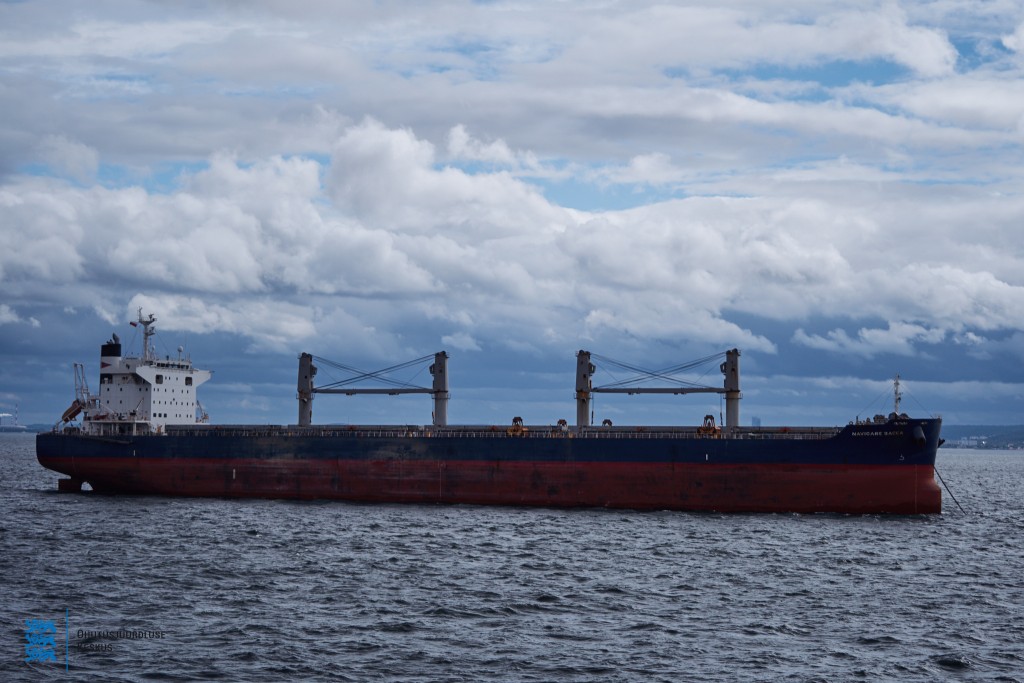
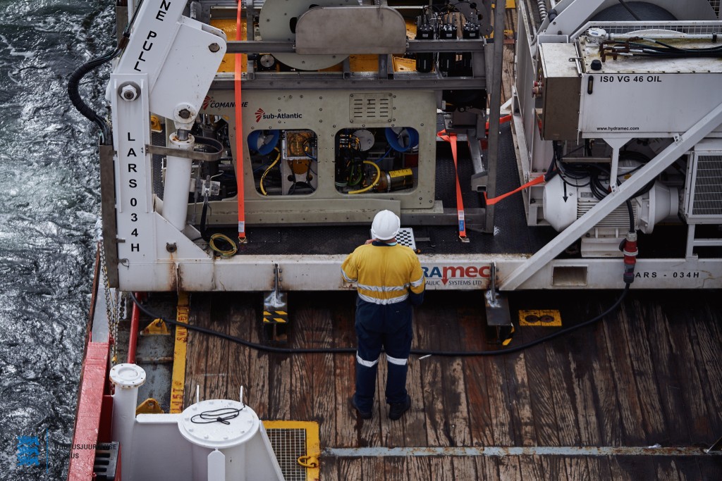
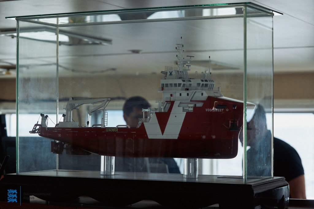
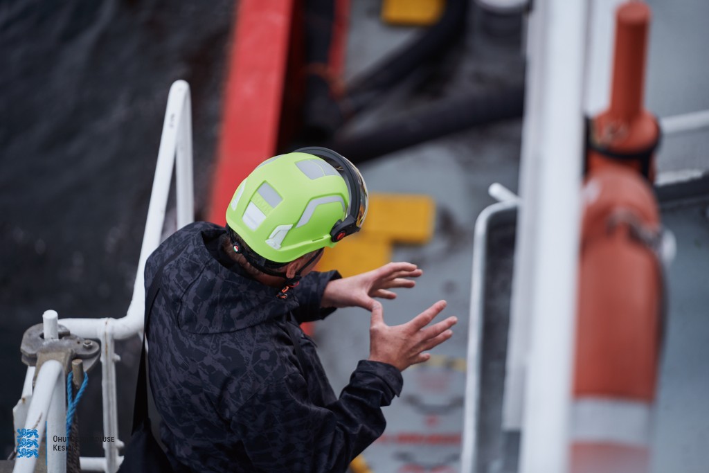
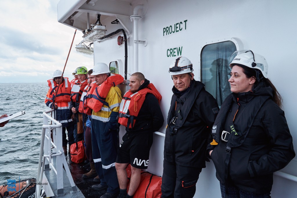
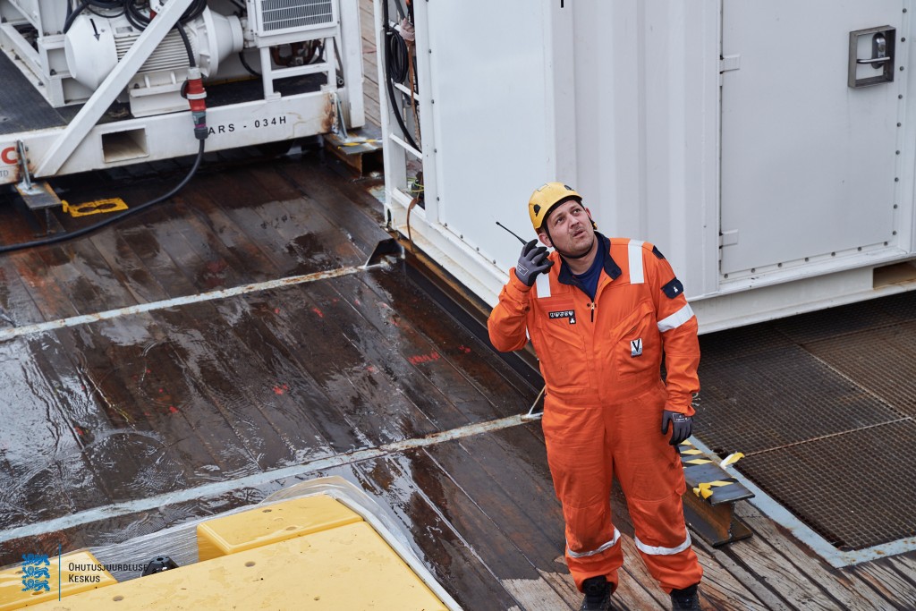
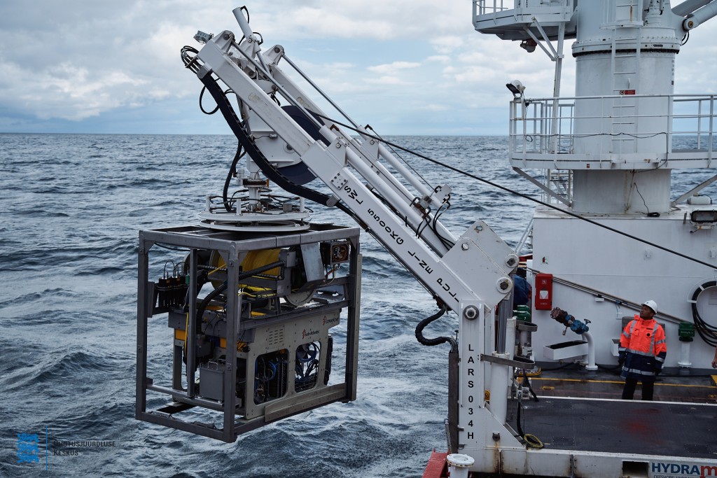
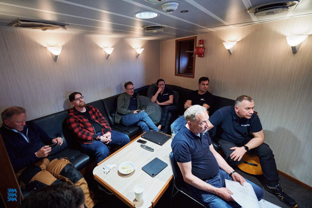
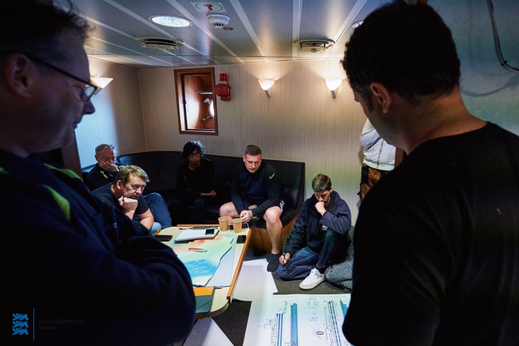
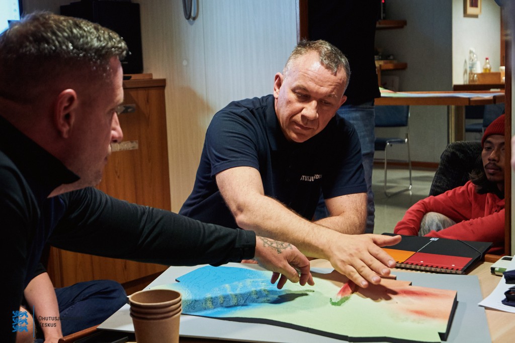
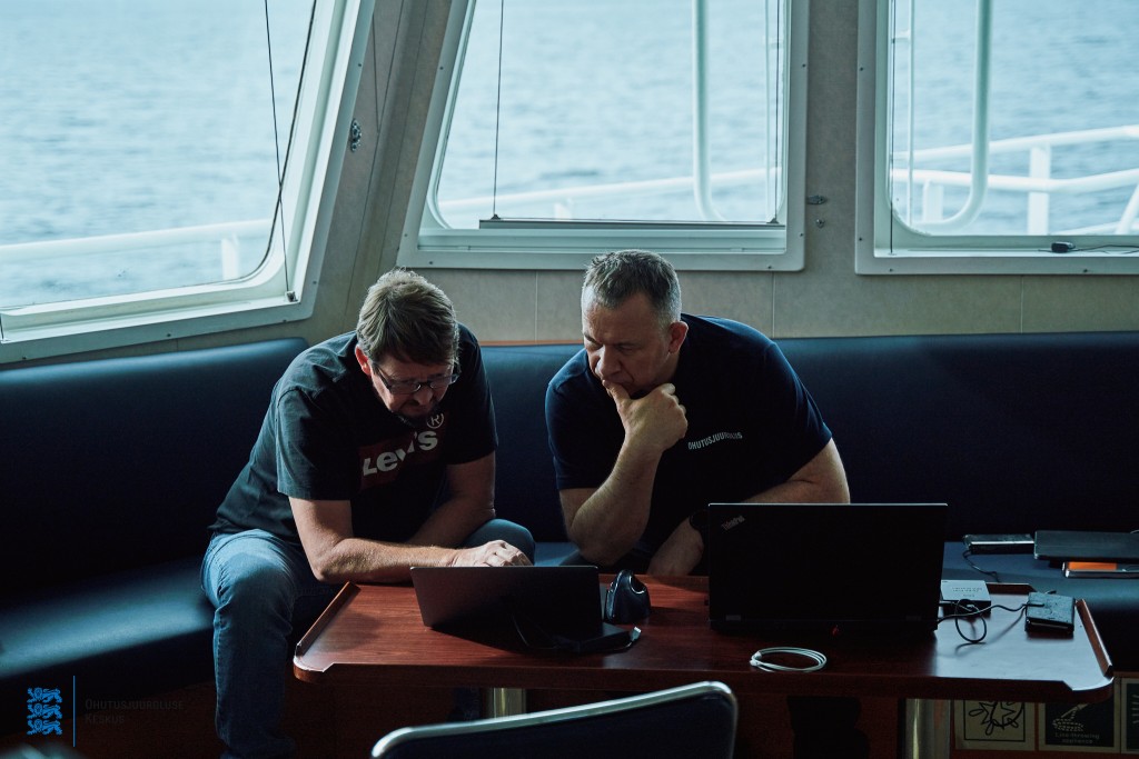
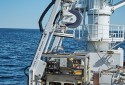
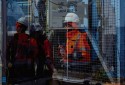
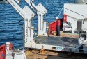
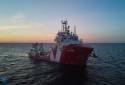
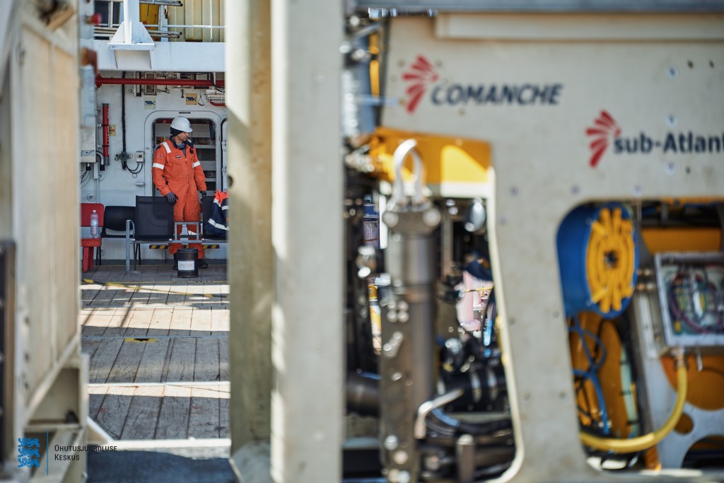
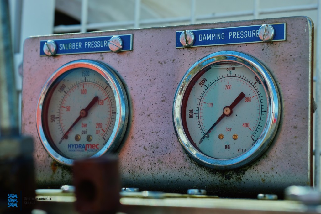
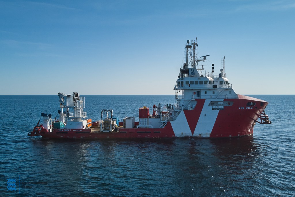
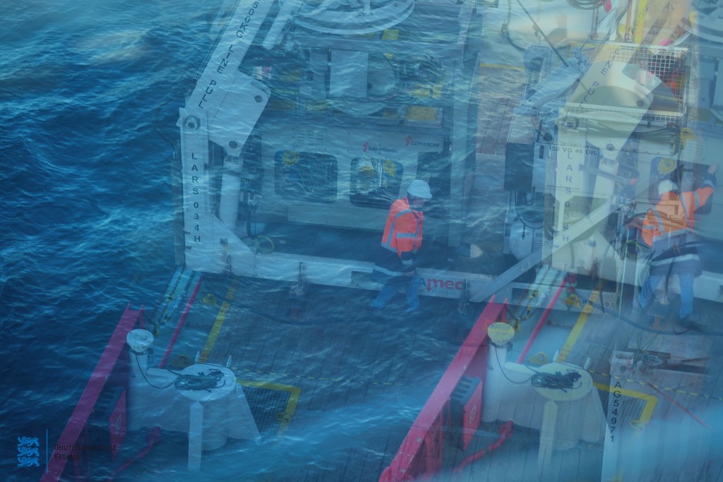
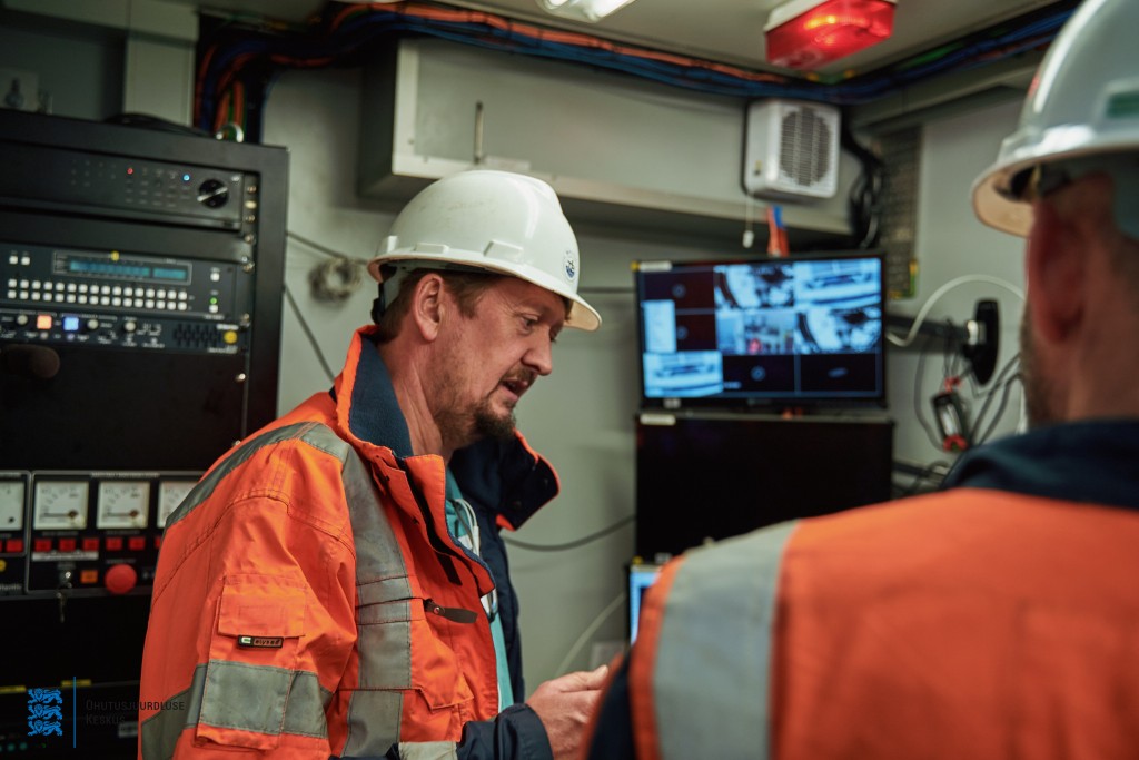
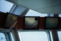
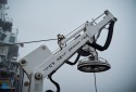
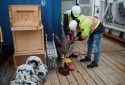
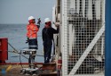
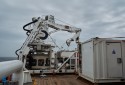
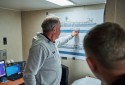
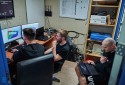
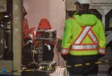
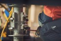
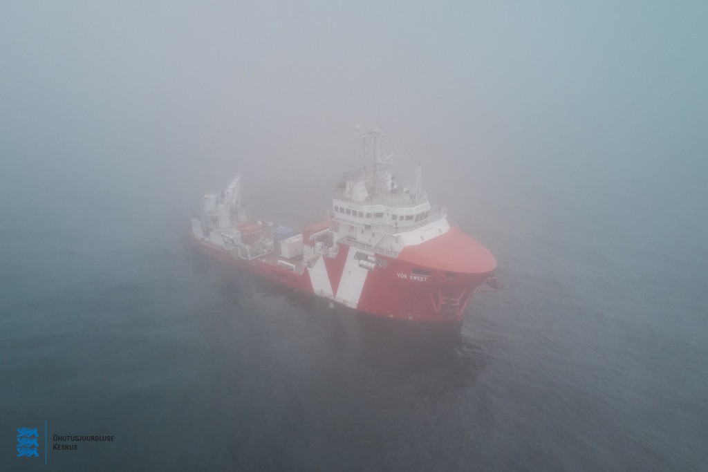
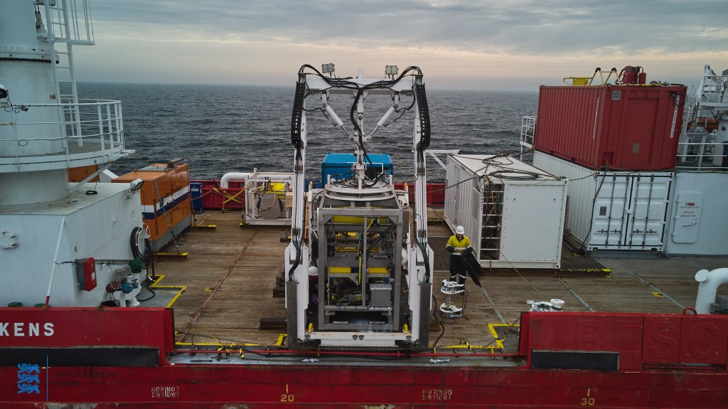
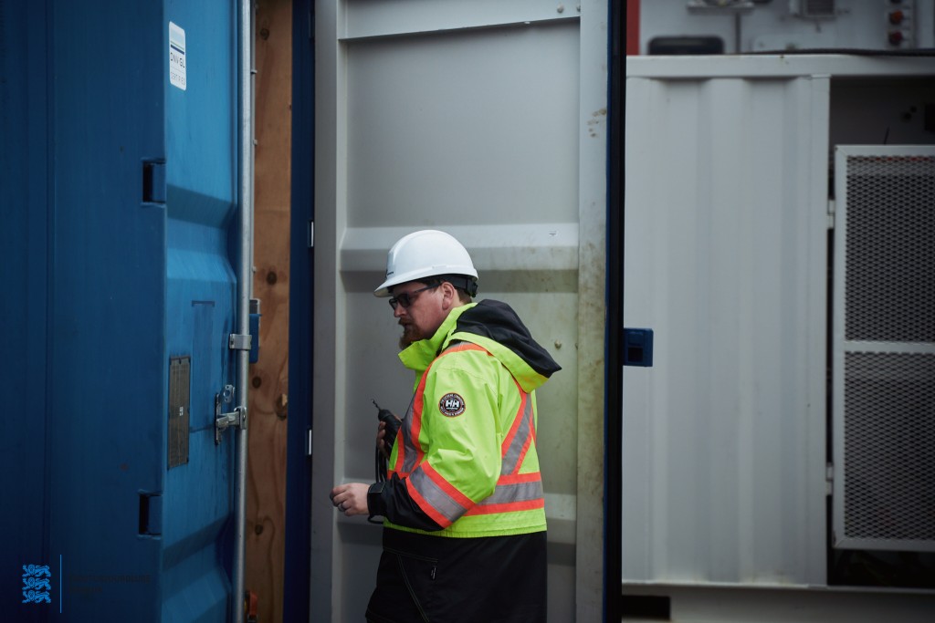
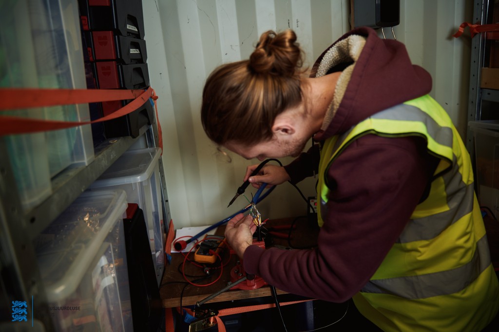
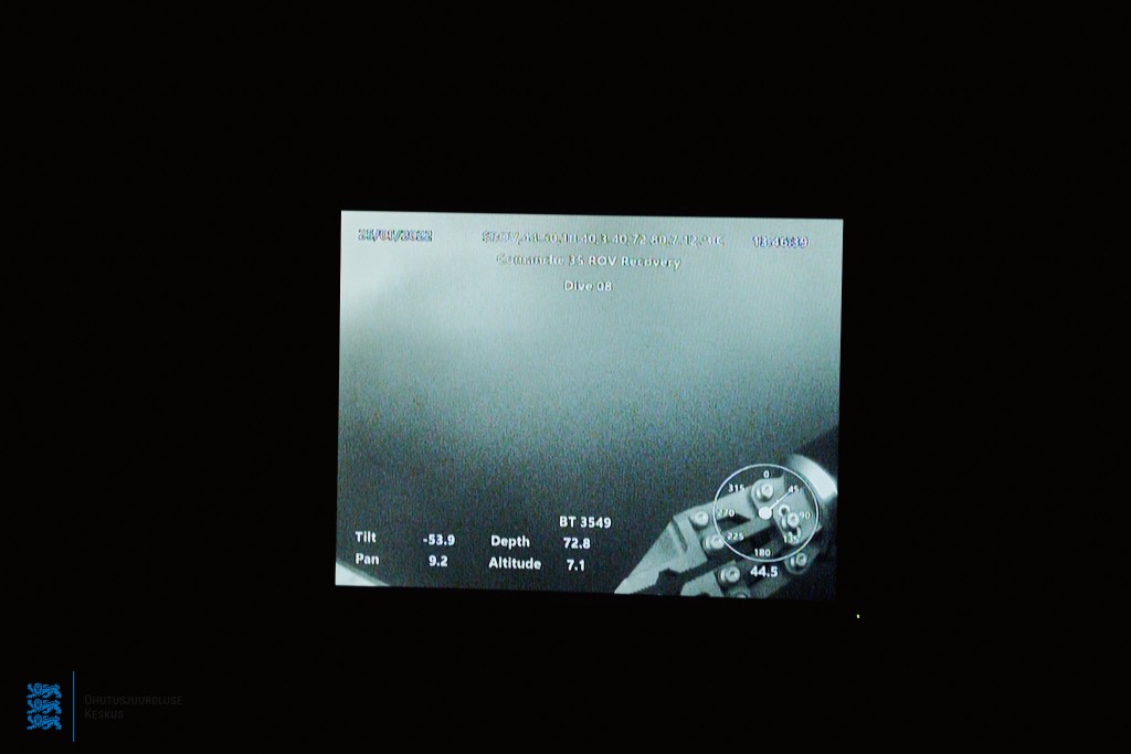
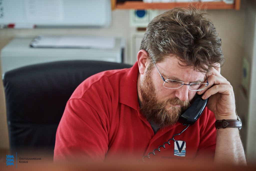
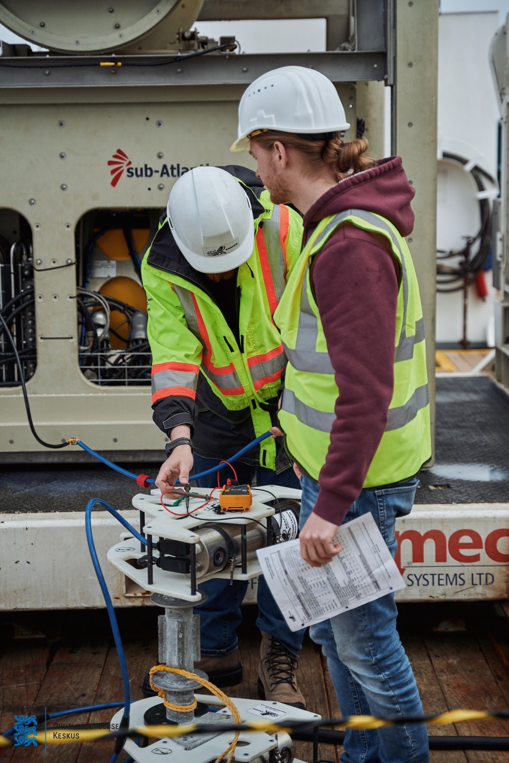
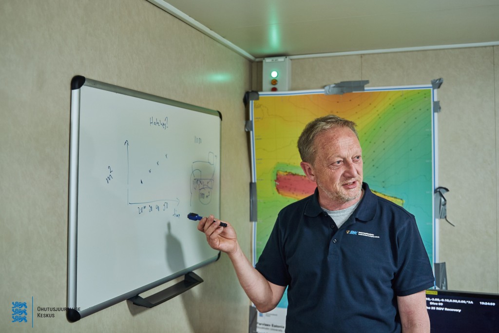
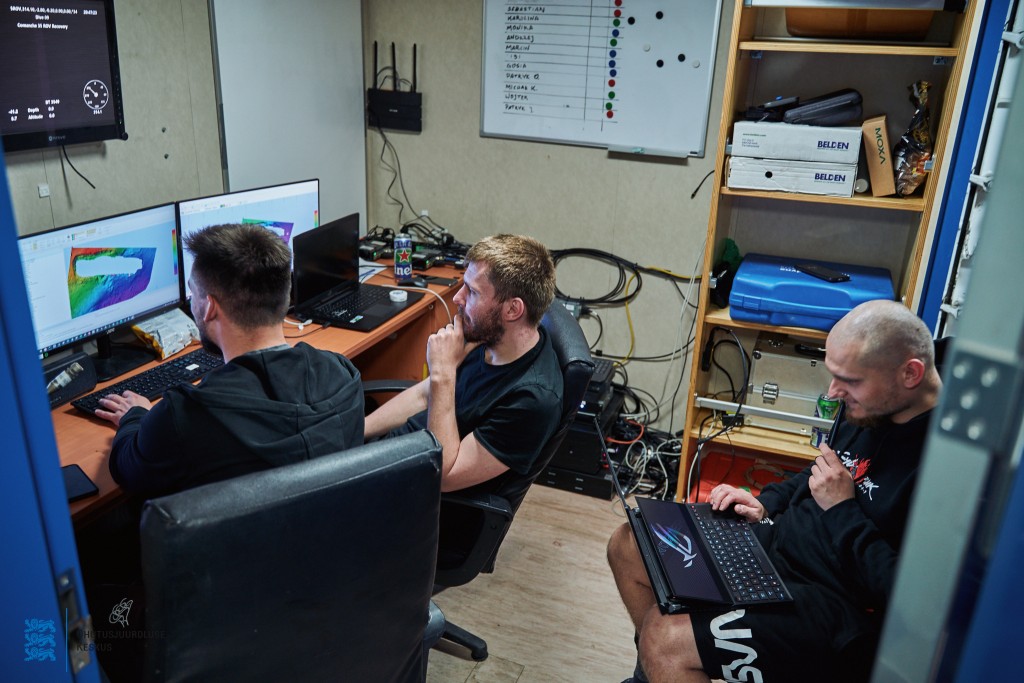
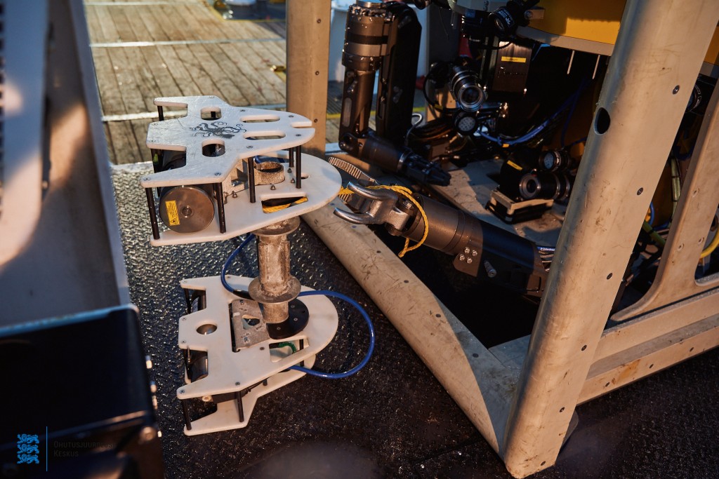
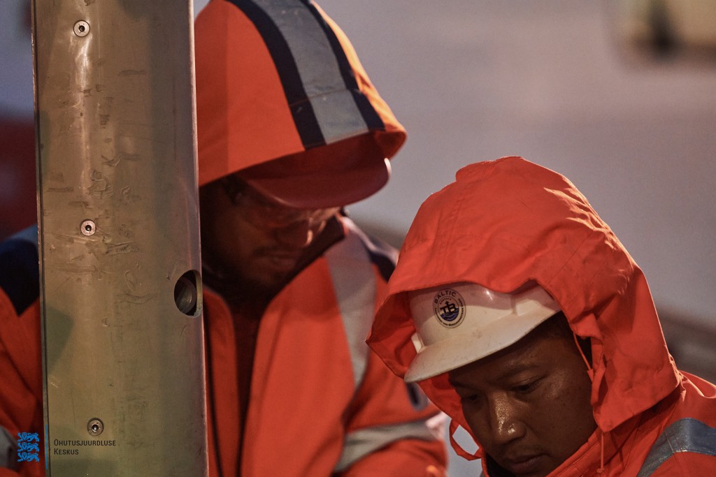
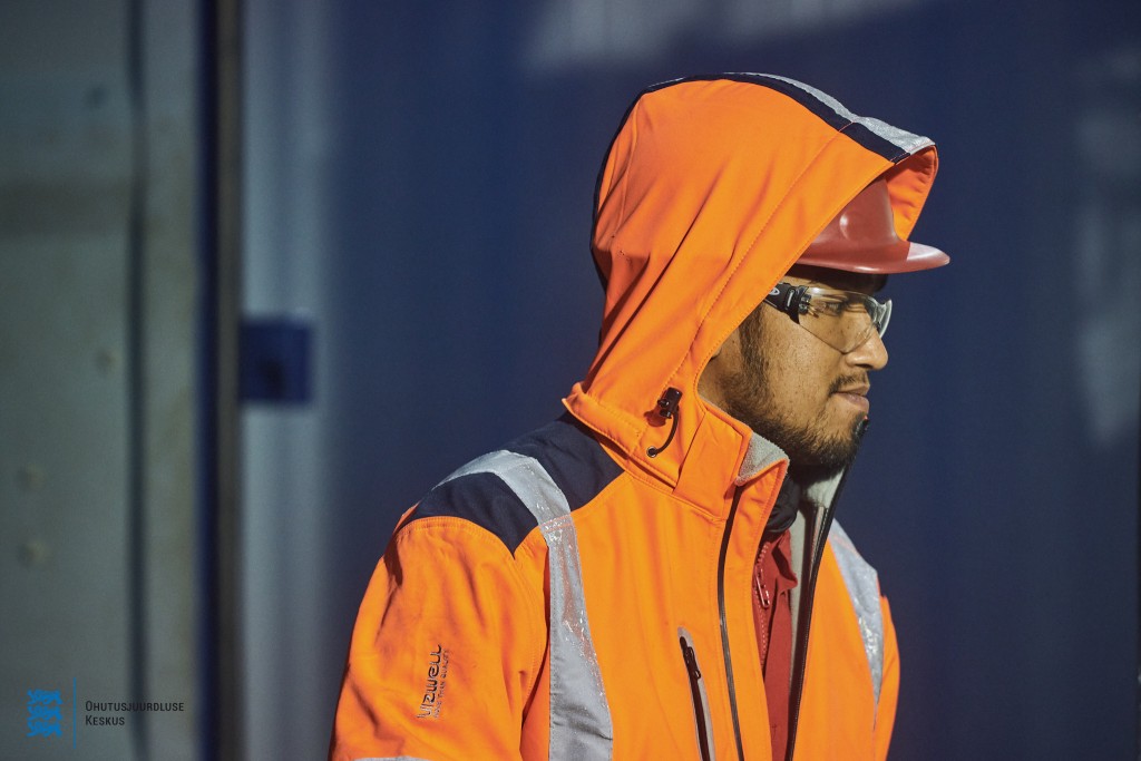
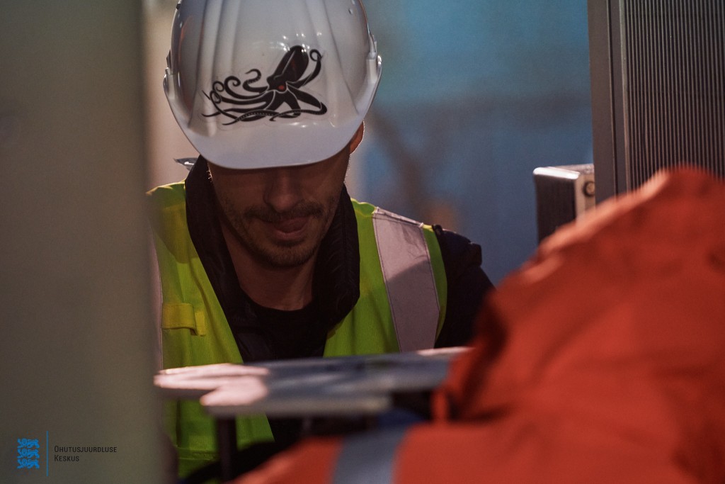
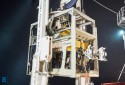
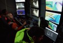
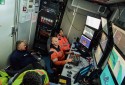
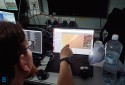
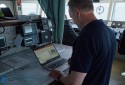
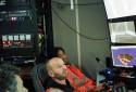
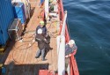
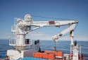
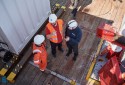
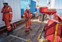
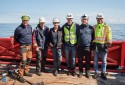
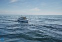
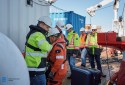
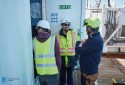
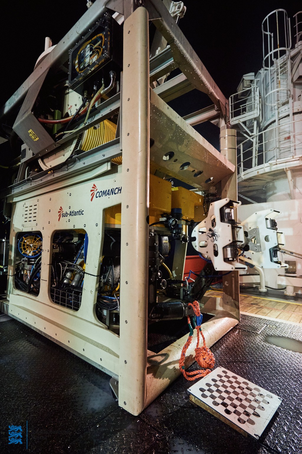
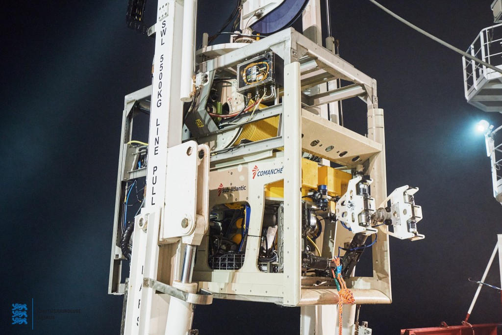
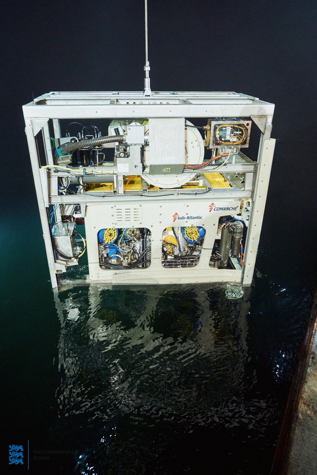
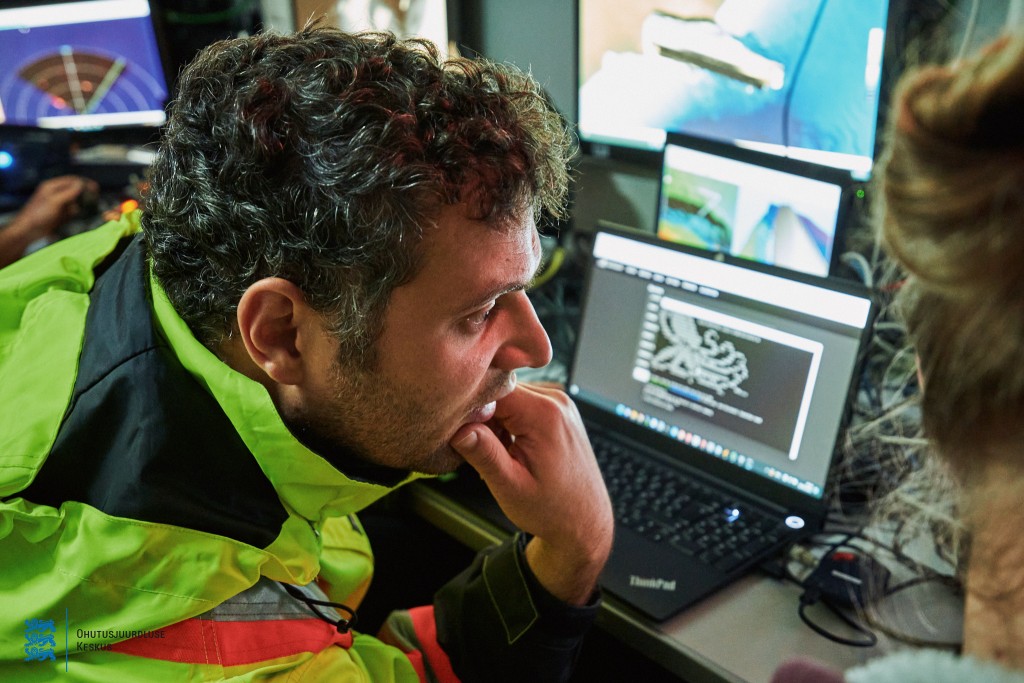
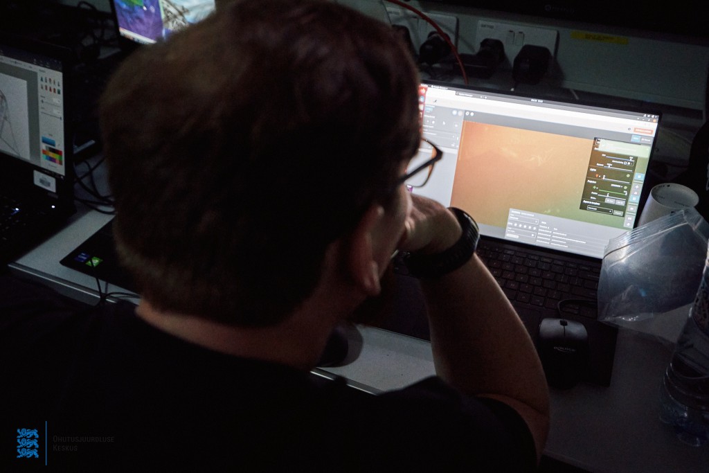
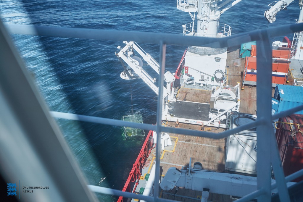
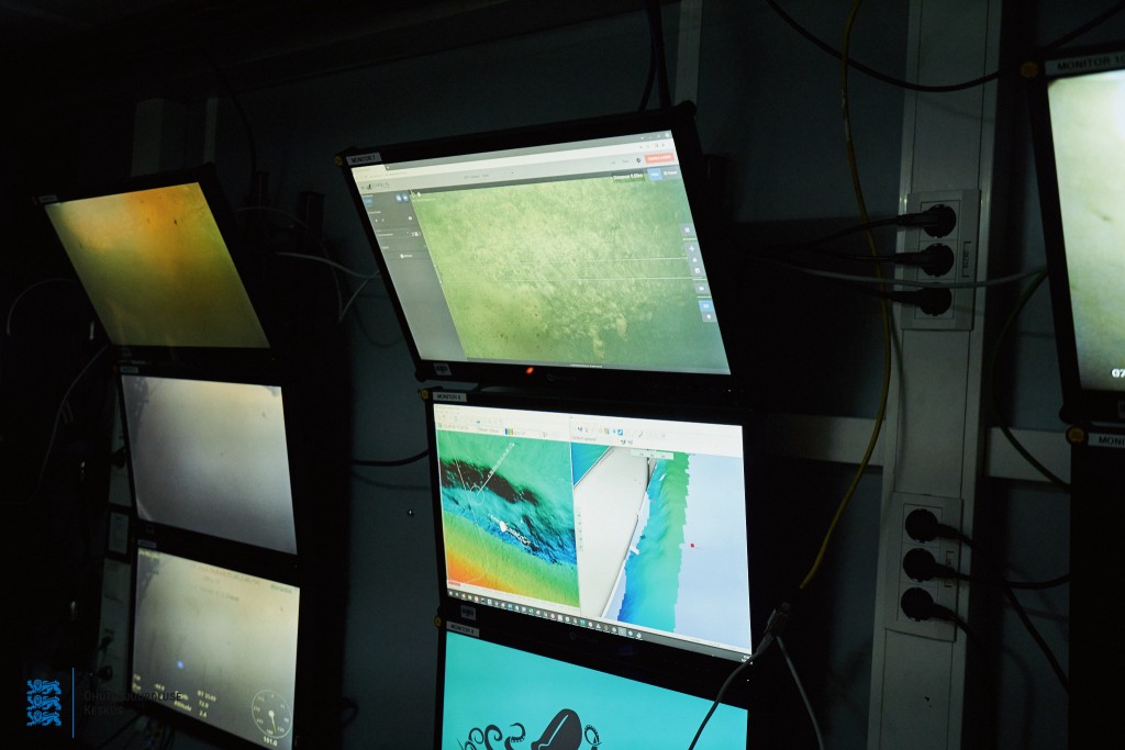
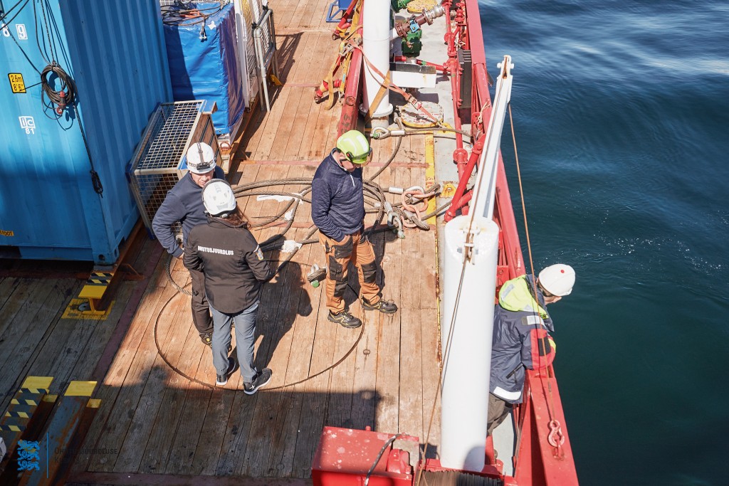
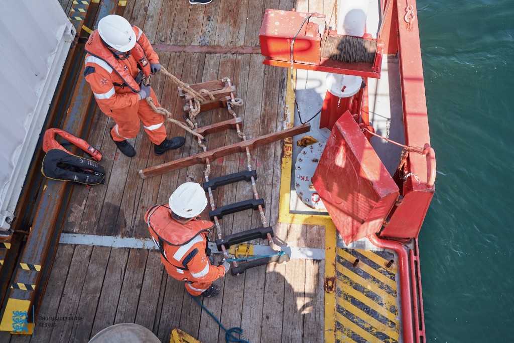
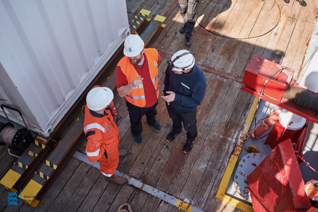
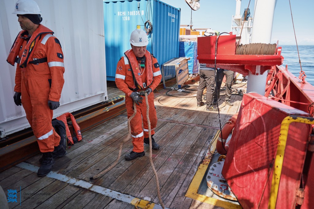
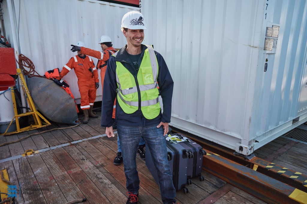
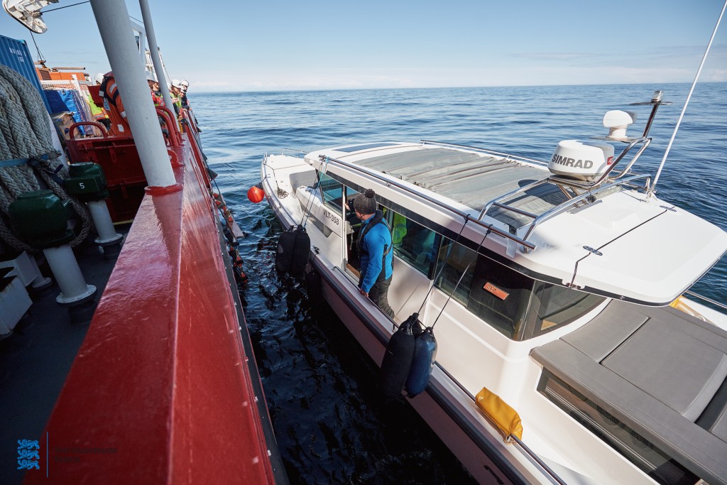
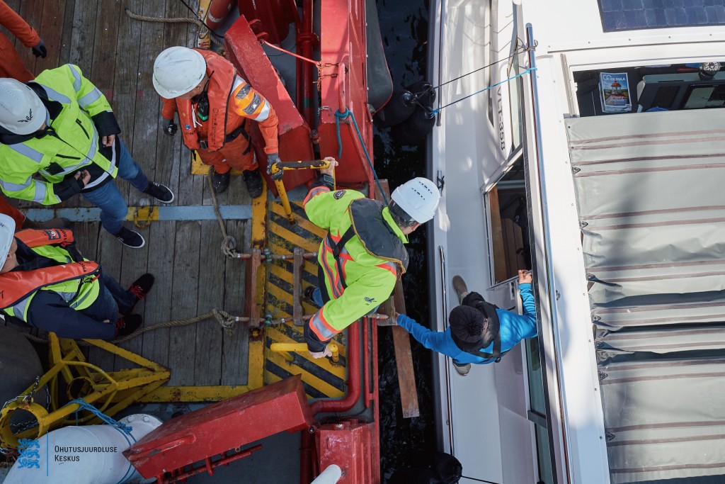
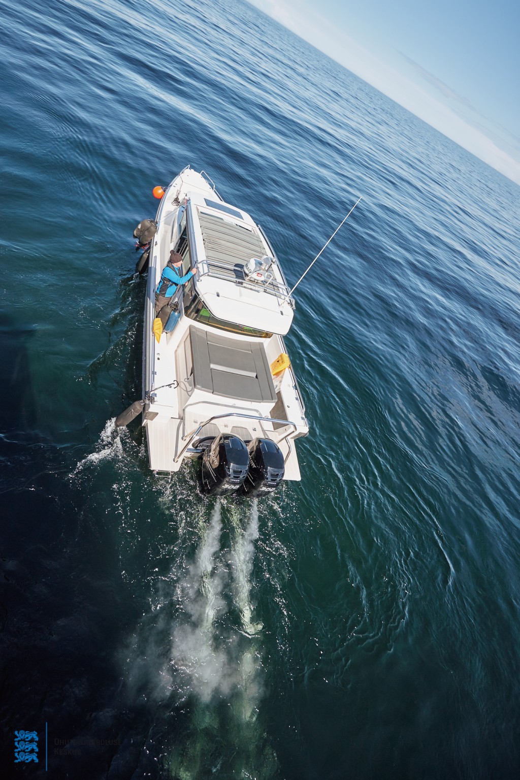
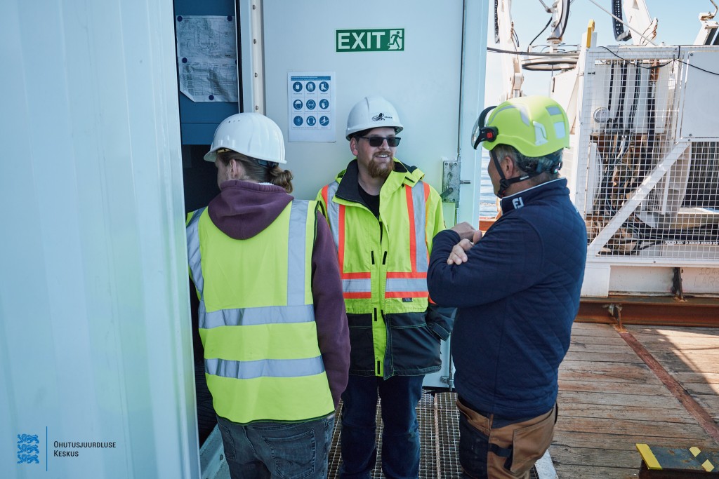
3D laser scanning survey 24.05.2022 (Photographer Andi Kokk)


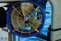


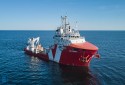


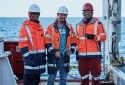

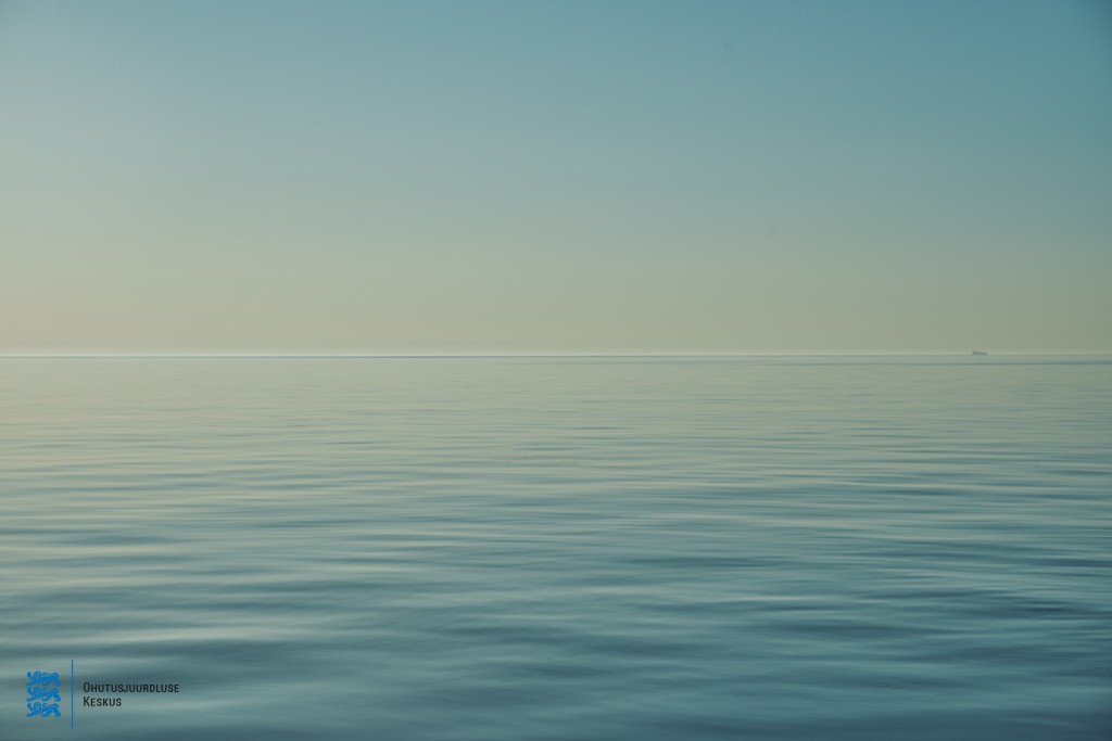

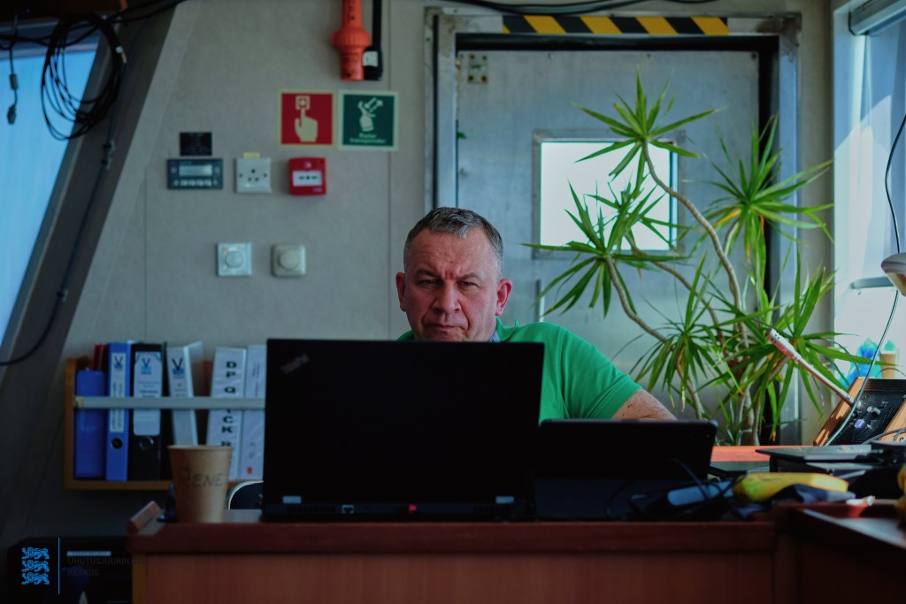
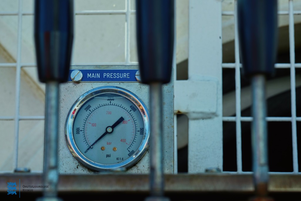

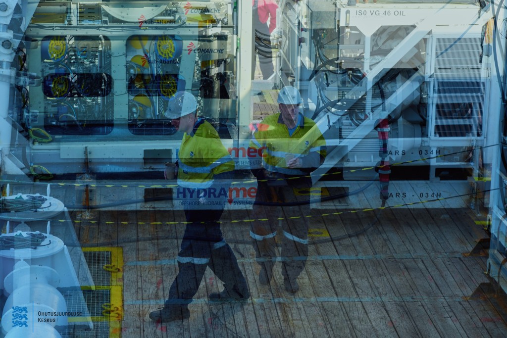
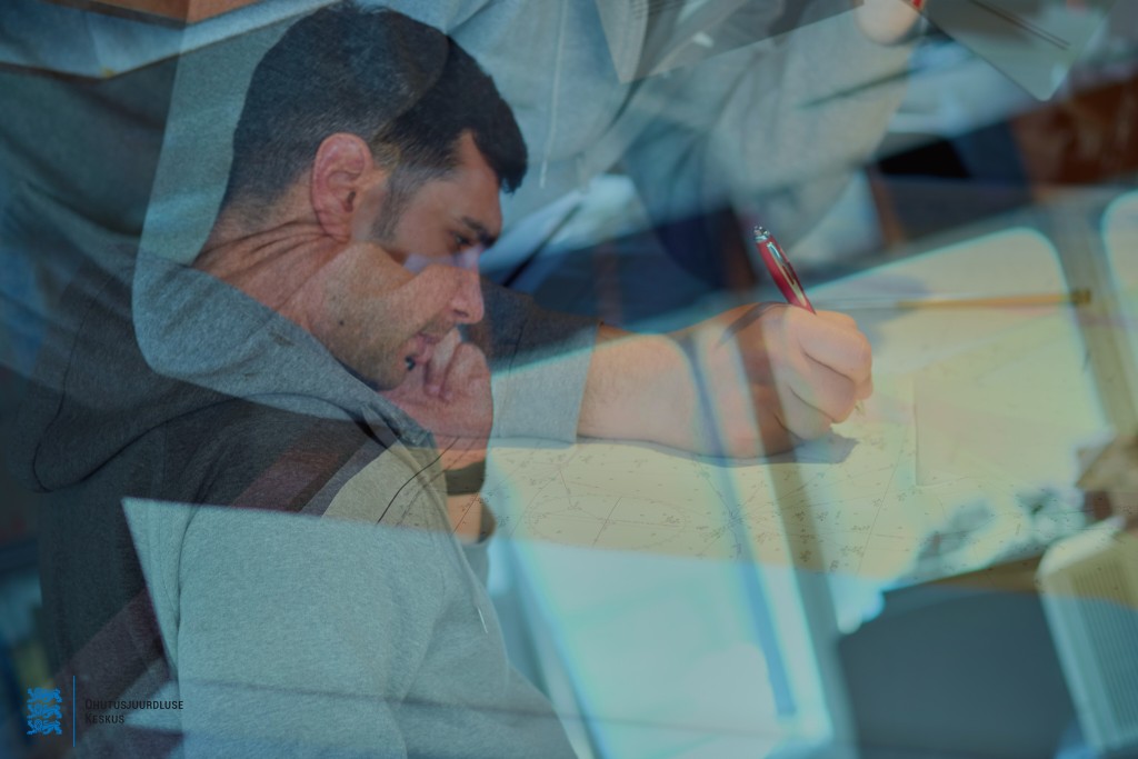

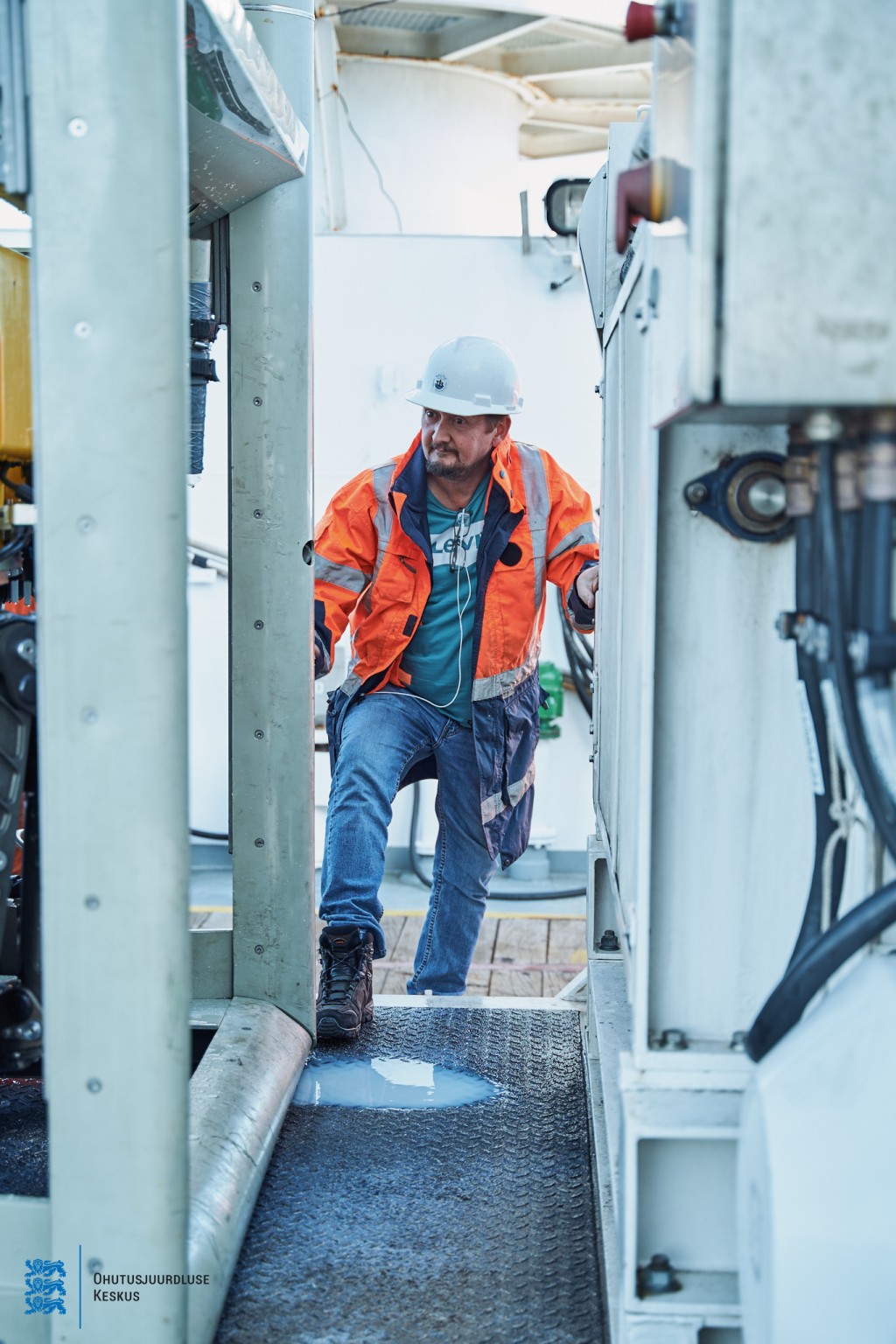
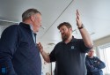
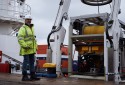
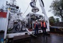
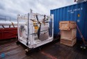
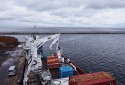
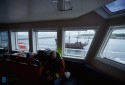
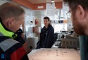
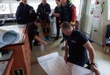
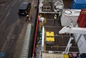
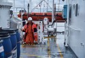
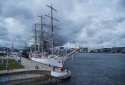
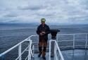
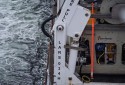
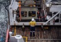
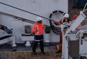
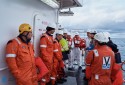
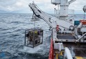
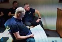
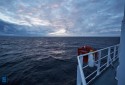
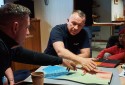
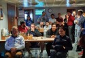
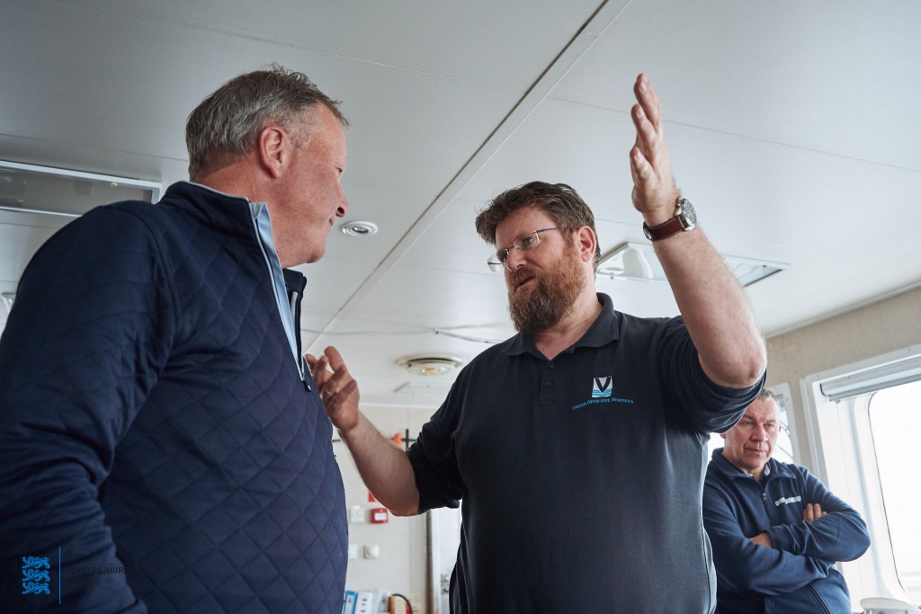
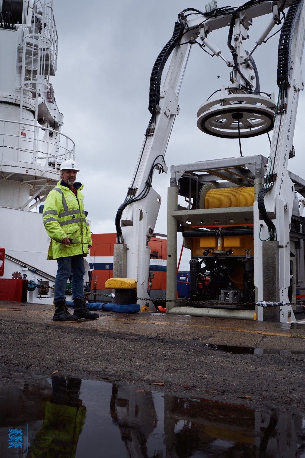
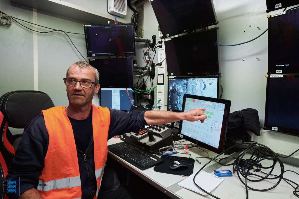
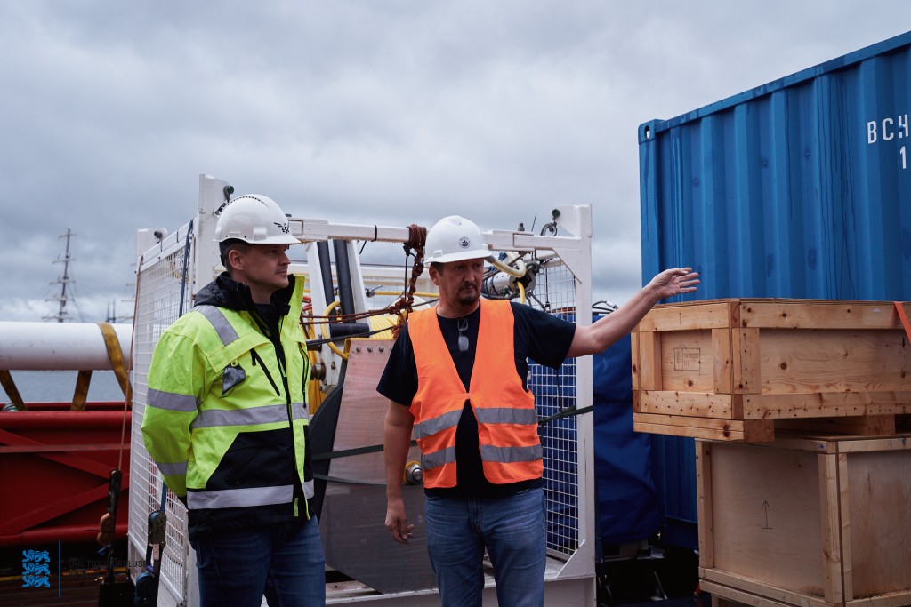
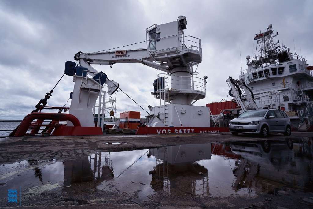
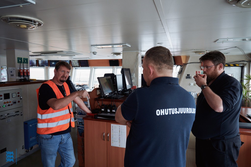
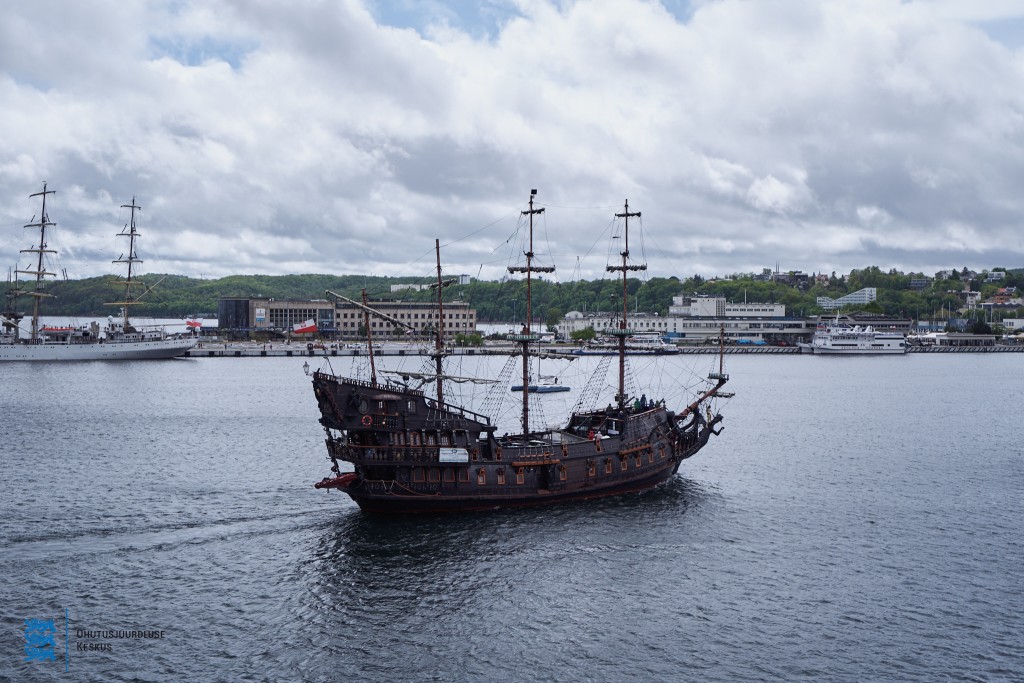
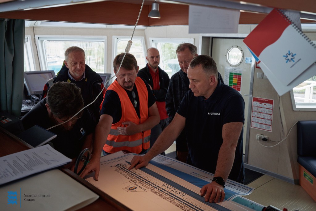
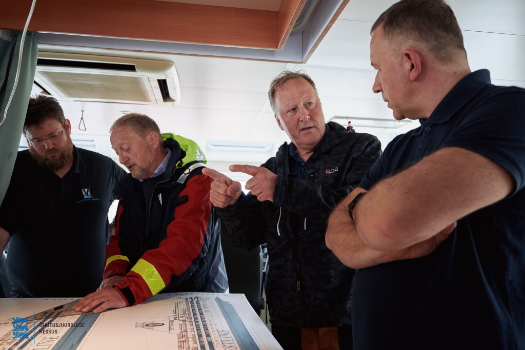
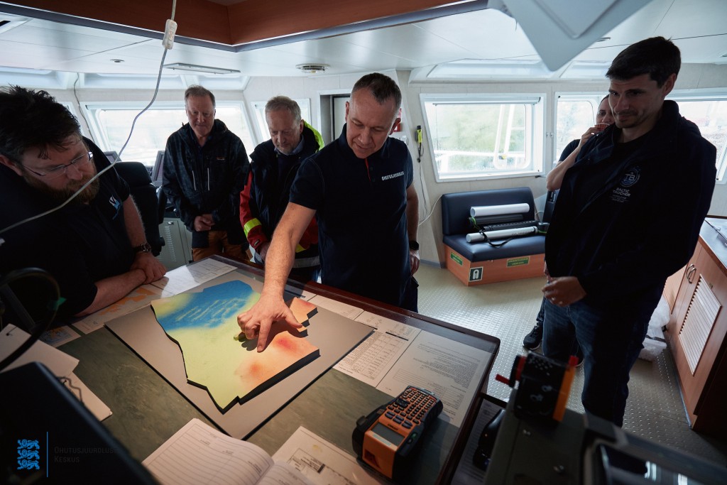
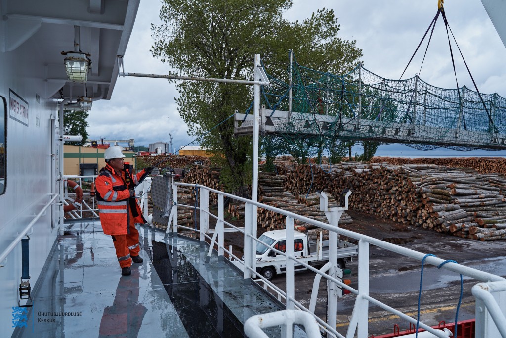
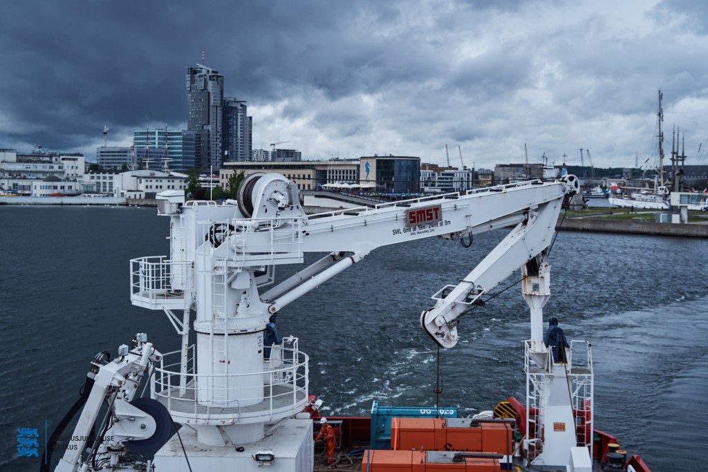
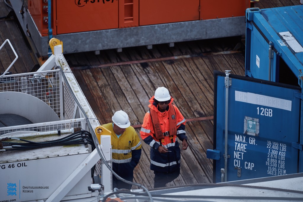
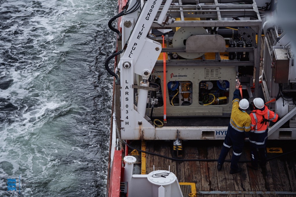
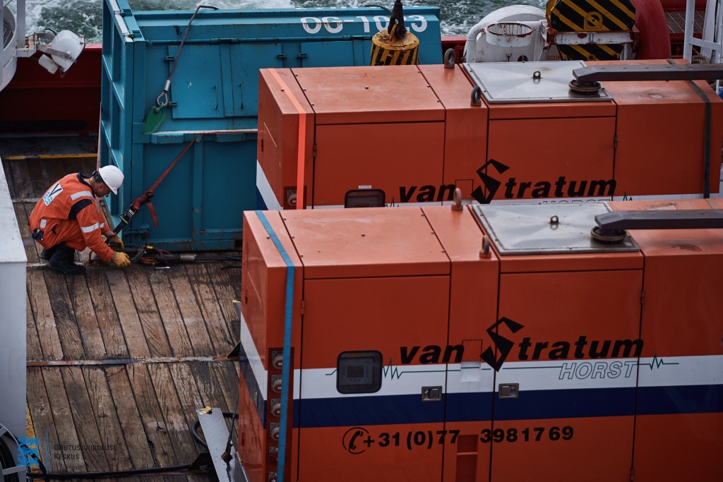
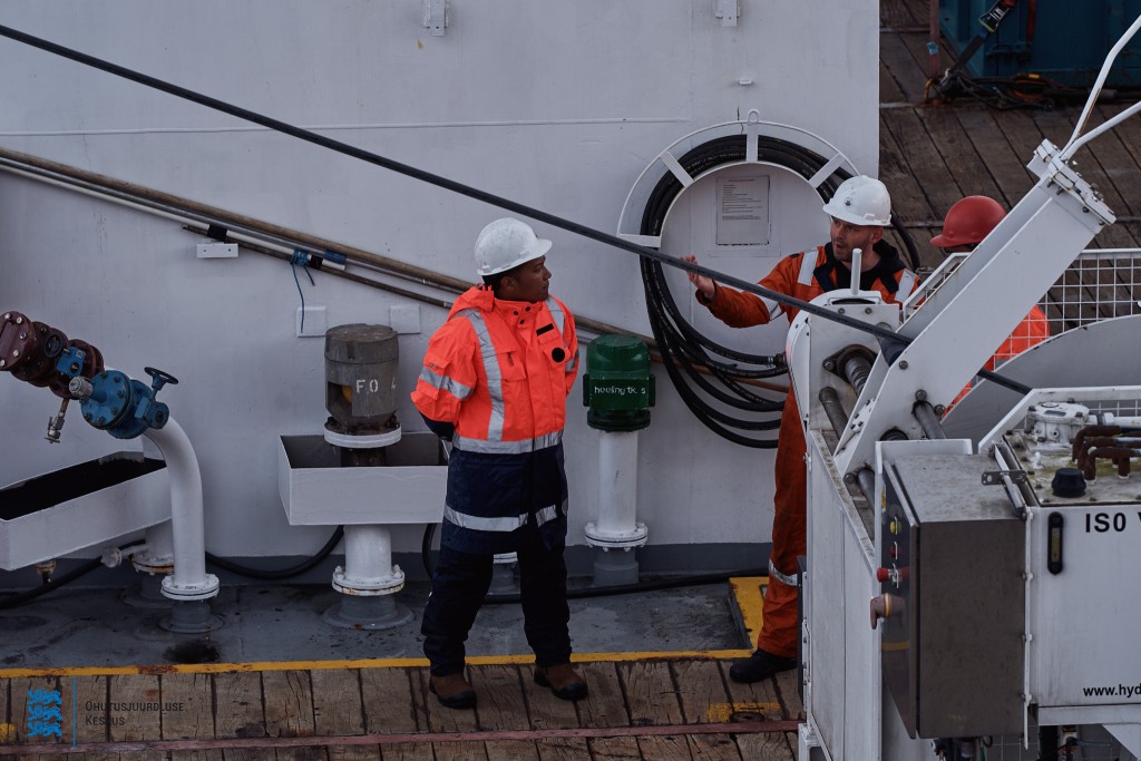
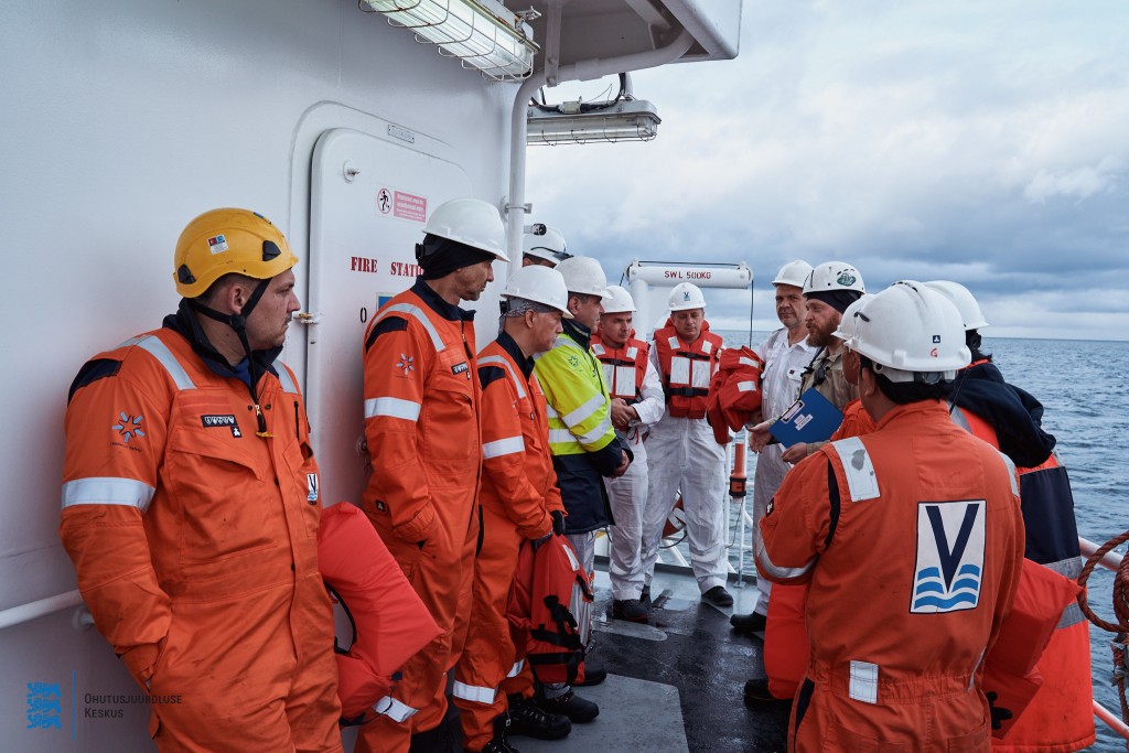
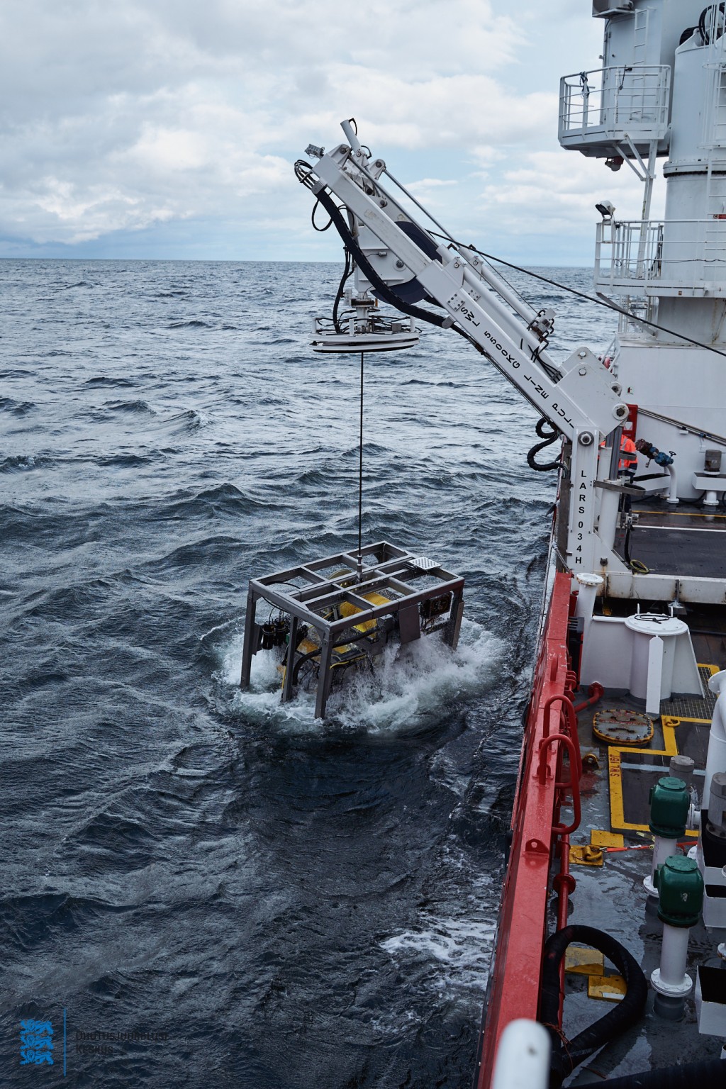
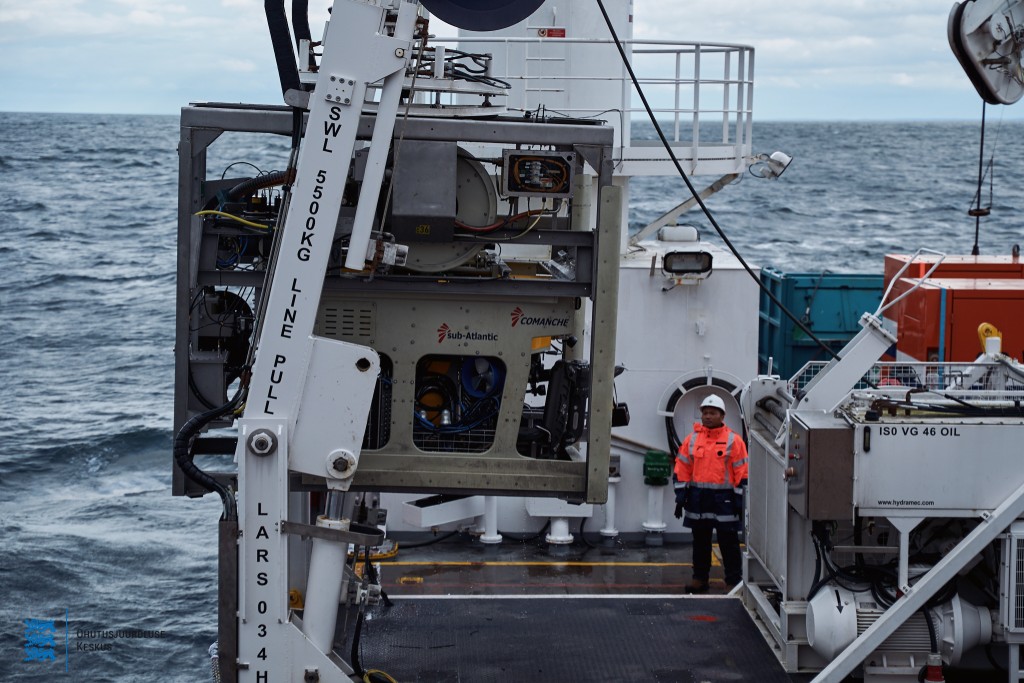
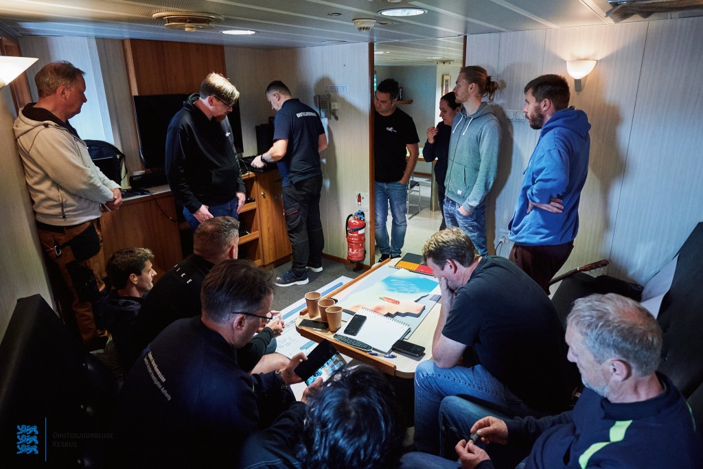
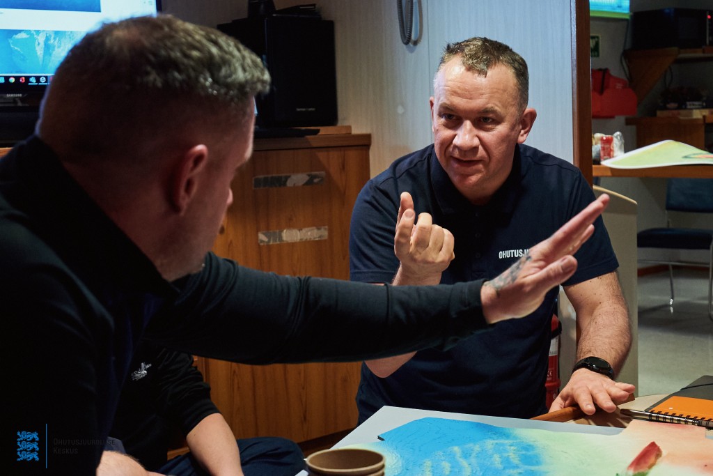
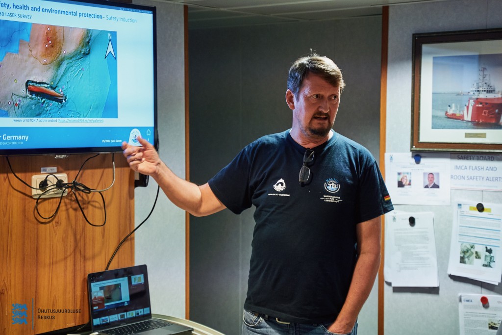
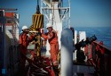
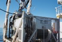
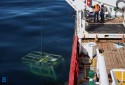
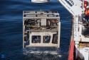
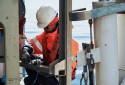
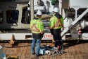
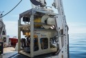
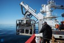
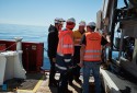
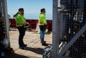
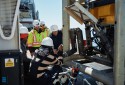
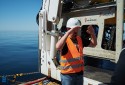
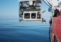
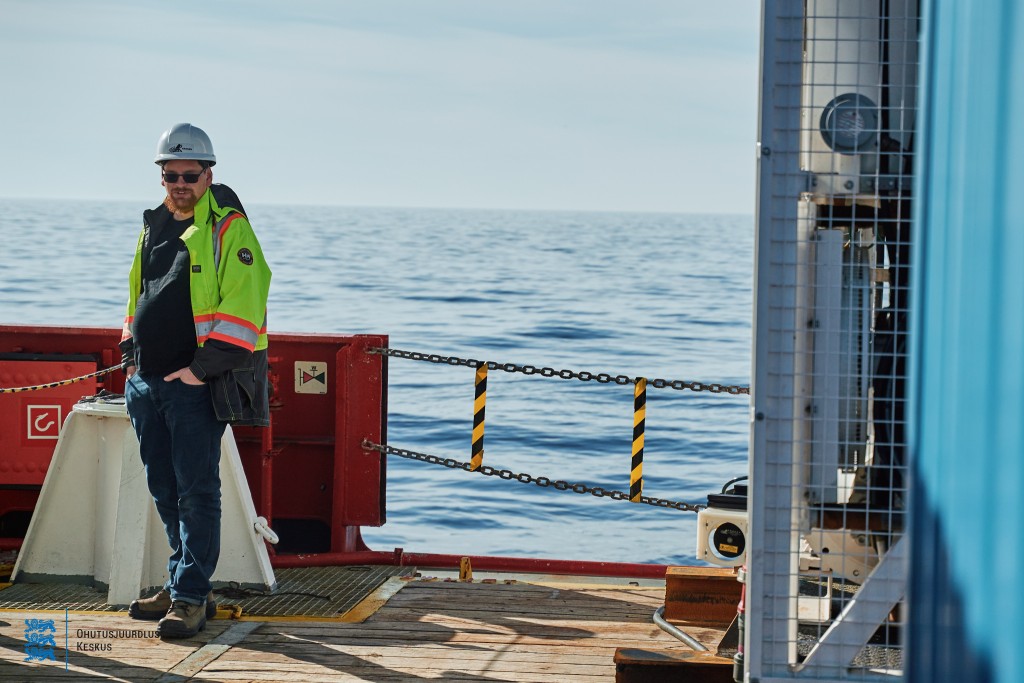
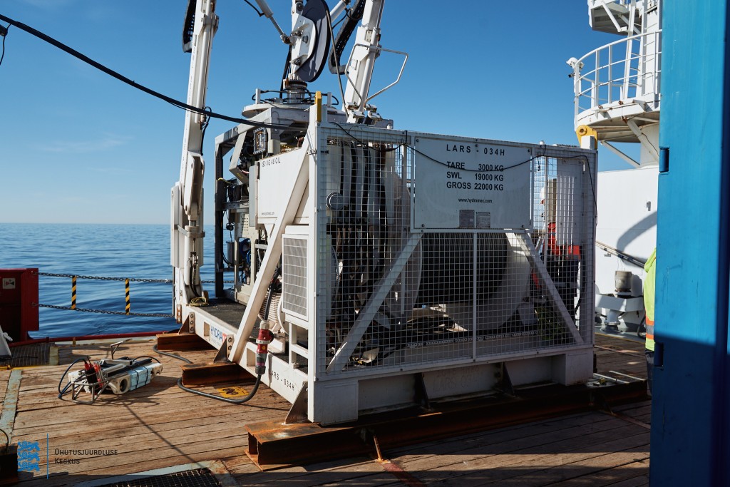
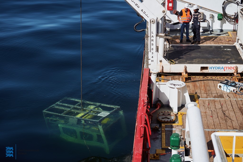
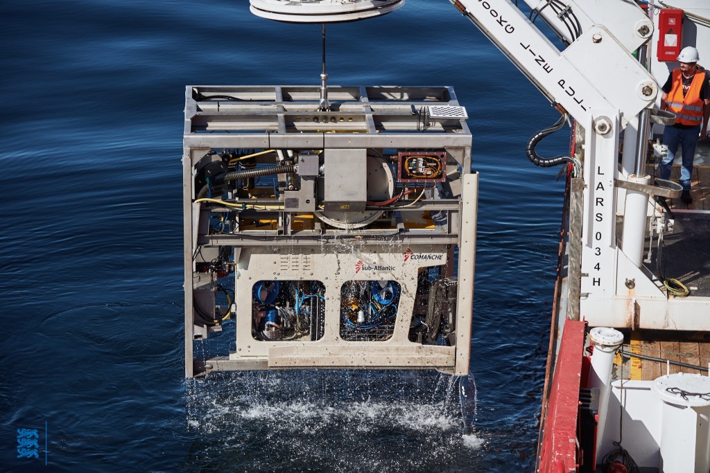
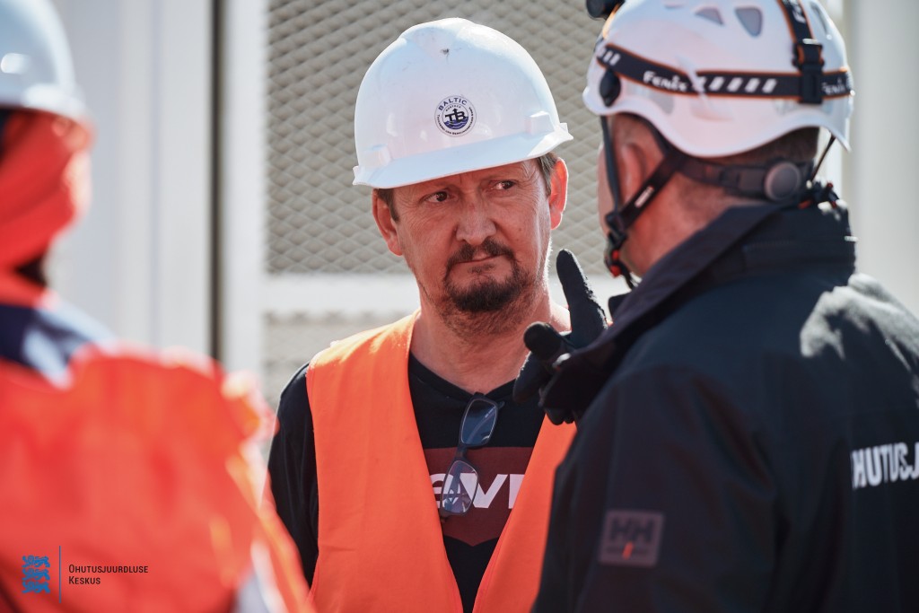
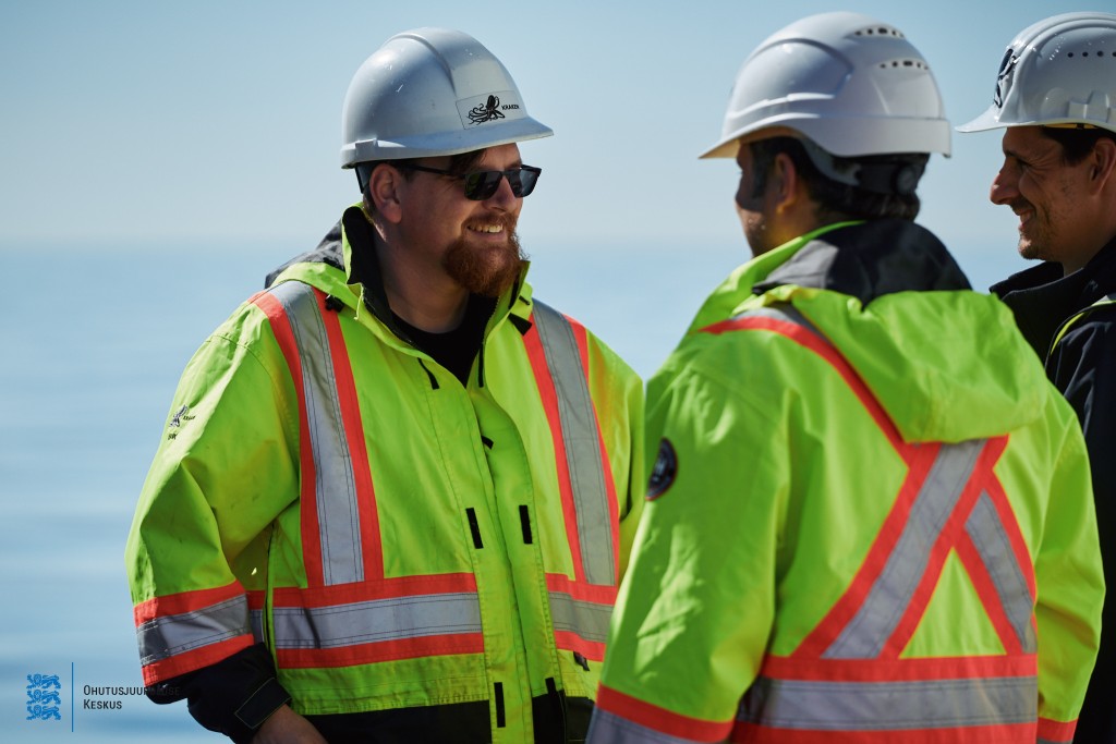
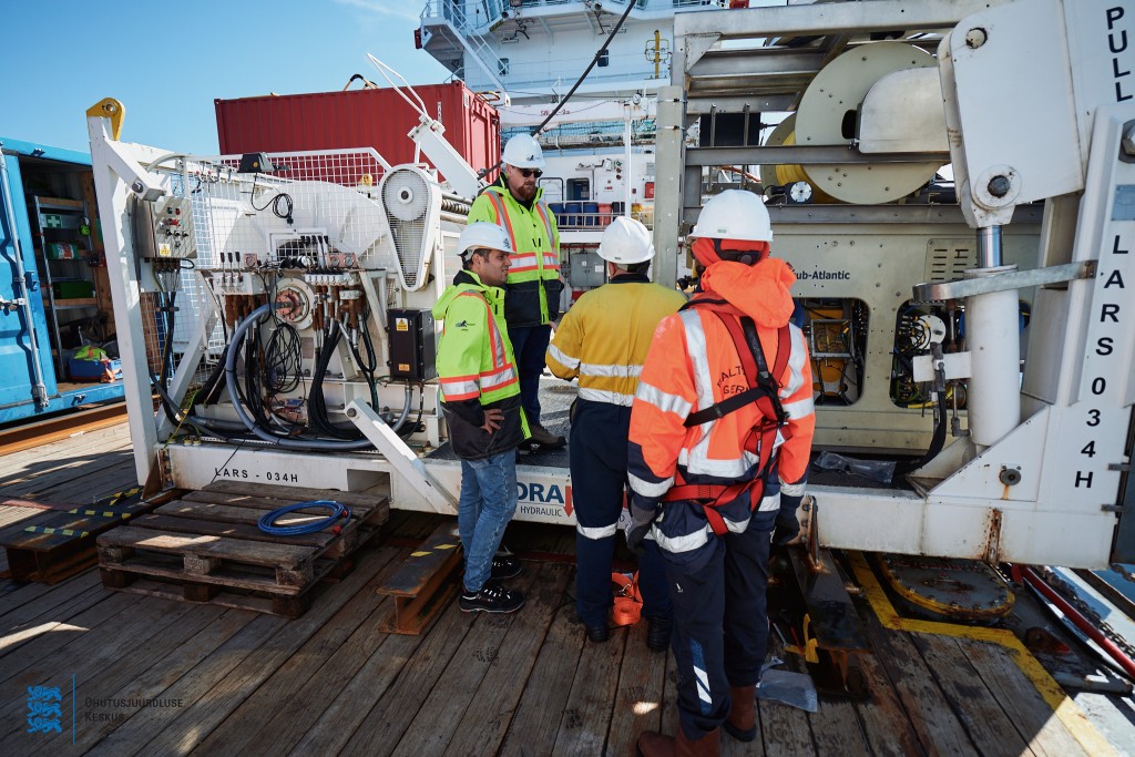
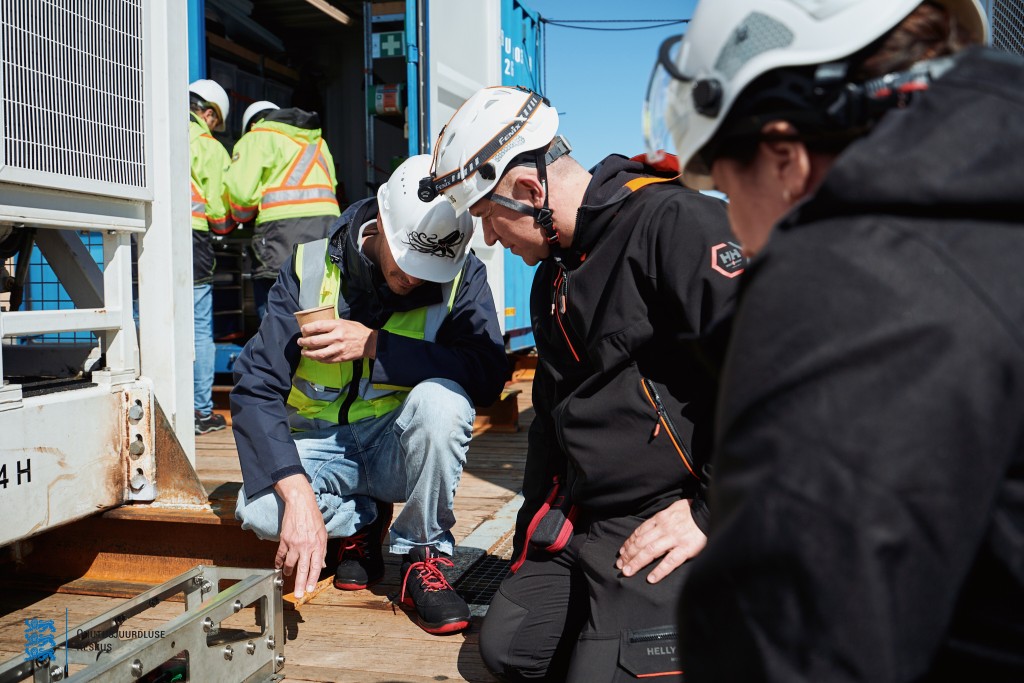
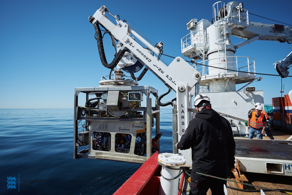
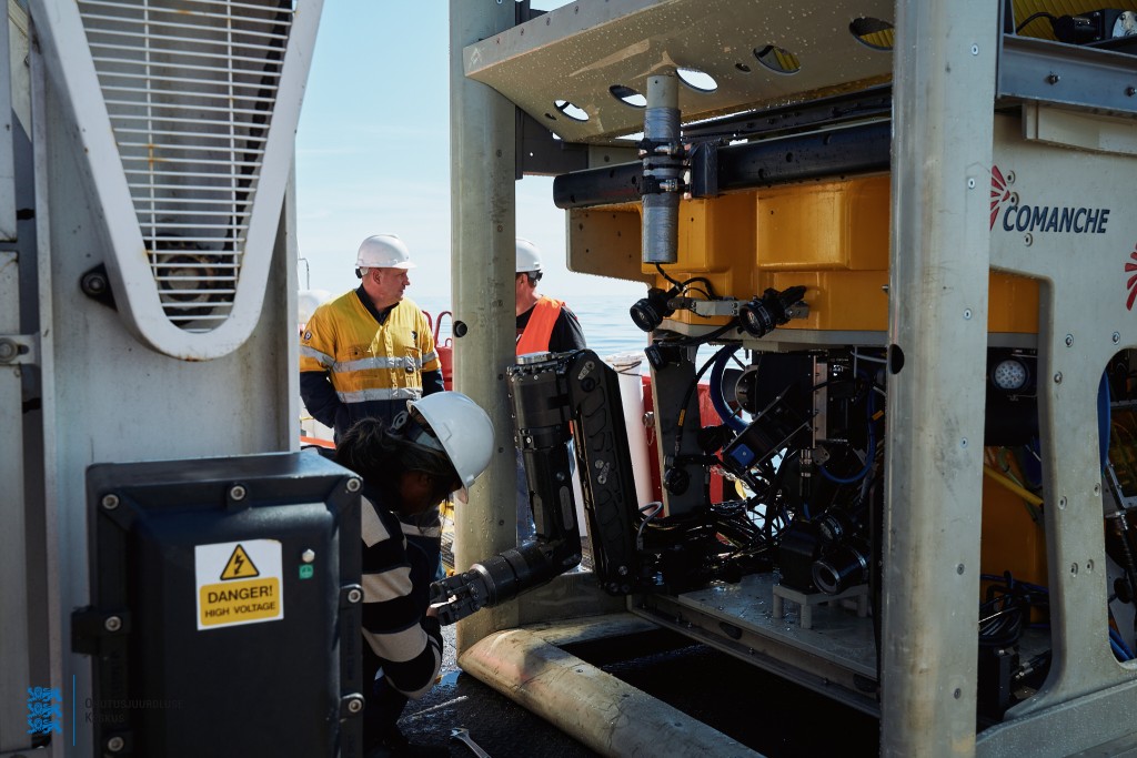
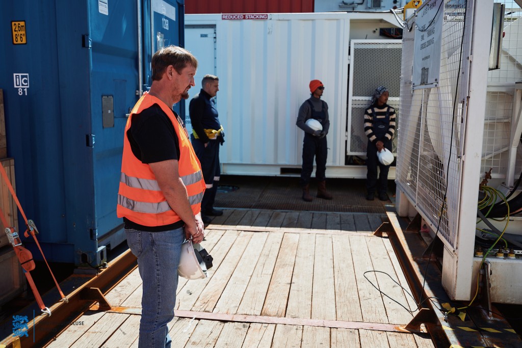
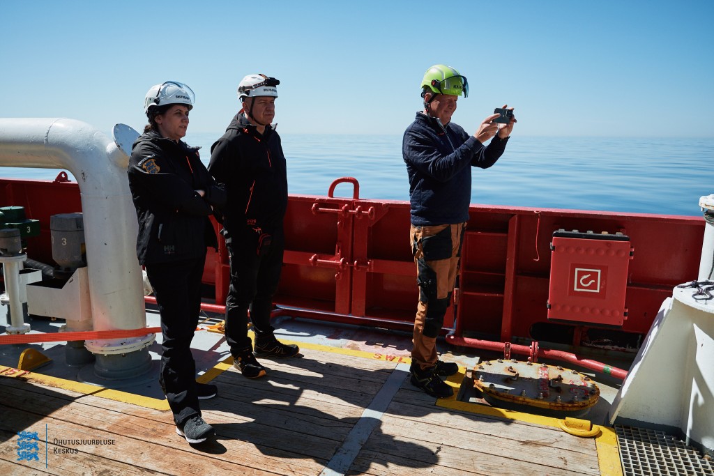
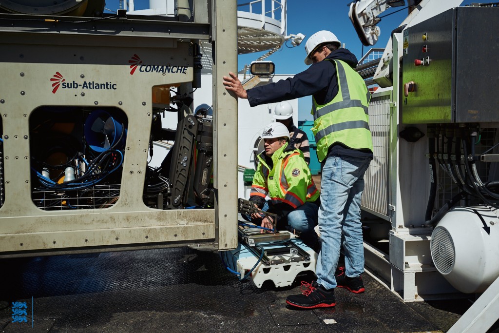
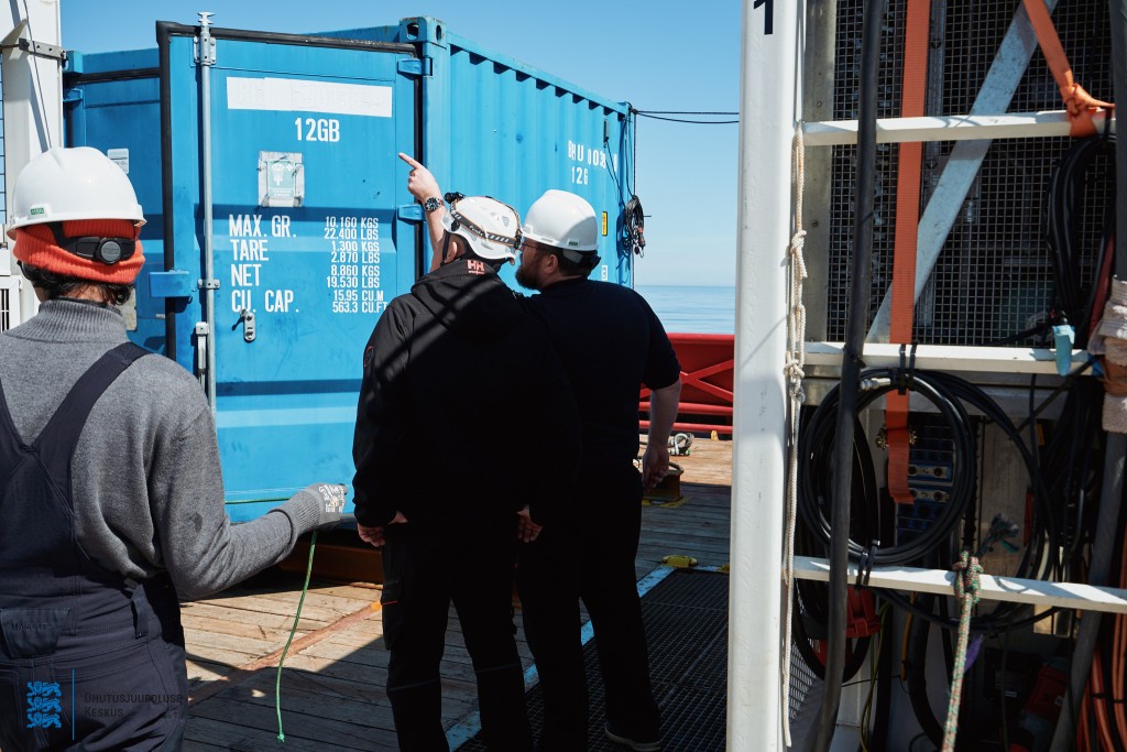
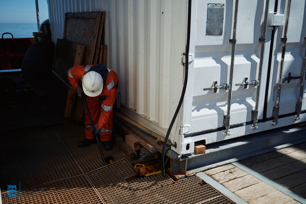
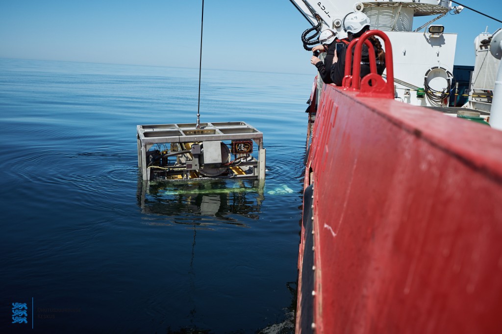
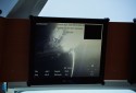
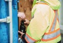
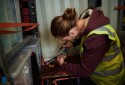
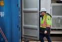
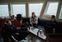
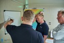
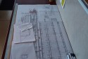
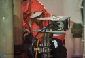
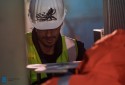
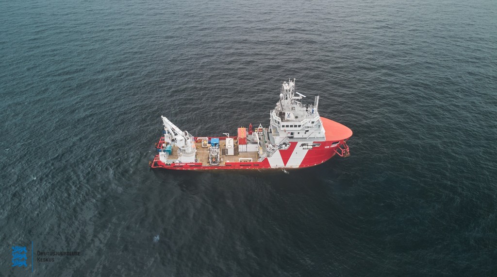
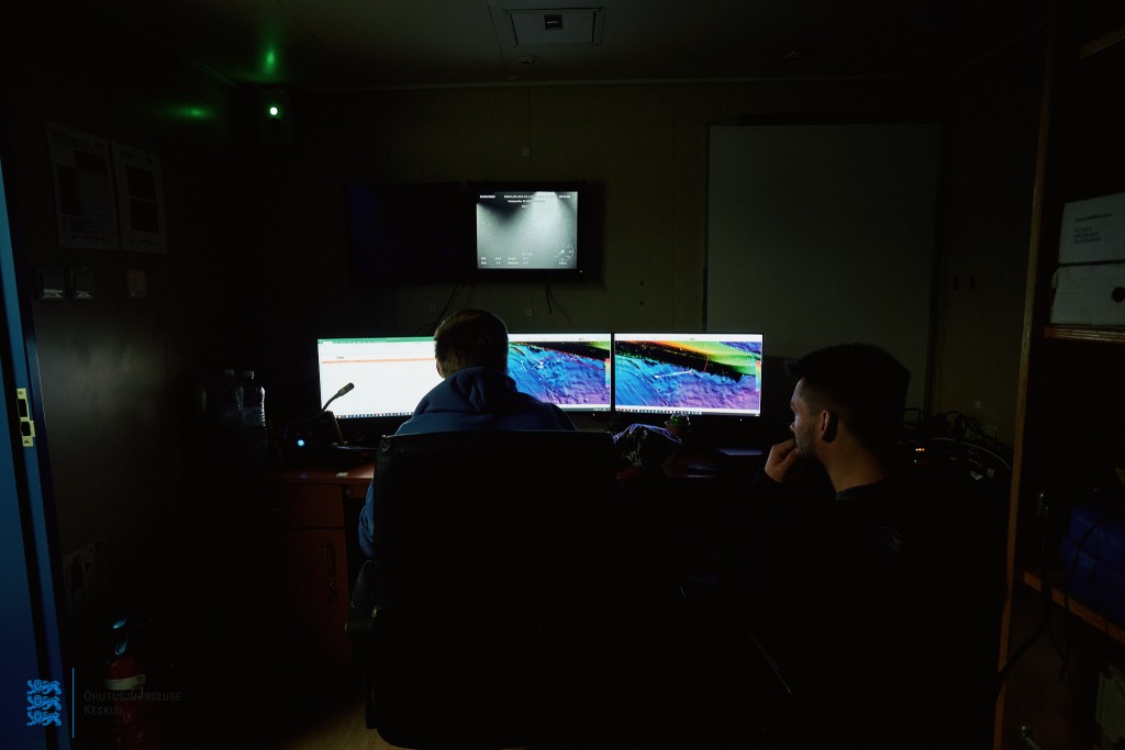
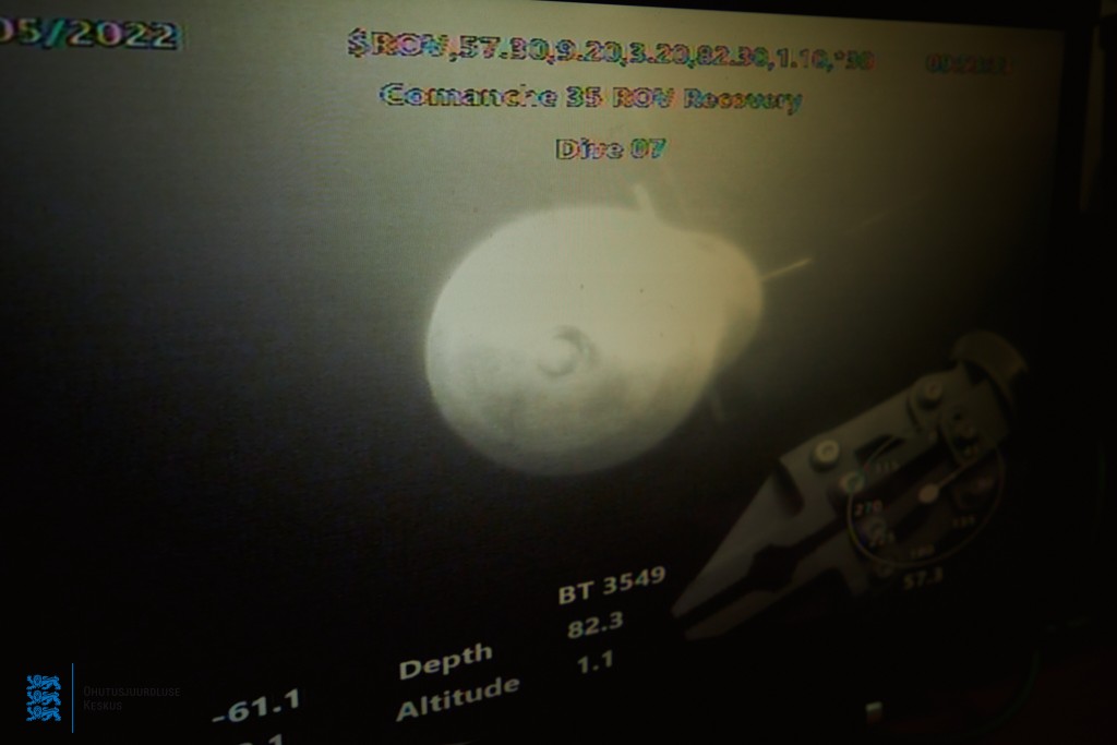
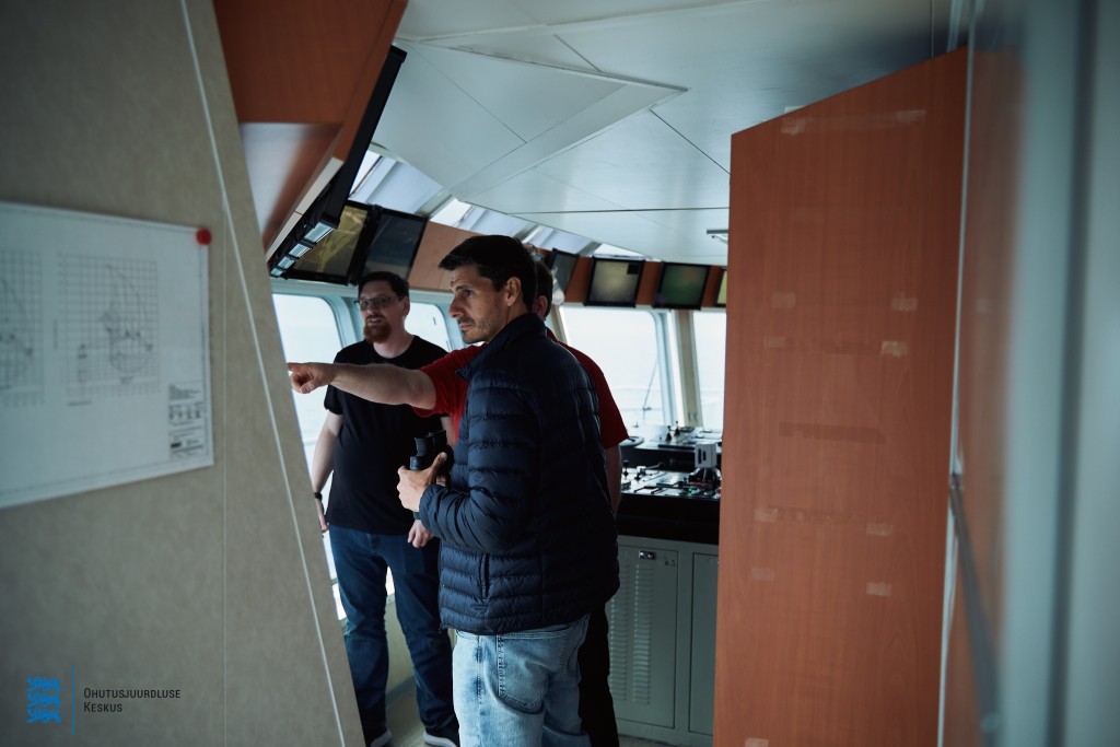
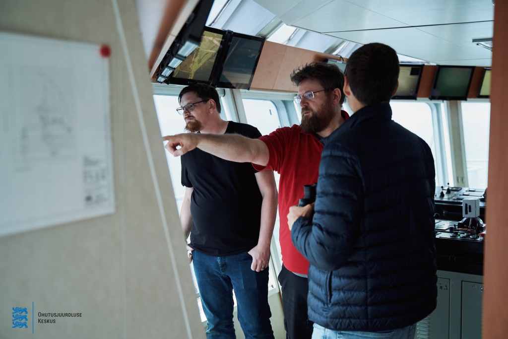
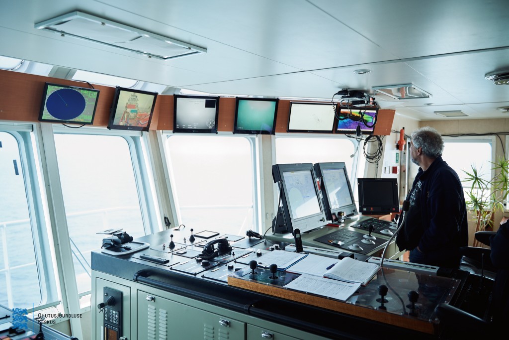
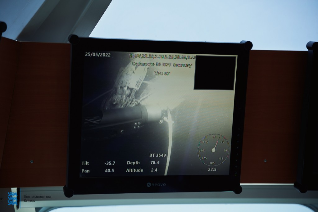
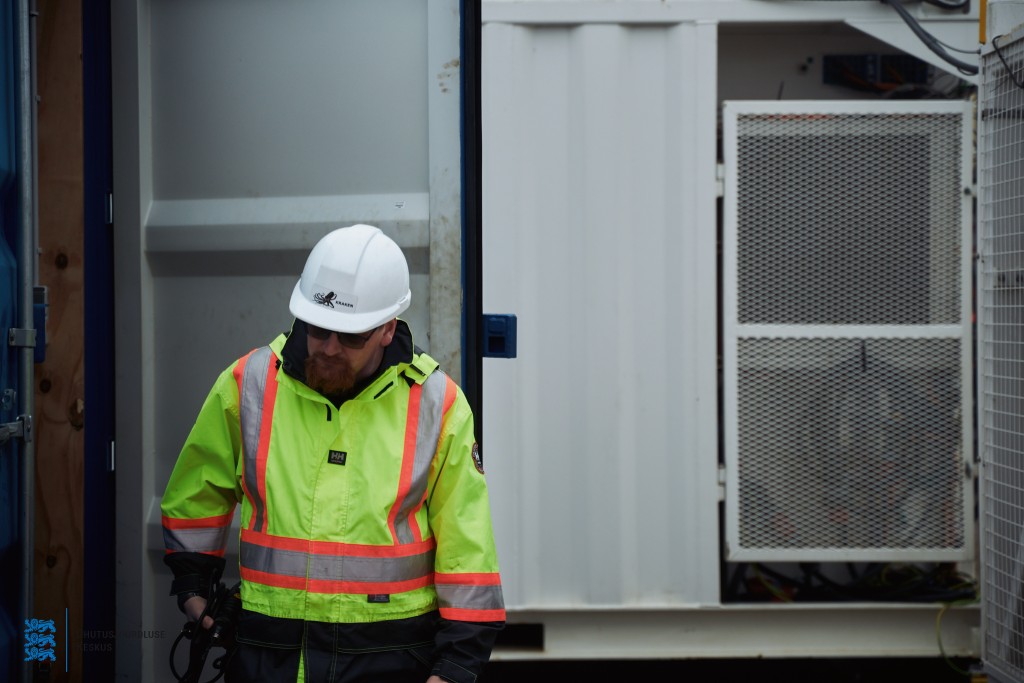
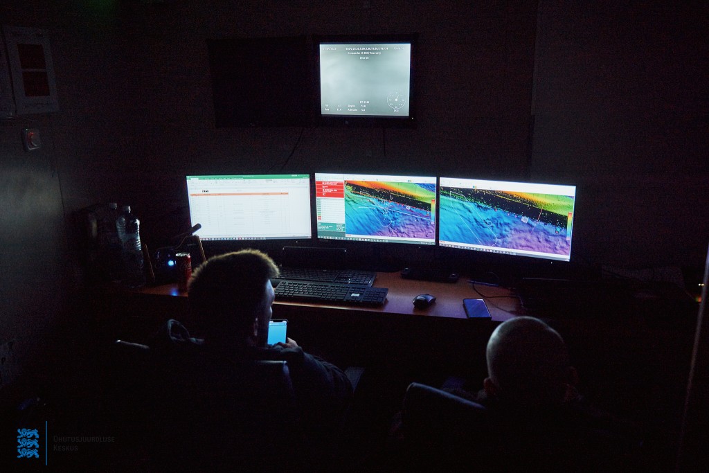
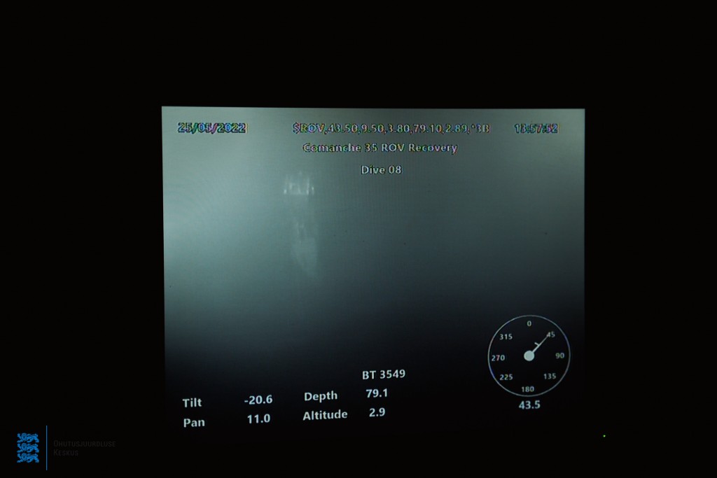
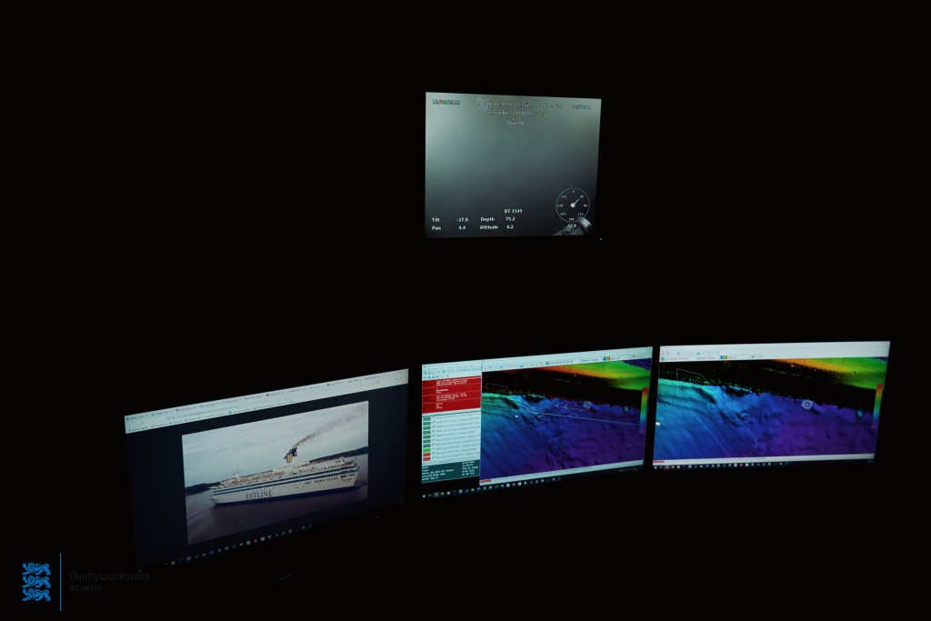
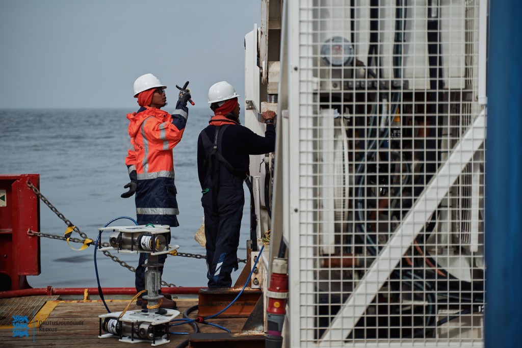
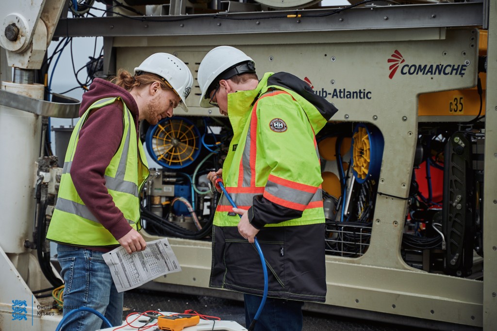
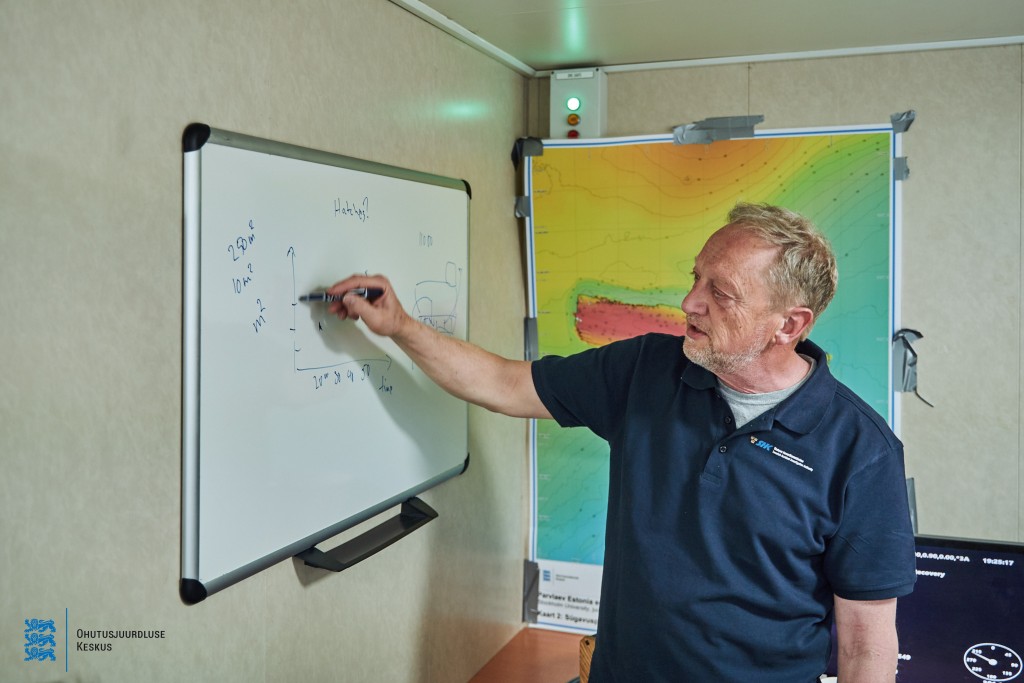
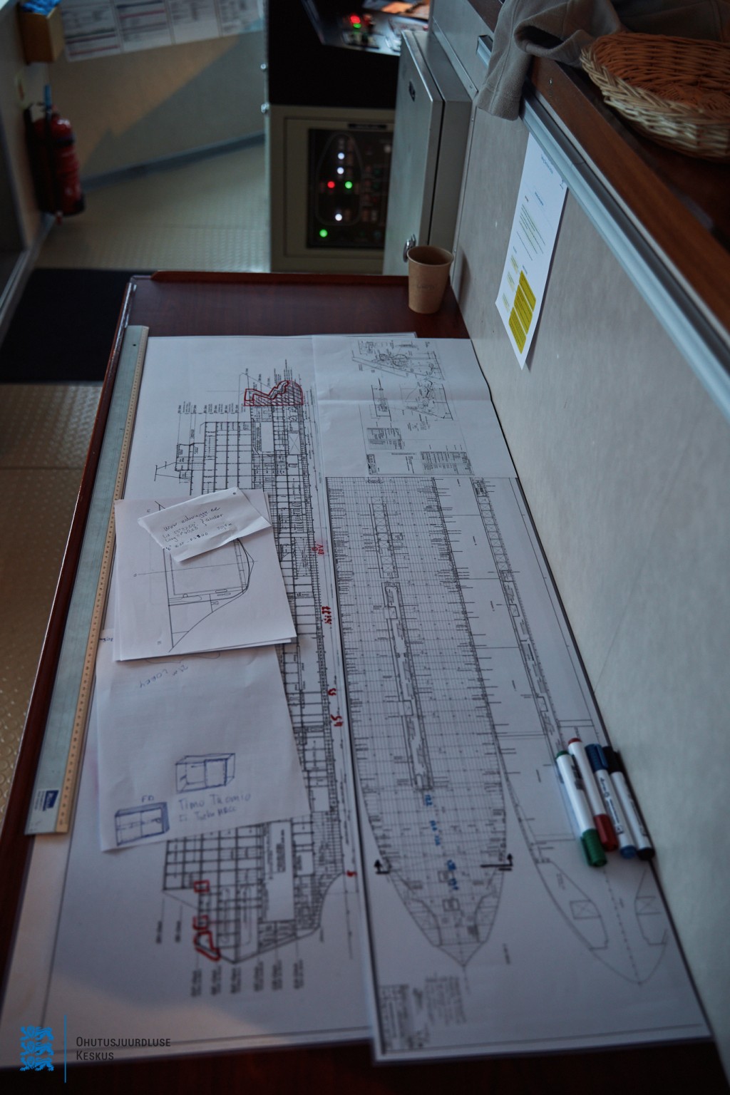
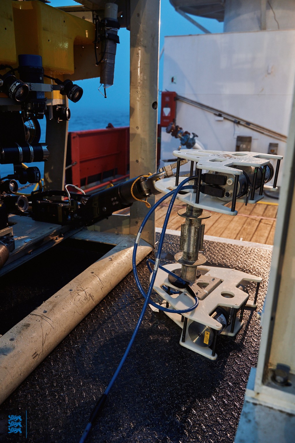
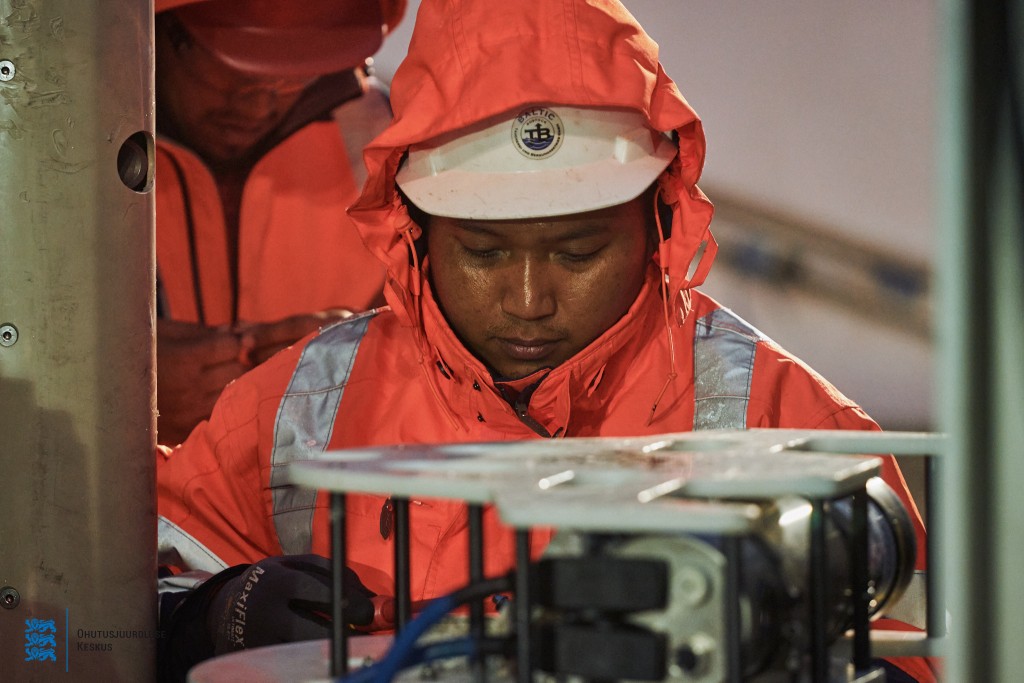
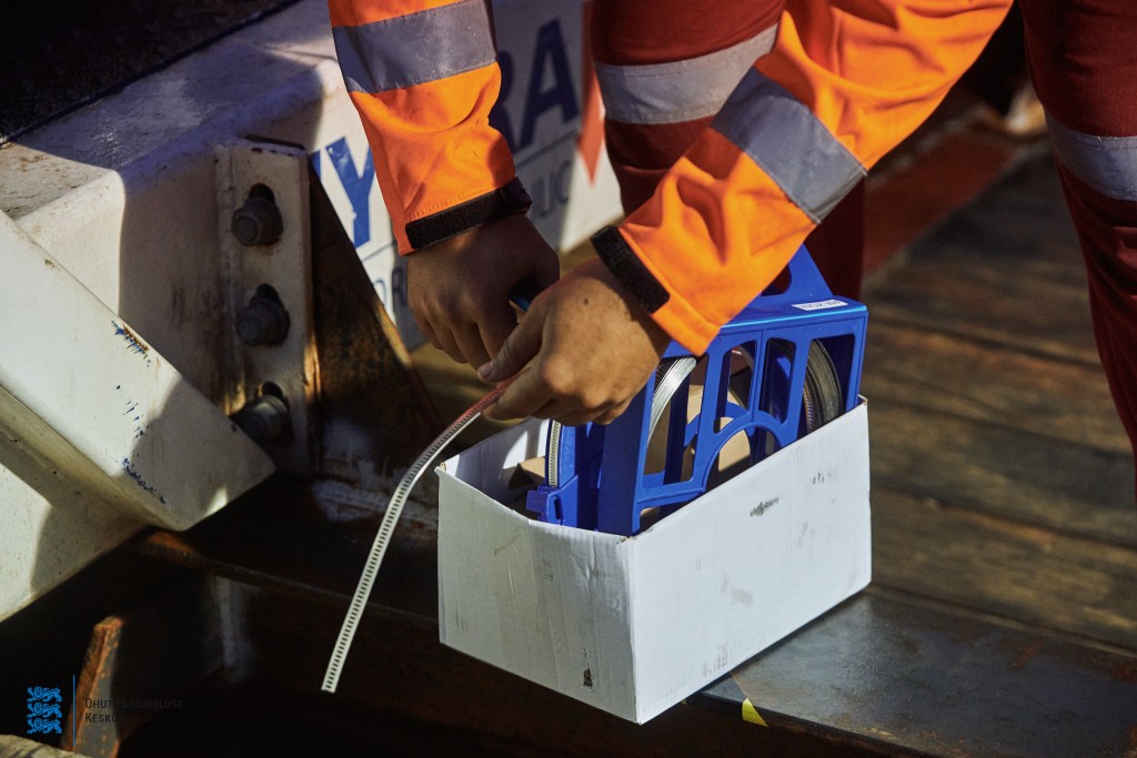
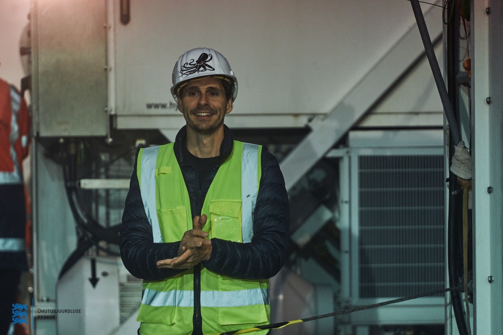
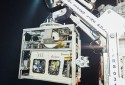
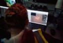
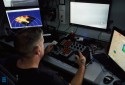
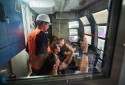
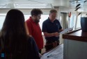
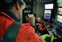
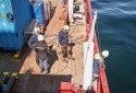
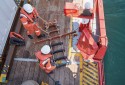
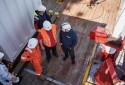
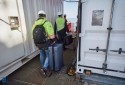
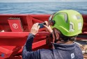
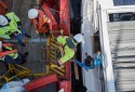
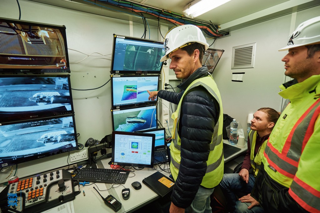
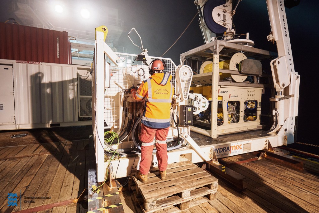
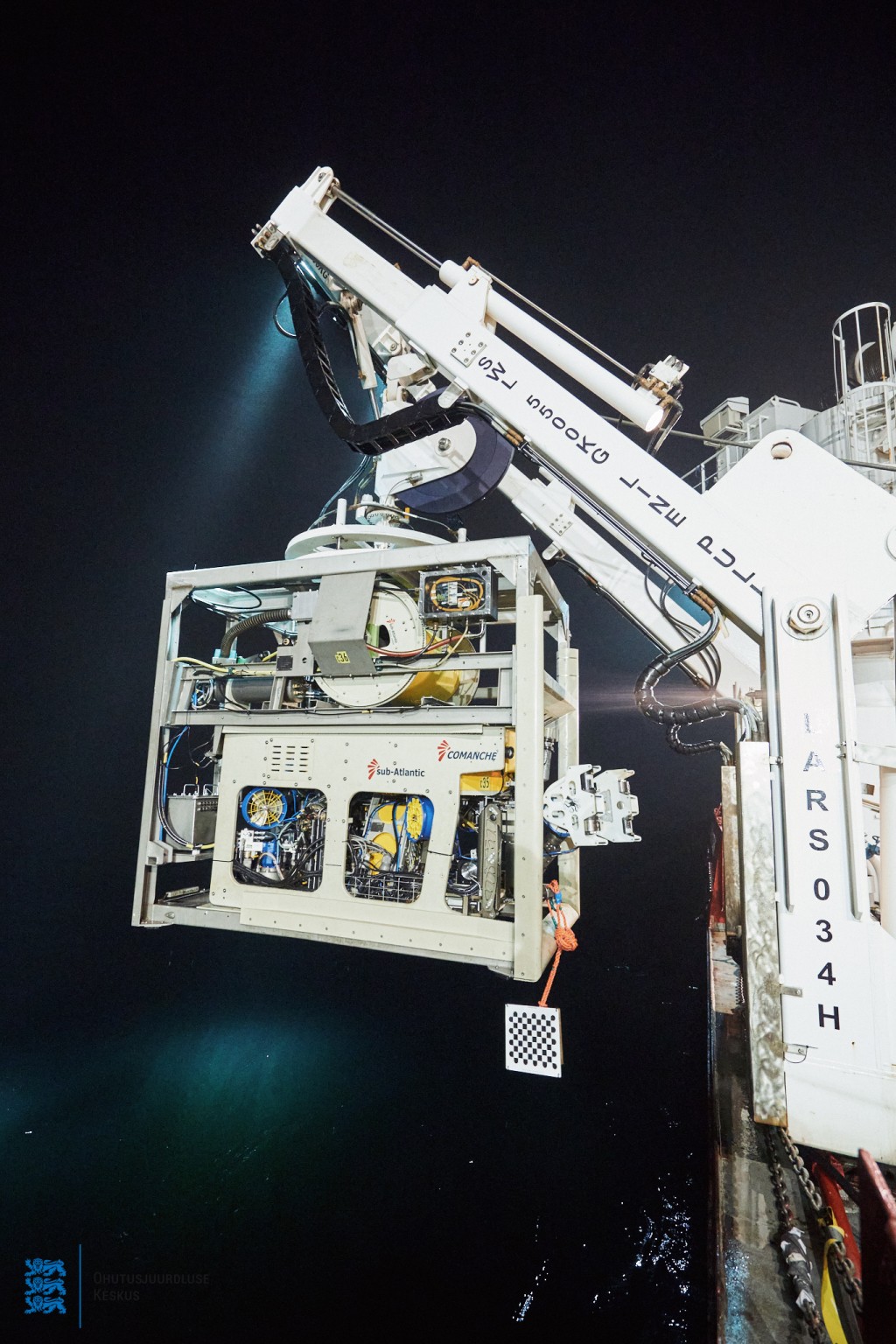
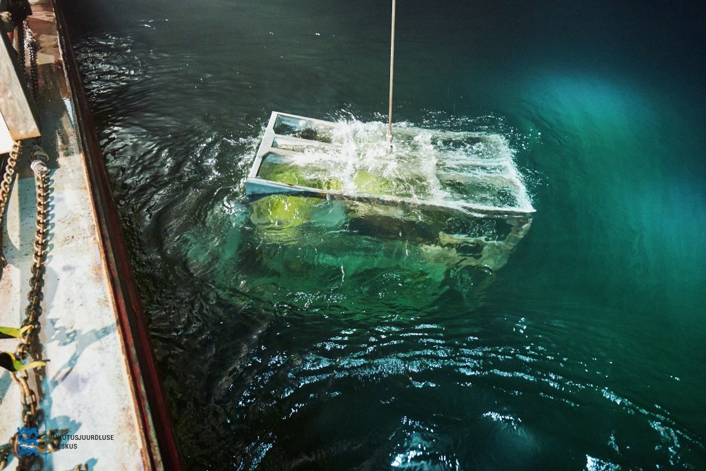
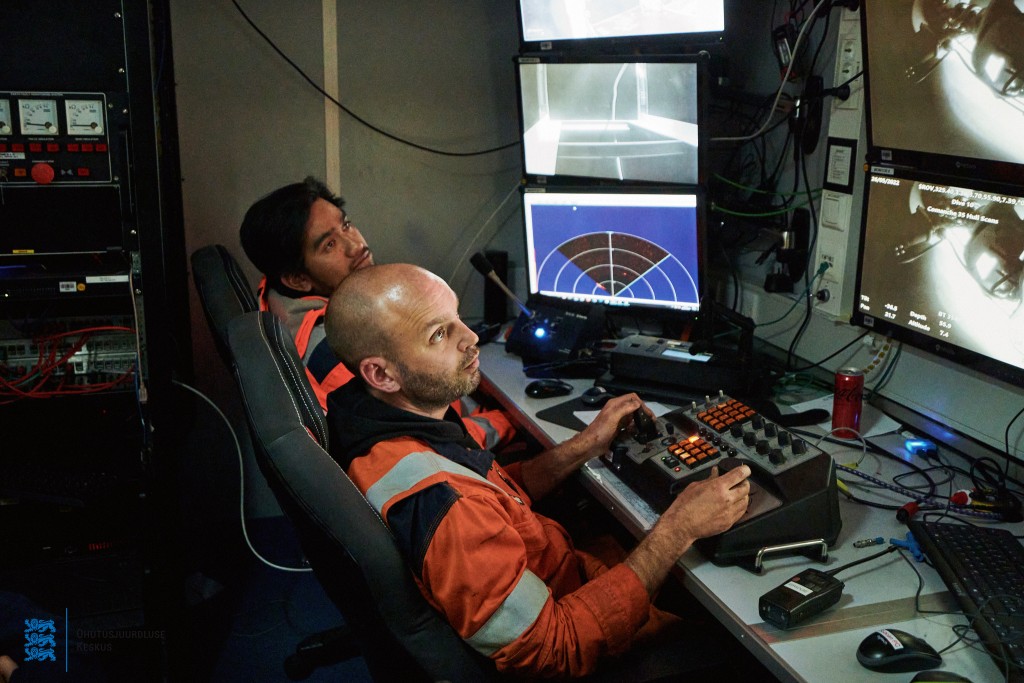
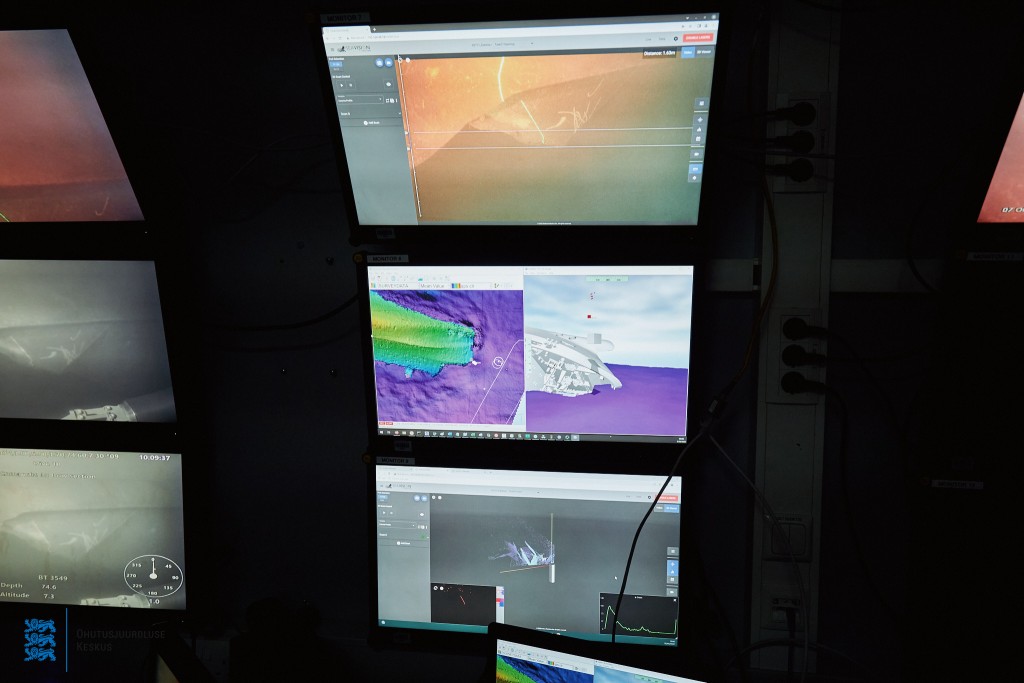
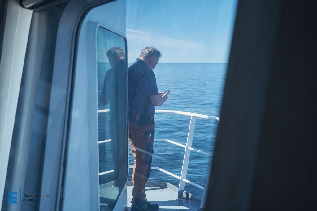
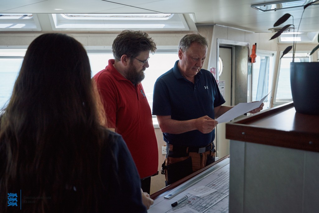
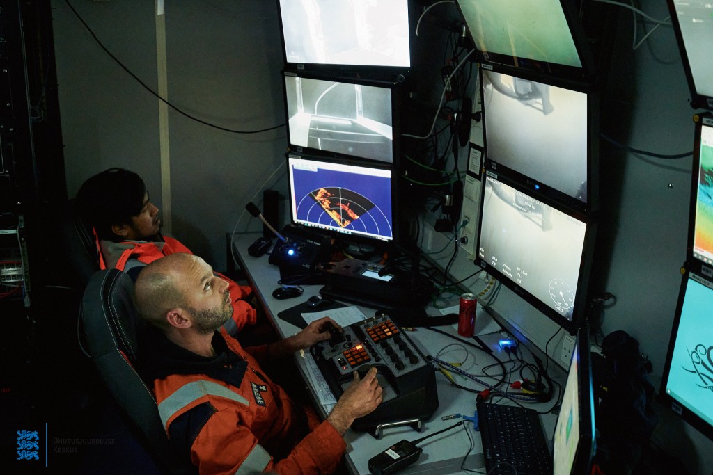
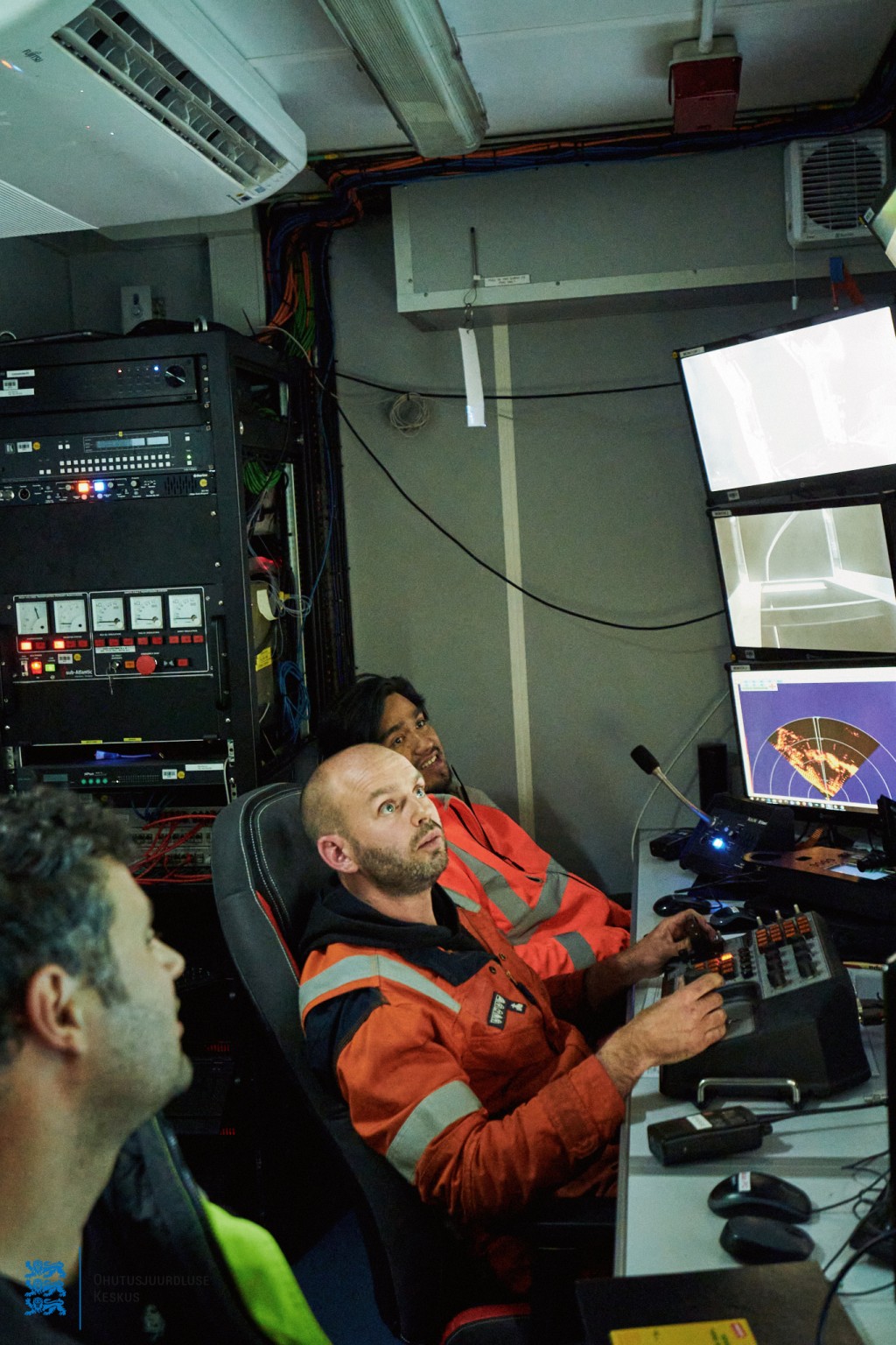
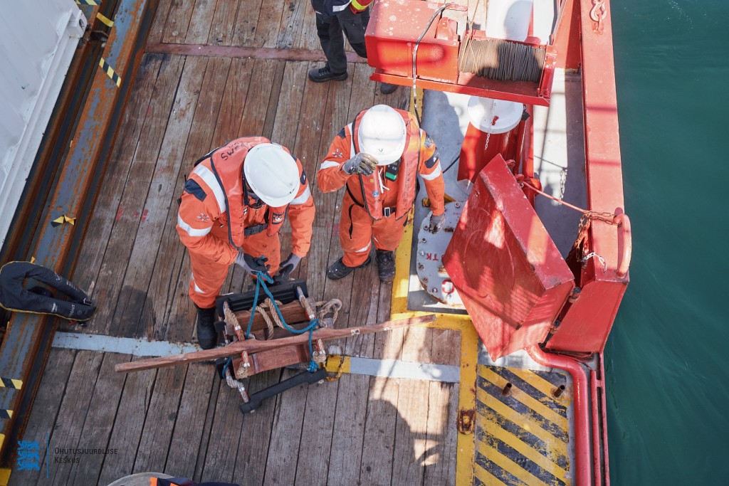
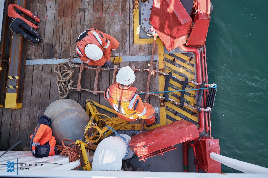
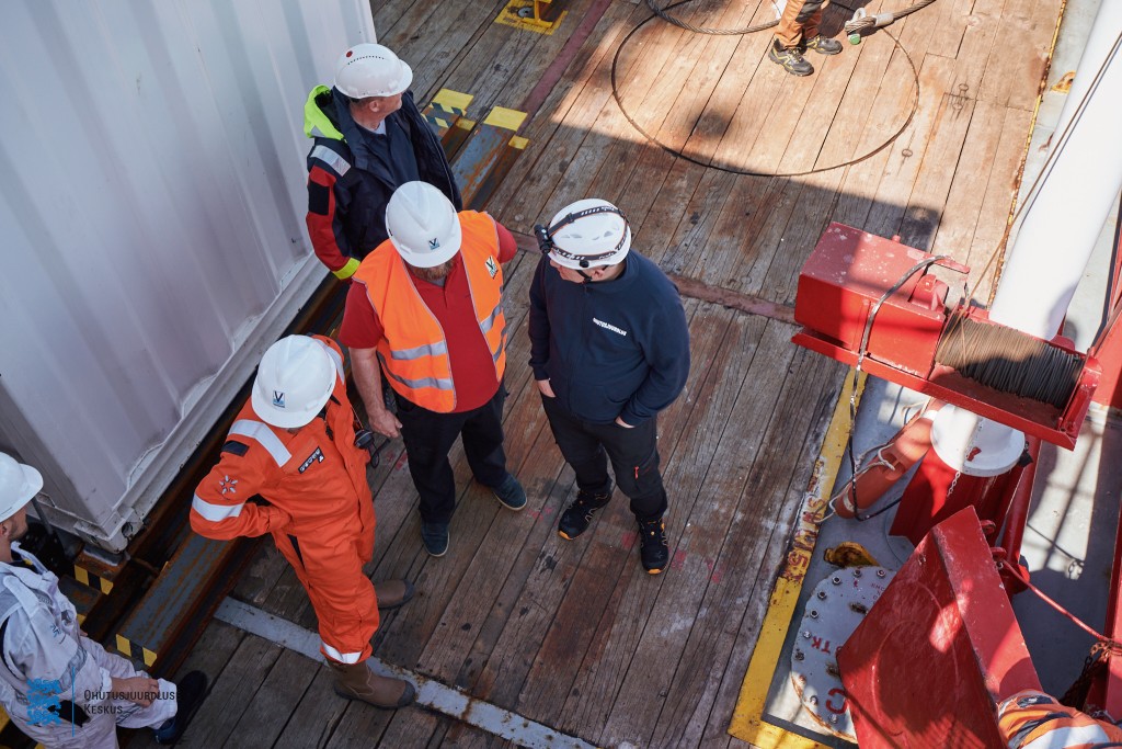
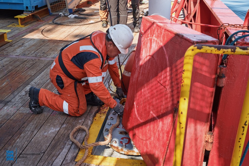
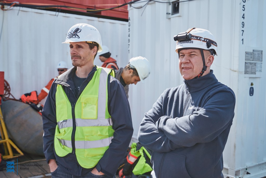
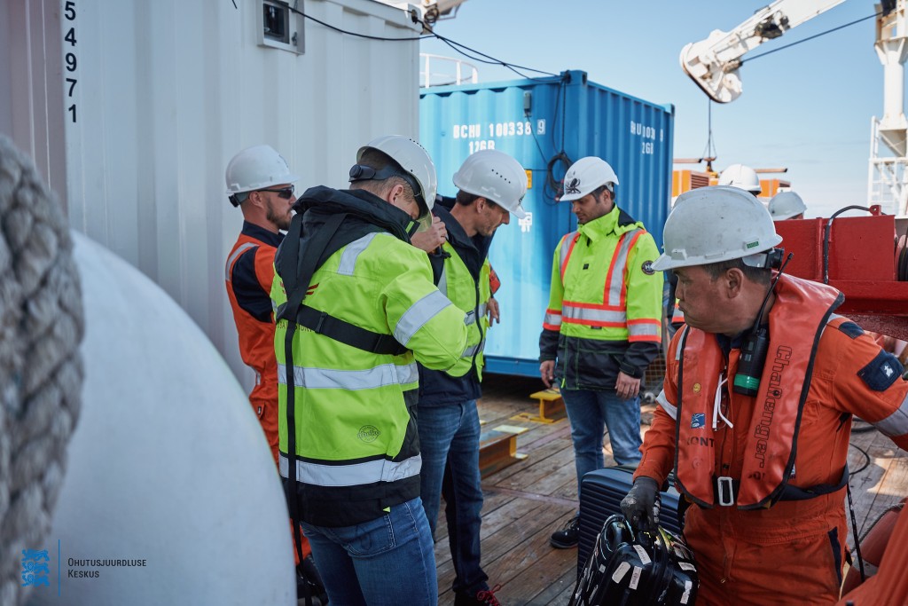
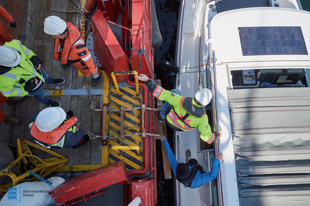
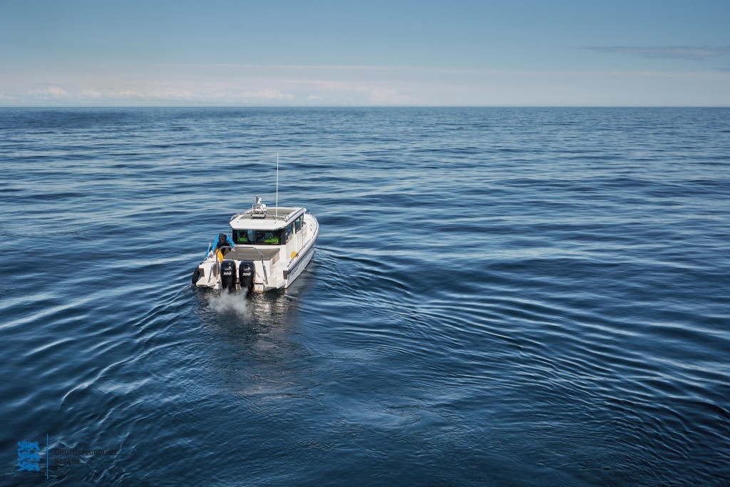
3D laser scanning survey 25.05.2022 (Photographer Andi Kokk)

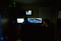
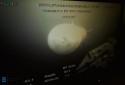
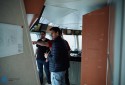


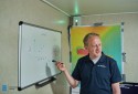


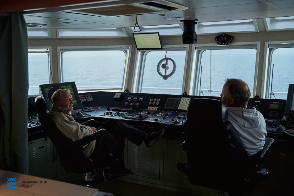
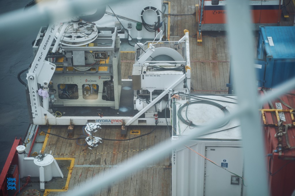
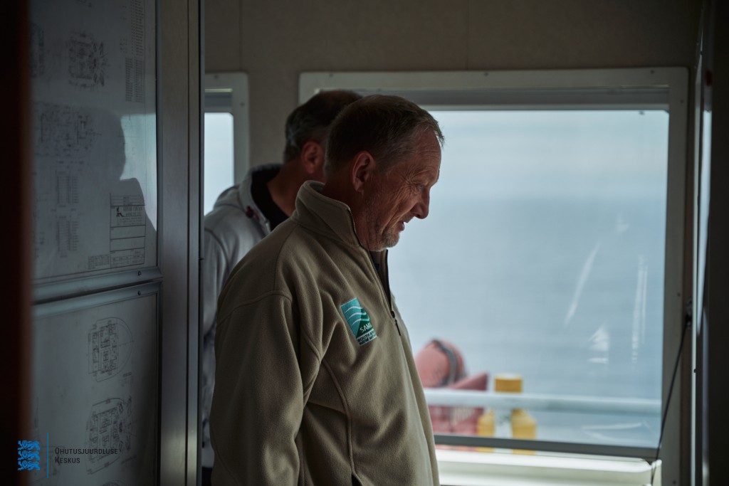


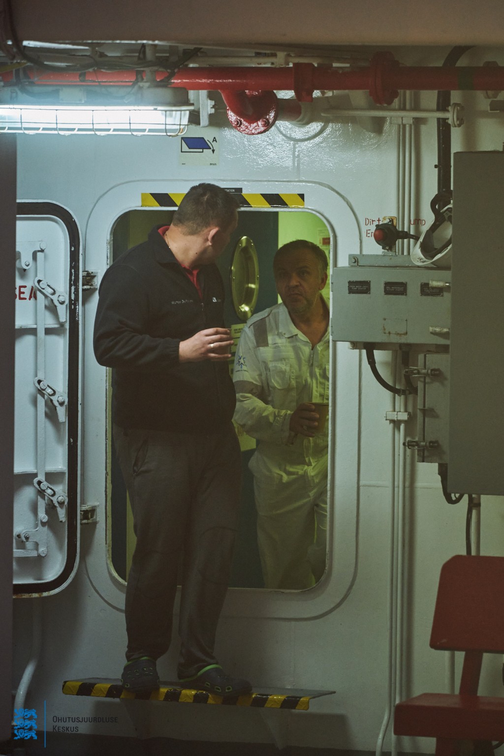
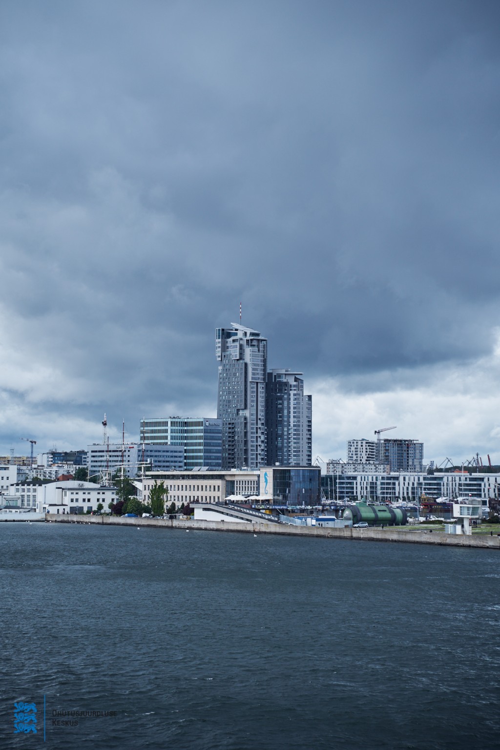
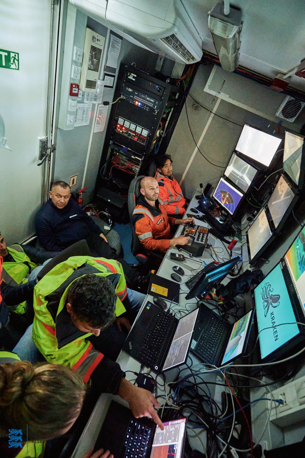
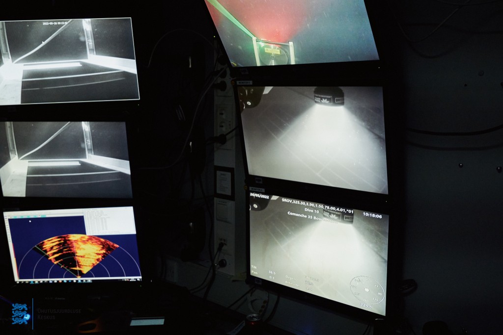
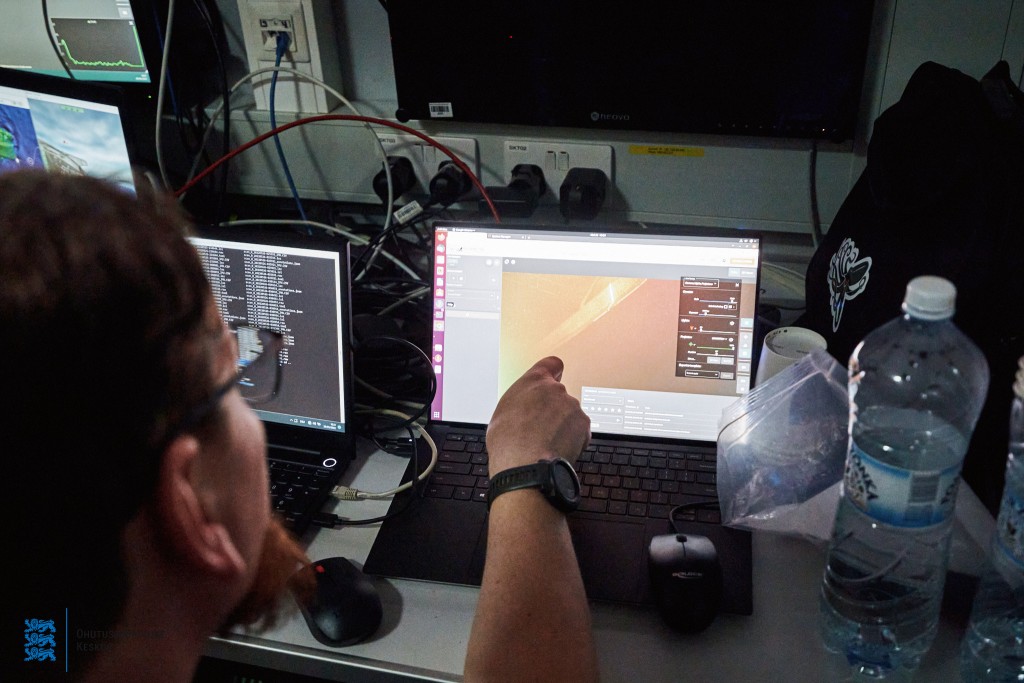
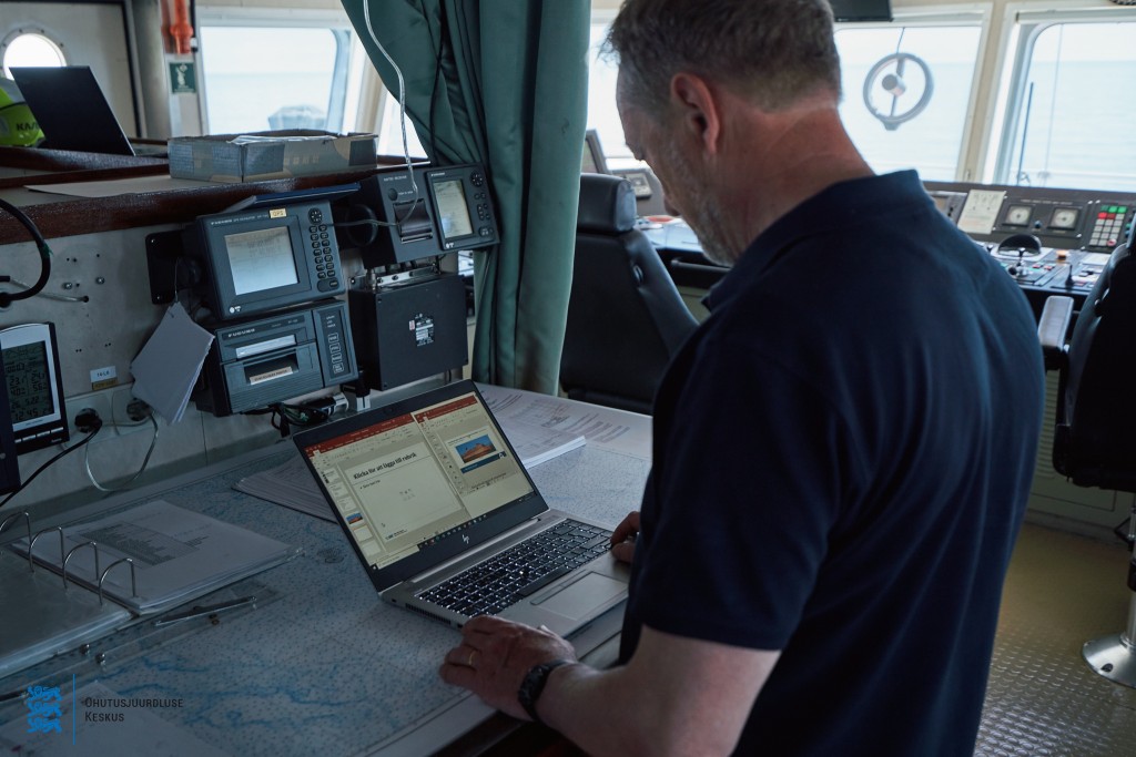
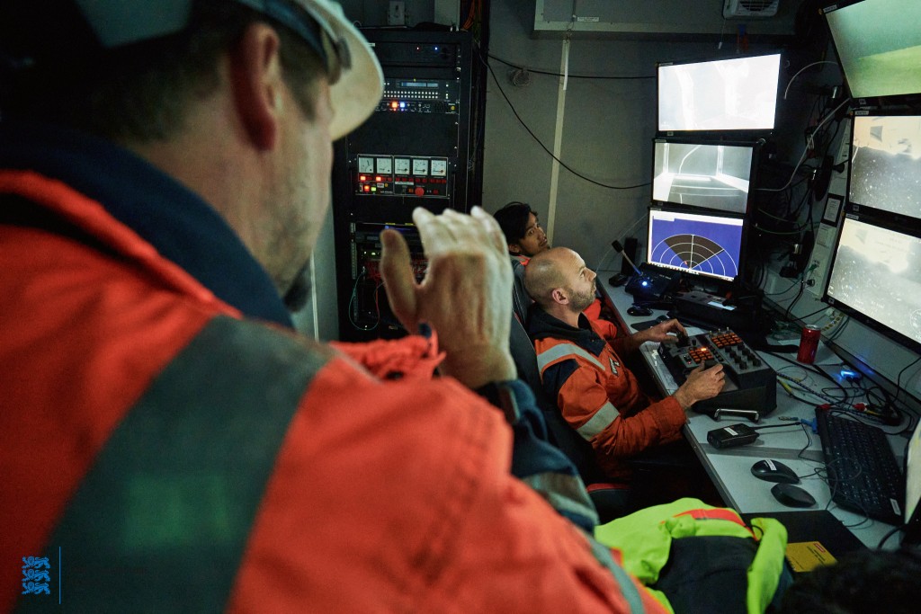
3D laser scanning survey 26.05.2022 (Photographer Andi Kokk)


Last updated: 27.05.2022