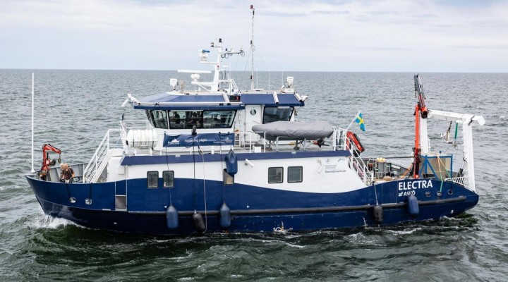
Stockholm University carried out a survey of the MV Estonia wreck site with research vessel RV Electra between the 8th and 15th of July, 2021.
The survey was requested by the Estonian Safety Investigation Bureau (OJK) and Swedish Accident Investigation Authority (SHK). The requested tasks consisted of mapping MV Estonia’s present position on the seafloor as well as the seafloor topography (bathymetry) and geology of the wreck site for the purpose of establishing a base dataset to be used for further assessments of the accident as well for the preparation of additional investigations including, e.g., photogrammetry.
Planning of the expedition, including deciding the specific type of surveys, was done during a series of meetings in the spring of 2021. These meetings were chaired by the OJK and included participants from relevant governmental agencies and research institutions from Estonia, Finland and Sweden.
This report describes the applied acoustic mapping and sampling methods during the EL21-Estonia expedition and presents the results in the form of maps, graphs and computer 3D-visualizations.
All raw (unprocessed) data was shared with SHK and OJK continuously during the survey. Examples of processed data are shown and described in the Results and interpretation section of the report, while appendices include higher resolution maps and tables. Geological interpretations based on the acquired data are included. Some snapshots from the films of MV Estonia’s hull acquired with a Remotely Operated Vehicle (ROV) by the Estonian commercial diving company Tuukritööde OÜ are shown to support geological interpretations. The ROV results are presented in a separate report compiled by Tuukritööde OÜ (2021).
In summary, an area around the wreck of MV Estonia of approximately 2500×1800m was surveyed using RV Electra’s installed multibeam bathymetric echosounder, sub-bottom profiler and midwater split-beam echo sounder as well as with a towed side-scan sonar. In addition, seismic reflection profiles were acquired by the Geological Survey of Estonia from RV Electra using their towed boomer system. Three sediment cores were retrieved with a 6m long piston corer and bottom surface samples were taken with a grab sampler. Stations where salinity, water temperature and oxygen concentration profiles were acquired with a CTD (Conductivity, Temperature, Depth) instrument. Current measurements with an Acoustic Doppler Current Profiler (ADCP) installed in RV Electra were performed along the survey lines of the mid-water echosounder. An ADCP was also installed on a bottom mooring approximately 300m northeast of the shipwreck during the duration of the survey to get additional current information.
RV Electra was supported by the Estonian icebreaker EVA-316 from which high-resolution acoustic imaging of MV Estonia was conducted using a Mesotech scanning sonar placed at specific locations on the seafloor around and on the shipwreck. The scanning sonar results are presented in a separate report by Abbott (2021). Daily expedition notes are presented in Appendix 1.
The full report can be downloaded here: EL Estonia report